French Revolutionary Wars (1792-1802)
Maps and prints of naval engagements collected by George III during the decade of war
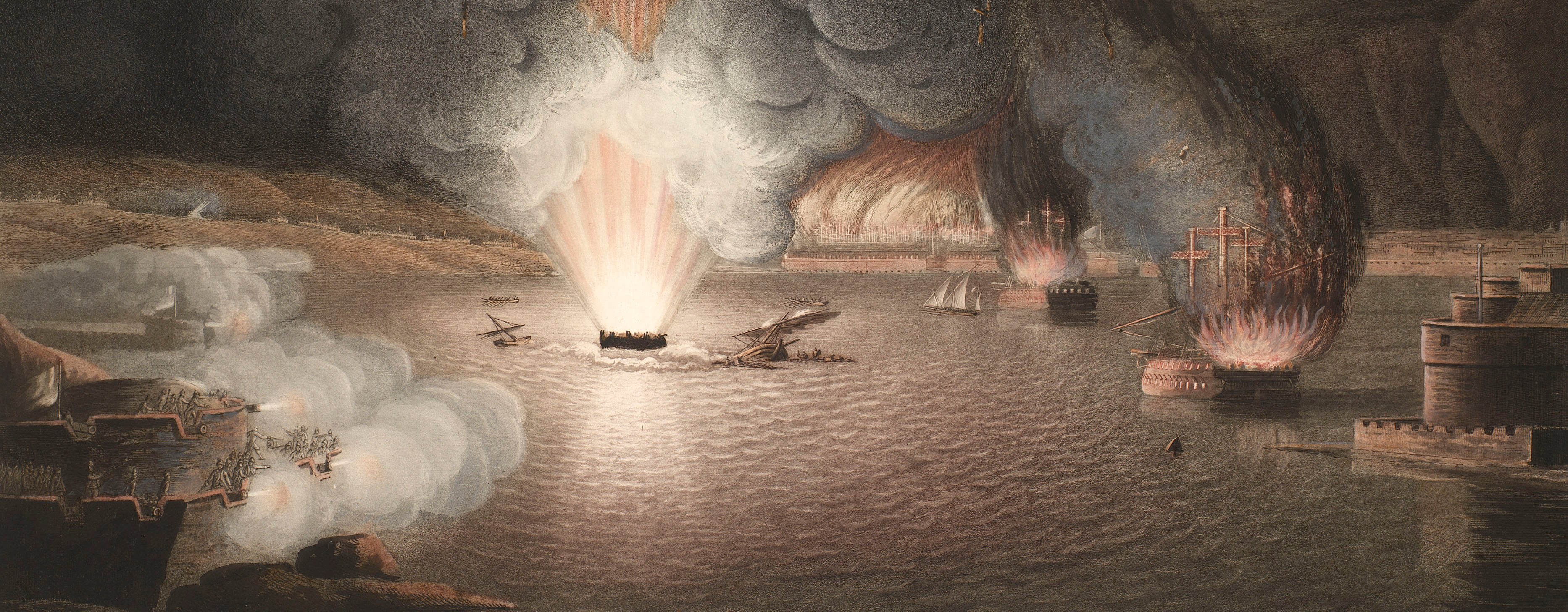
Battle of Copenhagen, 1801 (Copenhagen, Denmark) 55°40'46"N 12°34'22"E
1801 or laterEtching and engraving printed on paper; laid down on paper, the paper backing brought round the edges of the recto; attached to the left edge of RCIN 735093.b | 30.0 x 36.9 cm (image) | RCIN 735093.b
Additional text: [below view, a key, 1-33:] Dansk Styrke. [and, a-i, k-q:] Engelsk Styrke.
Condition: no fold lines; superficial dirt. Verso: surface dirt along left edge.
? Johan Frederik Clemens (1749-1831) (engraver)
After? Christian Auguste Lorentzen (1749-1828) (artist)
Subject(s)
Royal NavyHyde Parker (1739-1807)Navy-DenmarkHoratio Nelson (1758-1805)Watermark: G [followed by a heart with a cross on top] F ENEROL / AMBERT
Condition: no fold lines; superficial dirt. Verso: surface dirt along left edge
21.2 x 36.9 cm (neatline)
30.0 x 36.9 cm (image)
cropped (platemark)
32.2 x 39.3 cm (sheet)
Printed title:
Fölgeblad til Kobbert Slaget 2den April 1801. [bottom, below key]
Additional text:
[below view, a key, 1-33:] Dansk Styrke. [and, a-i, k-q:] Engelsk Styrke.
Annotations:
George III heading: none.
Other annotations: (Recto) [bottom left of view neatline, black pencil:] 14. (Verso) [bottom left, black pencil, in a modern hand:] CM [i.e. Cumberland Maps] XV/93 1st state cust 155 j(i).
George III catalogue entry:
Naval Engagement View of the Battle in the Road of Copenhagen on the 2.d of April 1801: by C.A. Lorentzen, engraved by J.F. Clemens: with an Index Plate.
Subject(s)
Copenhagen, Denmark (55°40'46"N 12°34'22"E)
Page revisions
25 May 2024
Current version


