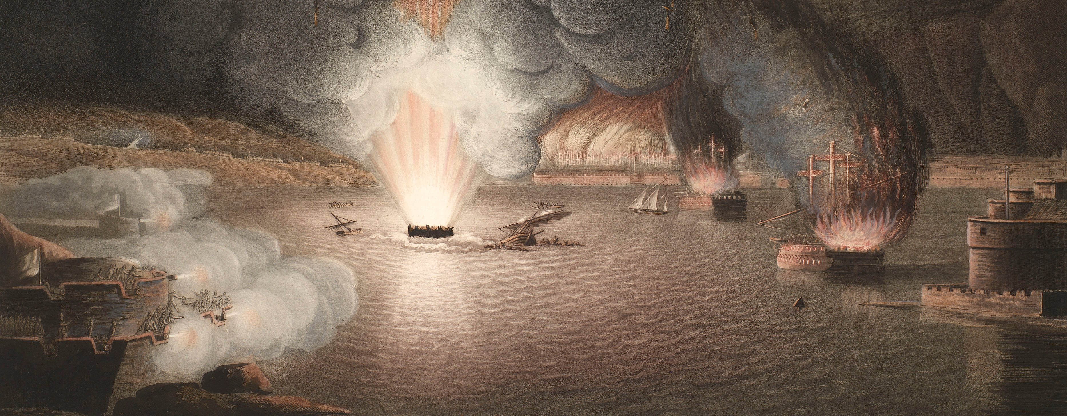
French Revolutionary Wars (1792-1802)
Maps and prints of naval engagements collected by George III during the decade of war
Battle of Famars, 1793 (Valenciennes, Nord-Pas-de-Calais, France) 50°21'00"N 03°32'00"E; (Famars, Nord-Pas-de-Calais, France) 50°19'02"N 03°31'10"E
1796Etching and engraving; printed on the same sheet of paper as the accompanying letterpress text and pasted to the left margin of the view (see RCIN 735013.a) | 26.5 x 21.2 cm (image and platemark) | RCIN 735013.b
A printed key to the view of the Battle of Famars, 23 May 1793 (RCIN 735013.a).
Daniel Orme (1766-1837) (publisher) [bottom centre of plate:] Pub,d [followed by a gap] 1795, at Orme’s Gallery, London.
Watermark: IHL
26.5 x 21.2 cm (image and platemark)
25.0 x 17.6 cm (text sheet)
26.8 x 43.0 cm (sheet)
Printed title:
Key to M,,r Orme’s PRINT of the Battle of FAMARS. [left of index plate]
Printed title:
DESCRIPTION / OF THE / GRAND HISTORICAL PICTURE, / OF THE / MEMORABLE ATTACK / ON THE / HILLS OF FAMARS, BEFORE VALENCIENNES, / ON THE TWENTY-THIRD OF MAY, 1793, / By the Combined Armies, / UNDER THE COMMAND OF / HIS ROYAL HIGHNESS, FREDERICK, DUKE OF YORK. / Painted by M. BROWN, Esq. [letterpress description of the battle with an extract from the Gazette of 27 May 1793, printed on the same sheet as the index plate]
Annotations:
George III heading [black pencil:] Military Battle of Famars 22 May 1793 Port folio No 3 G-3.
Other annotations: (Recto) none. (Verso) [bottom, obscured by paper backing, black pencil: the old heading]; [bottom right, black pencil:] 1793-11; [top right, black pencil:] 11; [top left, black pencil:] 10.
George III catalogue entry:
Famars View of the Battle of Famars near Valenciennes on the 23.d of May 1793: by M. Brown, engraved by D. Orme, 1796: with an Index Plate and Description.
Subject(s)
Valenciennes, Nord-Pas-de-Calais, France (50°21'00"N 03°32'00"E)
Famars, Nord-Pas-de-Calais, France (50°19'02"N 03°31'10"E)
Page revisions
5 June 2024
Current version


