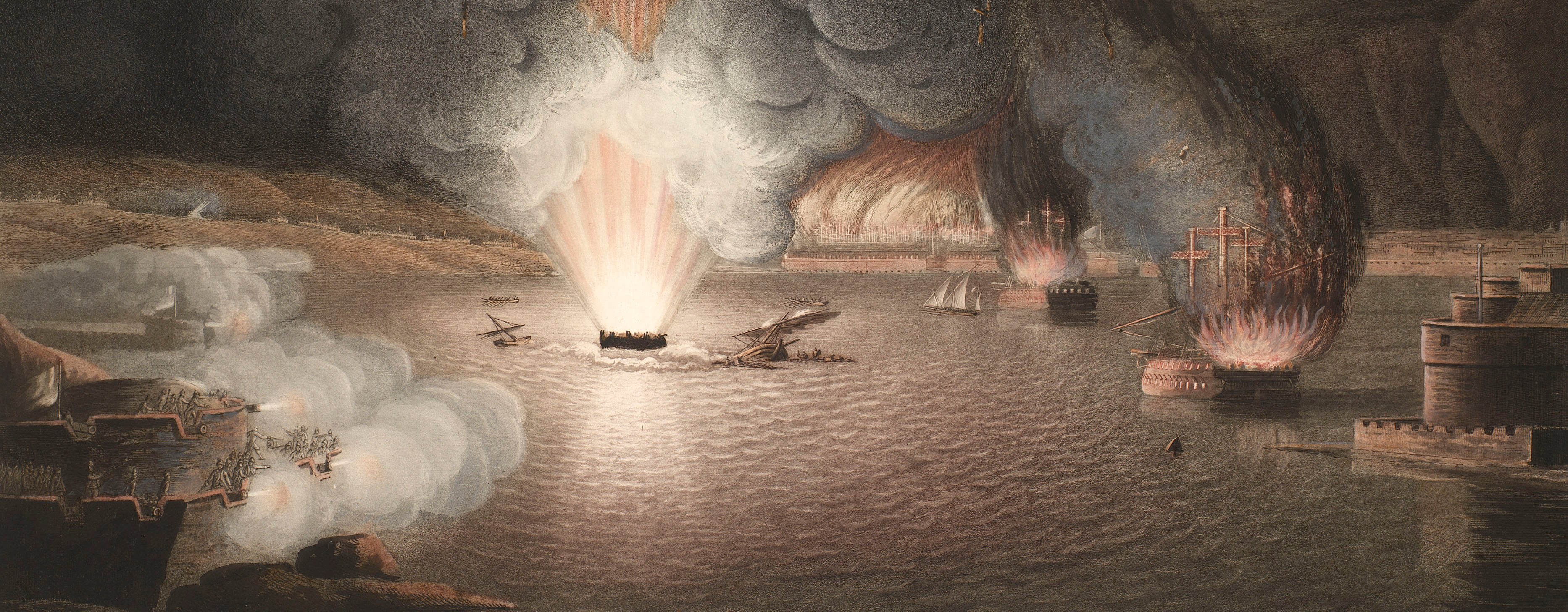
French Revolutionary Wars (1792-1802)
Maps and prints of naval engagements collected by George III during the decade of war
Map of Champagne and Lorraine, 1792 (administrative region of Champagne-Ardenne, France); (administrative region of Lorraine, France)
c.1792Pencil, pen, ink and watercolour on paper; laid down on coarse linen; edged with pink silk; pink linen ties to left edge | Scale: 1:85,000 approx. Scale bar: Echelle de 10,000 Toises [229 mm =]. (scale) | RCIN 735006
The map covers an area of approximately 1200 square miles (3088 square km), and extends from Beaumont-en-Argonne (Champagne-Ardenne 49°32'16"N 05°03'28"E) in the north, to Autrécourt-sur-Aire (Lorraine 49°02'00"N 05°08'00"E) in the south, and from Suippes (Champagne-Ardenne 49°07'43"N 04°32'04"E) in the west to Metz (Lorraine 49°07'08"N 06°10'21"E) in the east. A key, bottom centre, gives the colours which distinguish the different armies. Different positions of the armies west of Sainte-Menehould (49°05'00"N 04°54'00"E) are drawn on a flap, which is pasted to the base map.
This region was the scene of the first campaign of the French Revolutionary Wars in which the Combined army (Prussia, Hesse, Austria), under the command of Charles William Ferdinand, Duke of Brunswick-Wolfenbüttel (1735-1806), invaded French territory. The campaign ended with the retreat of the Combined army.
The basic topographical details of this map (rivers, settlements, and principal roads) will have been copied from available published small-scale maps. The area to the east, which was not of immediate operational interest, has been left without the infill of terrain and woodland which was added to those areas of the map where the actions and movements took place.
The information on this map is very similar to that shown on the published map (RCIN 735007.1) which was based on the work of an un-named Aide-de-Camp to the comte d'Artois. It is possible that this manuscript map is also by that ADC.
Condition: three fold lines; surface dirt along right edge. Verso: surface dirt along right edge, the pattern of the dirt is consistent with the map having been rolled and tied; the pattern of the dirt on the centre panel is consistent with the map also having been folded, perhaps lying on a table with another item on top of it for long enough for the dirt to have accumulated.
Anonymous (cartographer)
Subject(s)
Army-HesseArmy-GermanyArmy-AustriaArmy-FranceWatermark: Map: indistinct. Flap: I TAYLOR.
Condition: three fold lines; surface dirt along right edge. Verso: surface dirt along right edge, the pattern of the dirt is consistent with the map having been rolled and tied; the pattern of the dirt on the centre panel is consistent with the map also having been folded, perhaps lying on a table with another item on top of it for long enough for the dirt to have accumulated
Scale: 1:85,000 approx. Scale bar: Echelle de 10,000 Toises [229 mm =].
67.8 x 152.4 cm (neatline)
77.6 x 153.3 cm (image)
12.1 x 18.9 cm (image of flap)
79.1 x 154.9 cm (sheet)
Printed title:
No title
Annotations:
George III heading: [bottom left, black pencil:] Military. [bottom right, black pencil:] Champagne & Lorraine 1792.
Other annotations: (Recto) none. (Verso) [bottom, left of centre, red ink on red-printed Royal Library label, in a modern hand:] XV/6 Champagne.
George III catalogue entry:
Champagne A drawn Map of the Northern parts of Champagne and Lorraine, with the Encampments of the Austrian, Prussian and Hessian Armies: and also those of the French in the months of August, September and October 1792. 3 sheets.
Subject(s)
Administrative region of Champagne-Ardenne, France
Administrative region of Lorraine, France
Page revisions
3 November 2024
Current version


