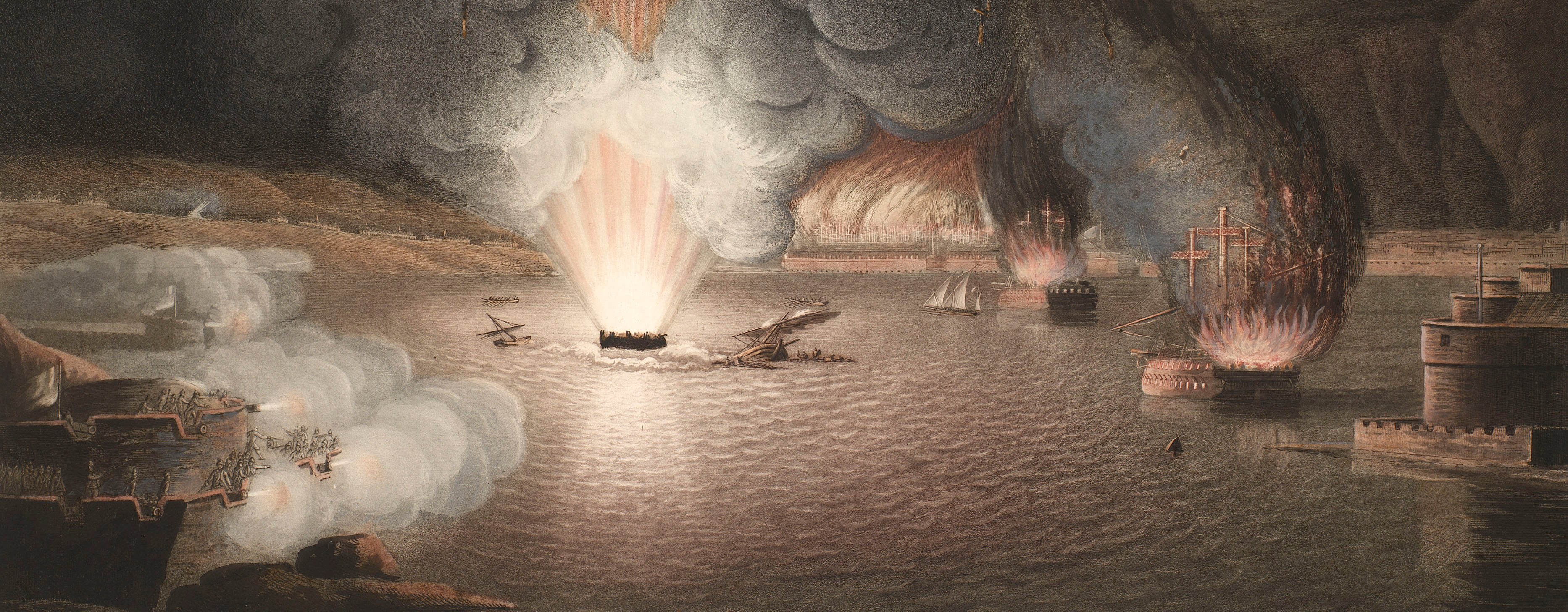
French Revolutionary Wars (1792-1802)
Maps and prints of naval engagements collected by George III during the decade of war
Map of Aboukir and River Nile, 1798 (Abu Qir, Alexandria, Egypt) 31°19'10"N 30°03'38"E
published 25 Dec 1798Engraving and etching; printed on paper; hand coloured | Scale: not stated | RCIN 735068
A map of the Battle of the Nile, fought on 1-2 August 1798 between the British fleet, commanded by Rear-Admiral Sir Horatio Nelson, and the fleet of the French expeditionary force commanded by Napoleon, resulting in a British victory. French Revolutionary Wars (1792-1802). Oriented with north to top (compass rose).
The General Mack mentioned in the imprint probably refers to General Karl Mack von Leiberich (1752-1828), the Austrian commander of the forces which were to surrender to Napoleon at the Battle of Ulm in 1805. The Captain Bladon of whom mention is also made, probably refers to Captain Thomas Bladen (1776-1853; later Admiral Sir Thomas Bladon Capel), who was present at the Battle of the Nile.
John Brydon (active 1783-1806) (publisher) [bottom centre:] London. Published as the Act directs, Dec.r 25,th 1798, by John Brydon, N.o 7 Charing Cross, fronting Parliament Street.
Thomas Vivares (c. 1735- c. 1810) (engraver) [bottom left, below edge of neatline:] VIVARES fec.t
Anonymous military engineer (draughtsman) [bottom right, below list of French ships:] Drawn at Vienna at the Desire / of General Mack by his first / Engineer from the Documents & under / the Inspection of Cap.tn Capel.
Subject(s)
Royal NavyNavy-FranceHoratio Nelson (1758-1805)Vice-Admiral FP BrueysWatermark: None
Condition: one fold line. Verso: offsetting from another copy of the same chart
Scale: not stated
41.9 x 53.4 cm (image)
[cropped] x 59.9 cm (platemark)
32.7 x 37.0 cm (neatline)
50.1 x 62.8 cm (sheet)
Printed title:
PLAN of the ever memorable ENGAGEMENT of ABUKIR at the Mouth of the NILE, / which took place on the 1st & 2nd of August 1798, between the BRITISH FLEET commanded by Rear Admiral SIR HORATIO NELSON K.B. and the / FRENCH FLEET commanded by Admiral BRUIYS exhibiting not only an accurate perspective View of the two Fleets as situated in the Evening of the Engagement, but / marking also the different Soundings of the Bay which was the Scene of Action. [top, above border]
Additional text:
[left, down left side of map, a list of the fourteen British ships with the number of guns and men for each:] ENGLISH Line of Battle. [Right, down right side of map, a list of the French ships with the number of guns and men of each:] FRENCH Line of Battle. [Bottom left, a key, A-F, to various features on the map:] Explanations.
Annotations:
George III heading: Naval Engagement of the Nile 1 –2 Aug. 1798.
Other annotations: (Recto) none. (Verso) [bottom, right of centre, black pencil, erased:] XVII/[?]7; [bottom right, black pencil:] Cust 134 bb (ii).
George III catalogue entry:
Naval Engagement Plan of the Engagement of Abukir at the Mouth of the Nile on the 1.st and 2.d of August 1798, between the British Fleet commanded by Rear Admiral Sir Horatio Nelson, and the French Fleet commanded by Admiral Bruiys: published by Brydon, 1798.
Page revisions
25 May 2024
Current version


