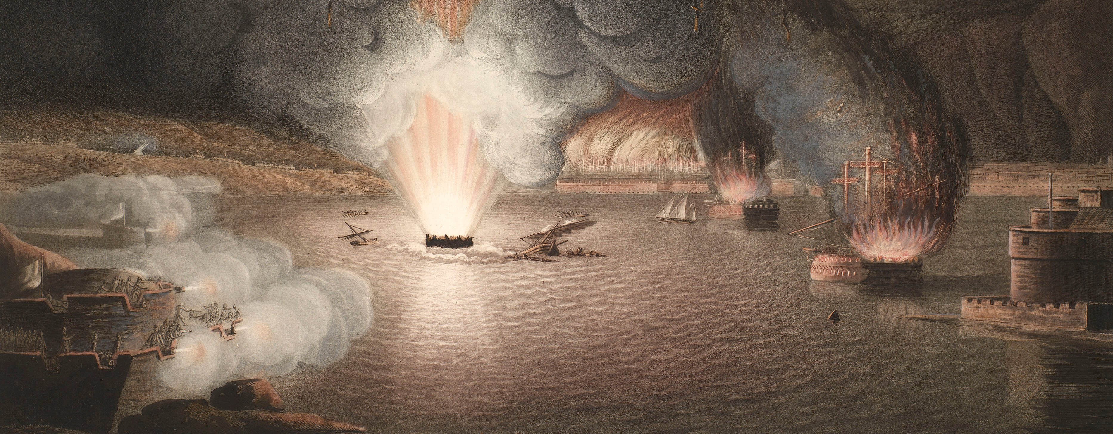
French Revolutionary Wars (1792-1802)
Maps and prints of naval engagements collected by George III during the decade of war
Map of Buren and Tuil, 1794-5 (Gemeente Buren, Gelderland, Netherlands) 51°54'32"N 05°20'02"E; (Tuil, Gelderland, Netherlands) 51°49'24"N 05°14'25"E
1795 or laterEtching and engraving; printed on paper | Scale: 1:34,500 approx. | RCIN 735030.a
The area covered by the map extends from Buren (Gelderland 51°54'42"N 05°19'55"E) in the north to Crèvecoeur (North Brabant 51°44'12"N 05°16'00"E) in the south, and from Gammern (i.e. Gameren, Gelderland 51°48'03"N 05°12'15"E) in the west to Zoelen (Gelderland 51°54'45"N 05°24'10"E) in the east. The positions of the British and Hanoverian regiments at different times from 18 October 1794 to 10 January 1795, are marked.
Additional text: [top right, below title, in title cartouche, descriptive keys in five sections:] Erklaerung der Buchstaben und Nummern: / A Position an der Maas nach den Dislocation am 18t October 1794; B Position an der Waal nach den Dislocn vom 25t Novbr.; C Ubergang der französischen Armée über die beeisten Flüsse am 27t Debr.; D Affaire bei Tuil am 30t Decbr.; E Affaire bei Büren. [This key is translated into English in an accompanying manuscript text at RCIN 735030.b:] Plan & Explanation of the Opposite Situation of / the Armies on the Banks of the Maas & Waal, of the passage of the / French Army; and of the Actions near Tuil and Büren during the / Winter Campaign in Holland from 1794 to 1795.
Condition: one fold line; three small tears to top edge; surface dirt around edges. Verso: some offsetting from the same image, perhaps from being laid down on a newly-printed image from the same copperplate; surface dirt around the edges.
HJ Martens (active 1795) (cartographer) [bottom left, below border:] Entworfen von H. J. Martens.
H Tretto (active 1795) (engraver) [bottom right, below border:] gest: von. H. Tretto.
Subject(s)
Army-GBArmy-HanoverWatermark: C & I HONIG
Mark, stamped: 1078
Condition: one fold line; three small tears to top edge; surface dirt around edges. Verso: some offsetting from the same image, perhaps from being laid down on a newly-printed image from the same copperplate; surface dirt around the edges
Scale: 1:34,500 approx. Scale bar: Mastab v 5000 Schrit á 2 fus 6 Rheinl [104 mm =].
61.0 x 80.7 cm (neatline)
61.9 x 81.3 cm (image)
trimmed (platemark)
62.0 x 83.1 cm (sheet)
Printed title:
Plan / der gegenseitigen Position an der Maas und Waal, / des Ubergangs der französischen Armée und der Affairen bei Tuil / und Büren, während des Winter Feldzugs in Holland von 1794 auf 1795. [top right, in rococo cartouche]
Additional text:
[top right, below title, in title cartouche, descriptive keys in five sections:] Erklaerung der Buchstaben und Nummern: / A Position an der Maas nach den Dislocation am 18t October 1794; B Position an der Waal nach den Dislocn vom 25t Novbr.; C Ubergang der französischen Armée über die beeisten Flüsse am 27t Debr.; D Affaire bei Tuil am 30t Decbr.; E Affaire bei Büren. [This key is translated into English in an accompanying manuscript text at RCIN 735030.b:] Plan & Explanation of the Opposite Situation of / the Armies on the Banks of the Maas & Waal, of the passage of the / French Army; and of the Actions near Tuil and Büren during the / Winter Campaign in Holland from 1794 to 1795.
Annotations:
George III heading: Meuse and Waal 1794-1795.
Other annotations: none.
George III catalogue entry:
Meuse Plan der gegenseitigen Position an der Maas und Waal, des ubergangs der Franzosischen Armee, und der Affairen bei Tuil und Buren, wahrend des Winter Feldzugs in Holland von 1794 auf 1795; von H.I. Martens: with a MS. translation of the Title and References. [The same entry appears under the heading Waal.]
Subject(s)
Gemeente Buren, Gelderland, Netherlands (51°54'32"N 05°20'02"E)
Tuil, Gelderland, Netherlands (51°49'24"N 05°14'25"E)
Page revisions
3 November 2024
Current version


