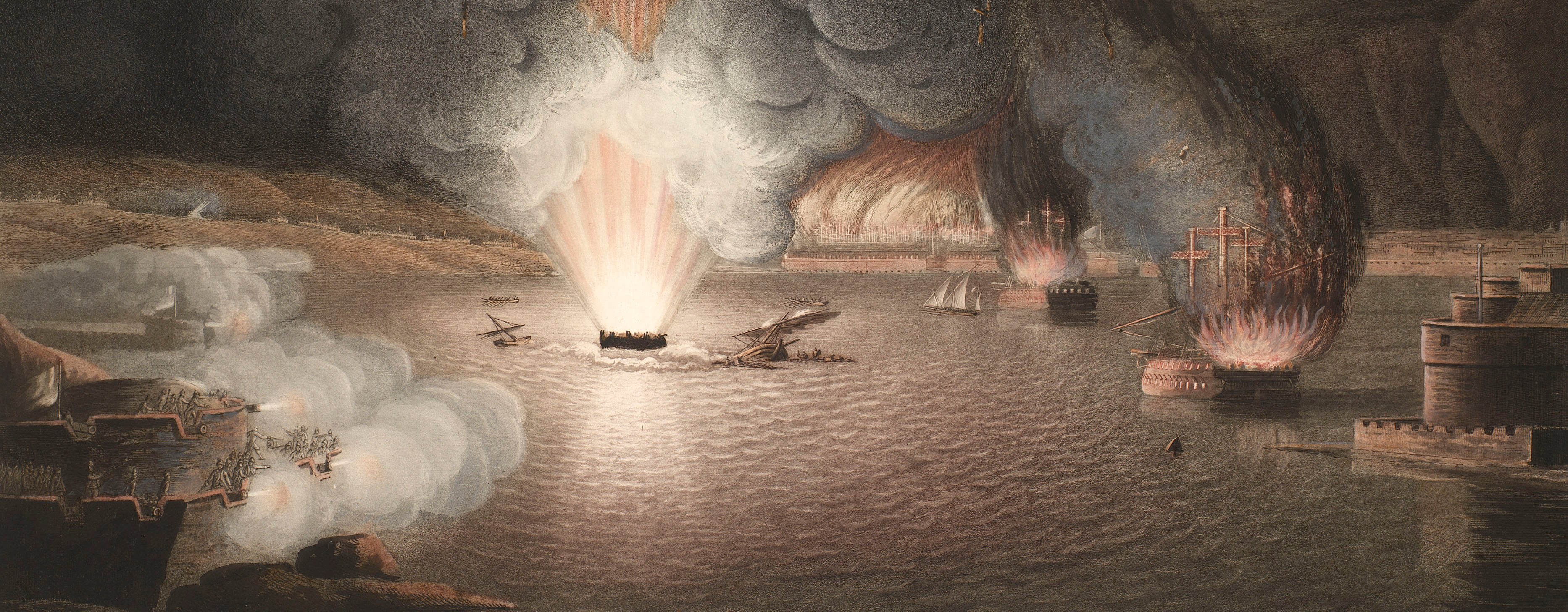
French Revolutionary Wars (1792-1802)
Maps and prints of naval engagements collected by George III during the decade of war
Map of Champagne and Lorraine, 1792 (administrative region of Champagne-Ardenne, France); (administrative region of Lorraine, France)
1793 or laterEtching and engraving; printed on paper; hand-coloured | Scale: 1:530,000 approx. | RCIN 735007.2.a
A map of part of northern France showing the theatre of war in 1792. French Revolutionary Wars (1792-1802): War of the First Coalition (1792-1798). Oriented with north-north-west to top (cardinal points).
Hand-colouring is used to distinguish armies and the boundaries of Austrian and French territory. This map shows the area of the first campaign of the wars, in Northern France, between the French national army and the Combined army of the Prussians, Austrians, and Hessians. The imprint 'chez l'auteur' may refer to the Soeurs Lemay (or le May), 'libraires & marchands d'estampes, rue de Loxum'. A copy of this map exists in the Hampshire Record Office (38M49/A6/19) in the papers of the Rt Hon William Whickham (1761-1840), friend of Lord Grenville who was Foreign Secretary from 1791-1801. Whickham was tasked with setting up a communications network on the Continent during the French Revolutionary Wars. (accessed 31 October 2016).
Anonymous (cartographer) [bottom right, between neatline and platemark:] se trouve à Bruxelles chez l’auteur Rue de Loxum.
Subject(s)
Army-FranceArmy-AustriaArmy-PrussiaWatermark: Horn in crowned shield
Condition: four fold lines; folds rubbed and worn, small tear to centre; 4.3 cm tear to centre of left edge. Verso: brown discolouration
Scale: 1:530,000 approx. Scale bar: Echelle de 10 Lieues [84 mm =].
16.1 x 28.0 cm (neatline)
16.2 x 18.0 cm (image)
16.9 x 29.2 cm (platemark)
19.3 x 30.9 cm (sheet)
Printed title:
CARTE D’UNE PARTIE DE LA LORRAINE / ET DE LA CHAMPAGNE, / ou du Département de la Moselle / THÉATRE DE LA GUERRE. [top left, in irregularly-shaped panel]
Annotations:
George III heading: Champagne and Lorraine 1792.
Other annotations: none.
George III catalogue entry:
Champagne Carte d’une partie de la Lorraine et de la Champagne, ou du Departement de la Moselle, Theatre de la Guerre en 1792. [The same entry appears under the heading Lorraine.]
Subject(s)
Administrative region of Champagne-Ardenne, France
Administrative region of Lorraine, France
Page revisions
6 June 2024
Current version


