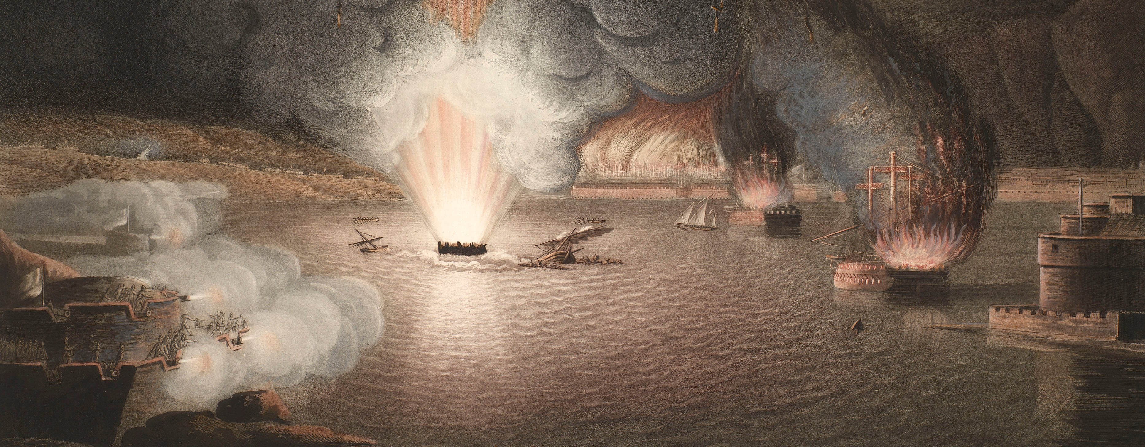
French Revolutionary Wars (1792-1802)
Maps and prints of naval engagements collected by George III during the decade of war
Map of encampment at Cysoing, 1793 (Cysoing, Nord-Pas-de-Calais, France) 50°34'09"N 03°12'58"E
c.1793Pencil, pen, ink and watercolour on blue paper | Scale: 1:40,500 approx. | RCIN 735018.a
This is a detailed topographical map showing the locations of field works, a comprehensive route network, buildings, wooded areas and wet grassland areas, windmills. Relief is shown by brown brushwork. The positions of the encamped regiments are drawn on a small flap of paper which is pasted to the base map in the area north-north-east of Cysoing between Camphin-en-Pévèle and Baisieux. The map covers an area extending from Willem (i.e. Willems, Nord-Pas-de-Calais 50°37'55"N 03°14'18"E) in the north to Templeuve en Pevele (i.e. Templeuve, Nord-Pas-de-Calais 50°31'24"N 03°10'41"E) in the south, and from Sainghin (i.e. Sainghin-en-Mélantois, Nord-Pas-de-Calais 50°35'18"N 03°09'58"E) in the north-west to Bourghelles (Nord-Pas-de-Calais 50°33'54"N 03°14'40"E) in the south-east. The attribution to Richards, Schaeffer, and Wilckens is made on stylistic grounds.
Additional text: [top left, a key, 1-17, to the Hanoverian and Austrian troops:] Renvoi [top right, a key, 1-27, to the Allied troops:] Lager vom 11t Octobr: 1793 / Renvoi.
Condition: no fold lines; heavy brown staining to both sides.
? Schaeffer (active 1793) (cartographer)
? [J.H.] Wilckens (active 1786-93) (cartographer)
? Richards (active 1793) (cartographer)
Subject(s)
Army-FranceArmy-AustriaArmy-GBArmy-HanoverWatermark: IHS [with reversed S]
Mark, stamped: 1071
Condition: no fold lines; heavy brown staining to both sides
Scale: 1:40,500 approx. Scale bar: Maastab von 6000 Schritt [119mm =].
23.5 x 37.9 cm (neatline)
23.8 x 38.3 cm (image)
27.4 x 41.8 cm (sheet)
Manuscript title:
Plan von dem Lager bey Cysoing den 20t Septbr: 1793. [top centre]
Additional text:
[top left, a key, 1-17, to the Hanoverian and Austrian troops:] Renvoi [top right, a key, 1-27, to the Allied troops:] Lager vom 11t Octobr: 1793 / Renvoi.
Annotations:
George III heading: Encampment at Cysoing, 20 Sep. 1793.
Other annotations: none.
George III catalogue entry:
Cysoing Plan von dem Lager bey Cysoing den 20 Sept. 1793. drawn.
Subject(s)
Cysoing, Nord-Pas-de-Calais, France (50°34'09"N 03°12'58"E)
Page revisions
3 November 2024
Current version


