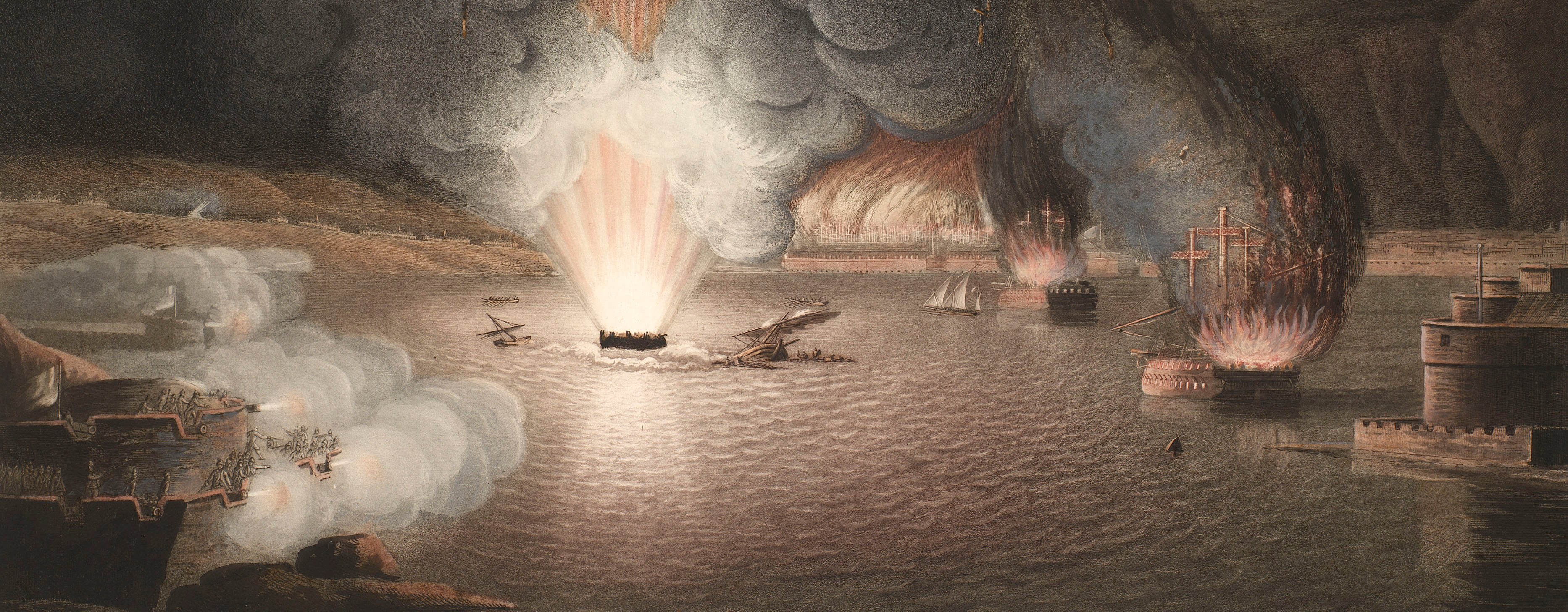
French Revolutionary Wars (1792-1802)
Maps and prints of naval engagements collected by George III during the decade of war
Map of Pirmasens, 1793 (Pirmasens, Rhineland-Palatinate, Germany) 49°12'05"N 07°36'19"E
c.1797Engraving and etching; printed from two copperplates on two sheets of paper | Scale: 1:138,500 approx. | RCIN 735017.a
This is a very detailed topographical map showing roads, many fluvial features with the valleys of rivers and streams distinguished by stippling, and with many settlements and woodland. The continuation between the south and north sheets is marked, on the south sheet (RCIN 735017.a), by extrusions in the top margin. The top sheet (RCIN 735017.b) has a straight bottom margin which has been cut so that it fits perfectly to the south sheet.
The title of this map refers to two special plans of the Battles of Pirmasens and Kaiserslautern which were to be published. The plan of Pirmasens is at RCIN 735017.c. It is clear from the annotation on RCIN 735017.a, and from the old catalogue, that the plan of Kaiserslautern was either missing or had not been acquired. The suggested date of publication date for this two-sheet map of 1797 is taken from the publication date of the plan of Pirmasens, but may be earlier.
The two sheets cover a large geographical area extending from Wolzburg (Rhineland-Palatinate 49°47'00"N 07°05'00"E) in the north-west to Dorf Johannisberg (Johannisberg, Hesse, 50°00'00"N 07°58'58"E), and from Bitche (Lorraine 49°03'00"N 07°25'37"E) in the south-west to Landau (Rhineland-Palatinate 49°12'27"N 08°06'48"E). An area of about 2400 square miles.
Condition: one fold line.
Julius August Reinhold von Grawert (1746-1821) (cartographer) [bottom centre, following on from title:] angefertiget durch I.A.R. von Grawert. / Königlich Preussischen Obristen und General-Quartiermeister-Lieutenant.
Carl Jäck (active 1788-1821) (engraver) [bottom right, below border:] Jäck Sculp.
Watermark: None
Condition: one fold line
Scale: 1:138,500 approx. Scale bar: Maastab von 3 Stunden jede Stunde zu 6000 Schritte [104 mm =].
36.5 x 52.8 cm (neatline)
38.2 x 52.8 cm (image)
[cropped] x 54.6 cm (platemark)
39.8 x 57.1 cm (sheet)
Printed title:
General / CARTE / Zur Eläuterung aller Stellungen und Bewegungen, so auf die beyden / im Jahre 1793 vorgefallenen Schlachten bey PIRMASENS u: KAISERSLAUTERN Bezug haben; / welche beyde Schlachten noch auf zwey besondere Special Plans / ausführlich dargestellt werden. [bottom centre]
Annotations:
George III heading: Plan of the Battle of Pirmasens 14 Sep. 1793; [black pencil, contermporary hand:] Kaiserslautern wanting.
Other annotations: none.
George III catalogue entry:
Pirmasens General Carte zur erlauterung aller Stellungen und Bewegungen so auf die beyden im Jahre 1793 vorgefallenen Schlachten bey Pirmasens und Kaiserslautern bezug haben: durch I.A.R. von Grawert 2 blattern. Plan von der Schlacht welche bey Pirmasens den 14.ten Sept.r 1793 von dem Koniglich Preussischen Feldmarschal Herzog von Braunschweig uber die Franzosiche Vosgen Armée gewonnen worden ist: gestochen von Carl Jack, 1797. (Plan of the Battle of Kaiserslautern wantg).
Subject(s)
Pirmasens, Rhineland-Palatinate, Germany (49°12'05"N 07°36'19"E)
Page revisions
3 November 2024
Current version


