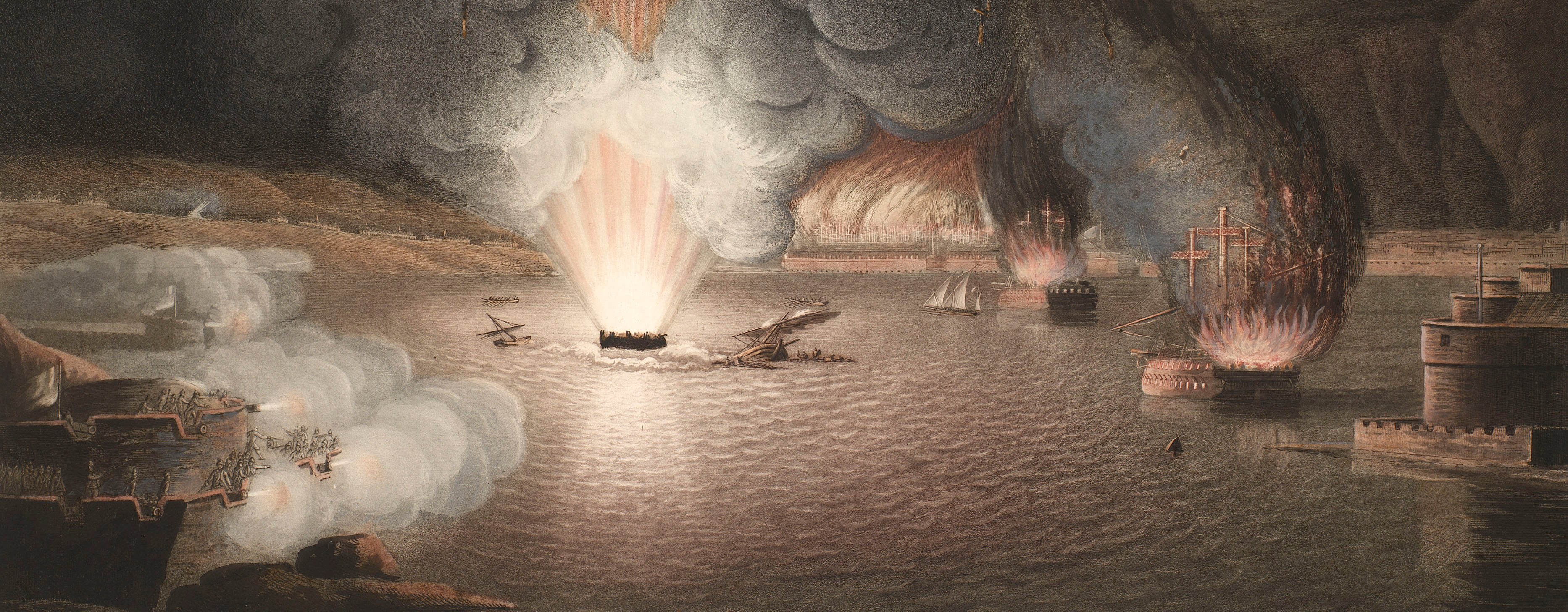
French Revolutionary Wars (1792-1802)
Maps and prints of naval engagements collected by George III during the decade of war
Map of the siege of Kehl, 1796-7 (Kehl, Baden-Württemberg, Germany) 48°34'22"N 07°48'54"E
published 1798Etching with engraving; printed on paper; hand coloured. An engraved flap, printed from a separate copperplate on a separate sheet of paper is stitched to the left margin (RCIN 735045.b). | Scale: 1:16,000 approx. | RCIN 735045.a
The 40,000 strong Austrian army, under the command of Lieutenant Field Marshal Karl Aloys zu Fürstenberg, between the beginning of October 1796 to 9 January 1797, besieged and captured the fortress of Kehl, commanded by General Jean Victor Marie Moreau.
A separate piece of paper (RCIN 735045.b), on which is engraved and hand-coloured a different position for the troops south of Kehl, is stitched to the left margin.
Condition: one fold line.
Christian von Mechel (4 April 1737-11 April 1817) (publisher) [bottom centre, between border and platemark:] Publié en 1798. par Chr: de Mechel Graveur à Basle en Suisse; [bottom right, inside neatline, reversed:] JK?
Austrian military engineers (surveyor) [bottom left, between border and platemark:] Levé sur les lieux et dessiné par les Officiers Autrichiens du Corps du Génie employés a ce Siège.
Kaiser (active 1798) (engraver) [bottom left, inside neatline:] Kaïser sculp
Subject(s)
Army-AustriaArmy-FranceWatermark: Fleur-de-lys in crowned shield suspending [a bell?], the name H BL[O]M below; countermark: BASEL
Condition: one fold line
Scale: 1:16,000 approx. Scale bar: Echelle de 1100 Toises [134 mm =].
47.8 x 68.7 cm (neatline)
50.5 x 68.9 cm (image)
cropped (platemark)
52.9 x 74.4 cm (sheet)
Printed title:
PLAN DETAILLÉ des Attaques et de la Défense de la VILLE et du FORT de KEHL, et du CAMP RETRANCHÉ des François, plus de la LIGNE DE CONTREVALLATION de l'Armée Autrichienne, et de la POSITION de cette Armée assiegeante aux ordres de Son Exce / Mr le COMTE de LATOUR, Général d'Artillerie, sous le Commandement en chef de Mgr L'ARCHIDUC CHARLES, depuis le commencement d'Octobre 1796 jusqu'au 9 Janvier 1797 que les François remirent le Fort et la Ville par Capitulation, à SON ALTESSE ROYALE après 49 jours de tranchée ouverte. [top, above border]
Annotations:
George III heading: Kehl Oct. 1796 – Jan, 1797.
Other annotations: (Recto) none. (Verso) [bottom, right of centre, black pencil, in eighteenth-century hand?:] V3p221-1 V4p159- ; [right of old heading, black pencil, erased:] Oct. 1796 – Jan. 1797; [bottom, right of centre, black pencil, in a modern hand:] CMB Jan '87 [i.e. 1987].
George III catalogue entry:
Kehl Plan detaillé des Attaques et de la Defense de la Ville et du Fort de Kehl, et du Camp retranché des François plus de la Ligne de Contrevallation de l'Armée assiegante aux ordres du Comte de Latour depuis le commencement d'Octobre 1796 jusqu'au 9 Janvier 1797 que les Francois rendirent le Fort et la Ville par capitulation: gravé par Kaiser, chez Ch. de Mechel, 1798. (V. 3 p.221_1. V. 4 p. 159)
Subject(s)
Kehl, Baden-Württemberg, Germany (48°34'22"N 07°48'54"E)
Page revisions
25 May 2024
Current version


