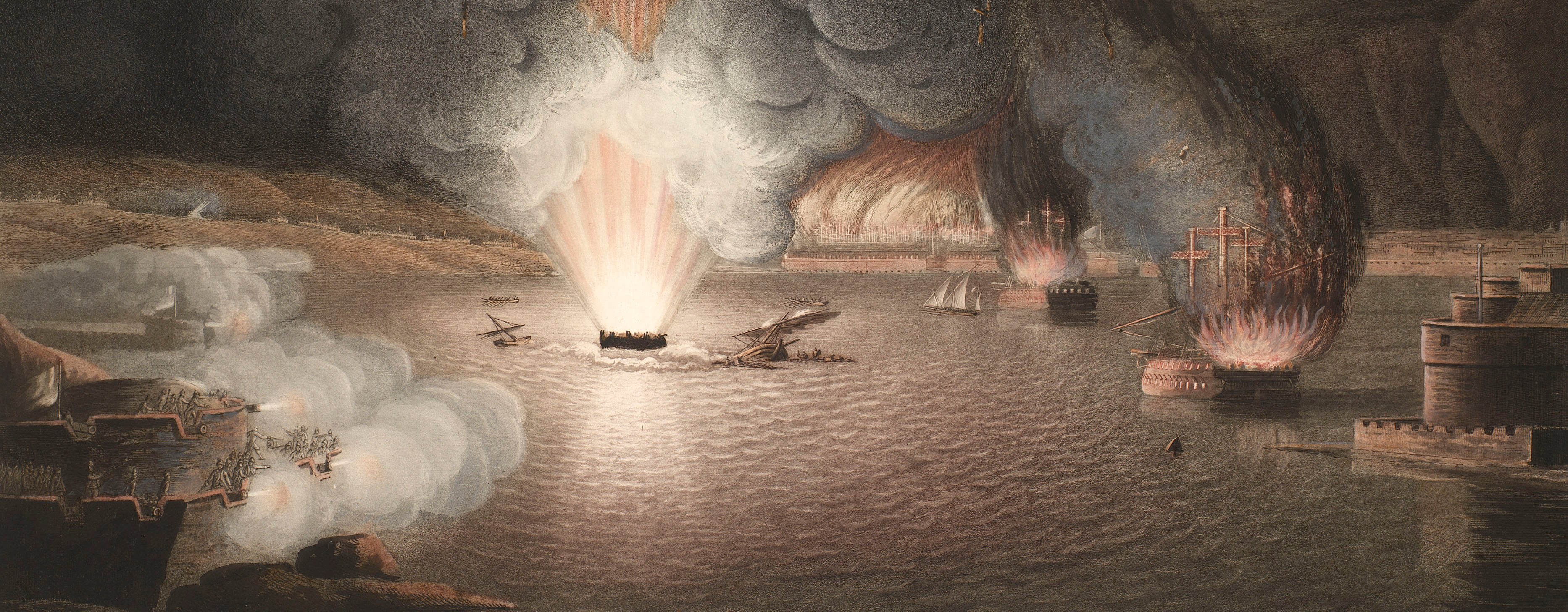
French Revolutionary Wars (1792-1802)
Maps and prints of naval engagements collected by George III during the decade of war
Map of the siege of Mainz, 1793 (Mainz, Rhineland-Palatinate, Germany) 49°59'03"N 08°16'44"E
published 1793Engraving and etching; printed on paper; hand coloured; edged with blue silk | Scale: 1:18,500 approx. | RCIN 735015.a
A very detailed topographical map showing the positions of the Austrian (yellow), Prussian (blue), Hesse-Cassel (lilac), Saxon (green), Hesse-Darmstadt (red) and Pfalz-Bavarian (brown) troops during the siege of Mainz, 14 April-23 July 1793, when Mainz was captured from the French. The allied bombardment resulted in the destruction of many of Mainz's cultural buildings; it was seen by Johann Wolfgang von Goethe who afterwards wrote his 'Belagerung von Mainz' on the basis of his first hand observations of the siege. His account mentions in several places his crossing the 'Schiffbrücken' (bridges made of boats) which can be seen on this plan spanning the rivers Main and Rhine in several places.
Additional text: [top left: a detailed key, a-i, k-z, t-z, to the names of the bastions and other parts of the fortress of Mainz; a key, 1-30, to the work carried on on the trenches, a coloured key to the colours used to distinguish the various Coalition troops, and a summary of the strength of the batteries:] ERKLÆRUNG.
Condition: one fold line; creased; foxing. Verso: surface dirt; brown stains.
Carl Jäck (active 1788-1821) (engraver) [bottom right, between neatline and border:] gestochen von Carl Jäck Berlin 1794.
CJ Humbert (active 1793) (surveyor and draughtsman)
Jaehnick (active 1793) (surveyor) [bottom left, between border and neatline:] gezeichnet v. Humbert - augenom[m]en vom J. Lieut. Jaehnick und Humbert 1793.
Subject(s)
Army-Pfalz-BavariaArmy-AustriaArmy-PrussiaArmy-SaxonyArmy-Hesse CasselArmy-Hesse DarmstadtWatermark: None
Condition: one fold line; creased; foxing. Verso: surface dirt; brown stains
Scale: 1:18,500 approx. Scale bar: Maasstab von einer halben Meile [215 mm =] 5000 Schritte.
53.7 x 86.5 cm (neatline)
55.2 x 87.9 cm (image)
57.8 cm x [trimmed] (platemark)
58.4 x 91.2 cm (sheet)
Printed title:
PLAN / der Belagerung / von / MAYNZ / nebst den vorhergegangenen Positionen / bey / Wickert und Hochheim / im Jahr 1793. / Seiner Königl. Majestät v. Preussen / Allerunterthänigst gewidmet / von C.J. Humbert / Königl. Preuss. Ing. Lieutenant. [bottom left]
Additional text:
[top left: a detailed key, a-i, k-z, t-z, to the names of the bastions and other parts of the fortress of Mainz; a key, 1-30, to the work carried on on the trenches, a coloured key to the colours used to distinguish the various Coalition troops, and a summary of the strength of the batteries:] ERKLÆRUNG.
Annotations:
George III heading: Mentz, 1793.
Other annotations: (Recto) none. (Verso) [bottom right, right of centre, black pencil:] 1793.
George III catalogue entry:
Mentz Plan der Belagerung von Maynz, nebst den vorhergegangenen Positionen bey Wickert und Hochheim im Jahr 1793: von C.I. Humbert.
Subject(s)
Mainz, Rhineland-Palatinate, Germany (49°59'03"N 08°16'44"E)
Page revisions
3 November 2024
Current version


