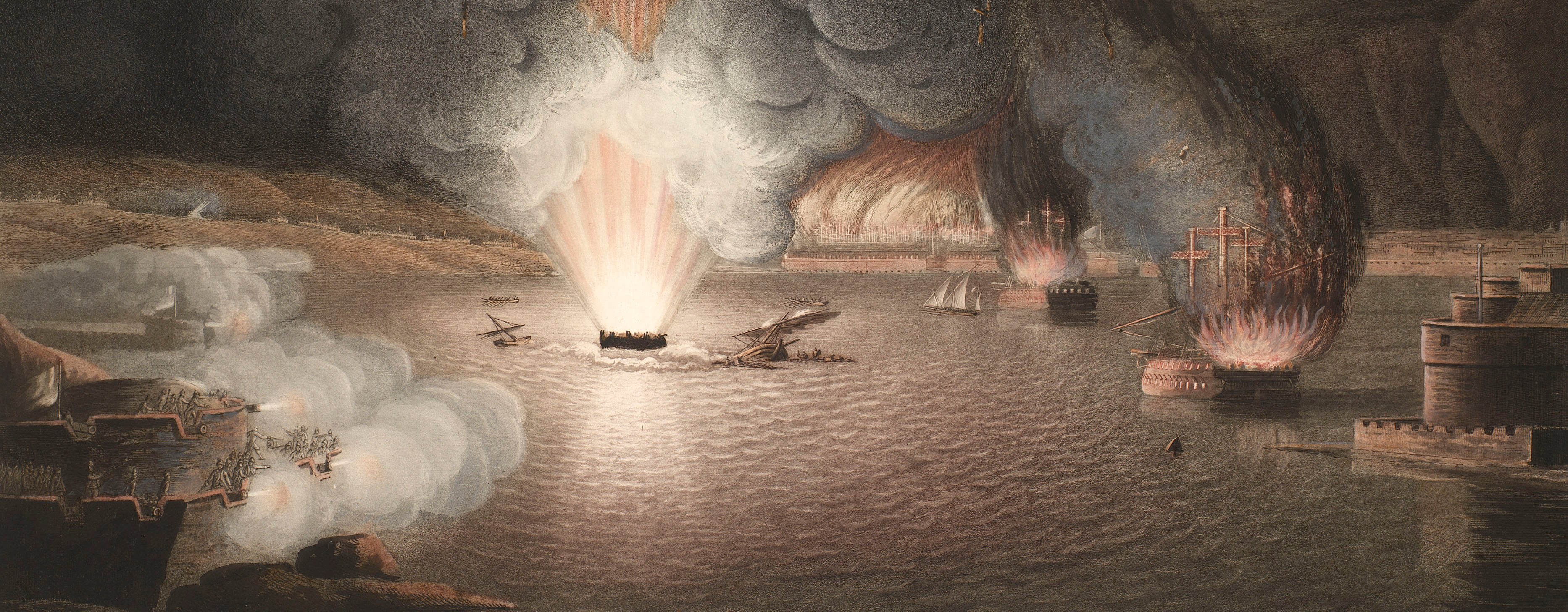
French Revolutionary Wars (1792-1802)
Maps and prints of naval engagements collected by George III during the decade of war
Map of Toulon, 1793 (Toulon, Provence-Alpes-Côte d’Azur) 43°07'00"N 05°56'00"E
1794Etching and engraving; printed on paper; hand coloured | Scale: 1:45,500 approx. | RCIN 735019.a
Toulon was the French Navy's principal Mediterranean port; it was occupied by the British fleet, under the command of Admiral Lord Hood. By December 1793 the French Revolutionary forces, to whom was attached Napoleon Bonaparte as a colonel of artillery, had surrounded the port and attacked it. On his arrival to join the British fleet, Sydney Smith (later Admiral Sir Sydney Smith) was ordered to burn as many French ships and stores as possible. The ships which he succeeded in burning are listed in the margin of this map. The detail of the map is probably based on the French Carte de Cassini for this area.
Additional text: [bottom margin, a list of the names and number of guns of the French ships which were burnt on the night of 18 December 1793; a key, A-F, to other ships, the place where troops were landed, and the old and new harbours; a list of the names and number of guns of the French ships which remained at Toulon in December 1793; a note that the posts of the combined troops are marked in red, and those of the Carmagnols in black.]
Condition: one fold line; formerly folded in half, inwards, resulting in offsetting. Verso: bottom, right of centre, waterstained patch from the removal of a former library label.
William Faden (1 July 1749-21 March 1836) (publisher) [bottom centre, below text: Published for William Faden, Geographer to the King and to H.R.H. the Prince of Wales, Charing Cross, May 1.st 1794.
Thomas Foot (active 1790-1825) (engraver) [bottom centre, in small rectangular panel on border:] Engraved by THO.S FOOT.
Subject(s)
Army-GBArmy-FranceWatermark: None
Condition: one fold line; formerly folded in half, inwards, resulting in offsetting. Verso: bottom, right of centre, waterstained patch from the removal of a former library label
Scale: 1:45,500 approx. Scale bars: French Toises [130 mm =] 3000; British Statute Miles [142 mm =] 4.
40.5 x 54.7 cm (neatline)
44.0 x 54.7 cm (image)
46.2 x 57.1 cm (platemark)
50.5 x 63.5 cm (sheet)
Printed title:
GEOMETRICAL SURVEY OF THE ENVIRONS OF TOULON. [top, in rectangular panel across top of map]
Additional text:
[bottom margin, a list of the names and number of guns of the French ships which were burnt on the night of 18 December 1793; a key, A-F, to other ships, the place where troops were landed, and the old and new harbours; a list of the names and number of guns of the French ships which remained at Toulon in December 1793; a note that the posts of the combined troops are marked in red, and those of the Carmagnols in black.]
Annotations:
George III heading: Toulon 18 Dec. 1793.
Other annotations: none.
George III catalogue entry:
Toulon Geometrical Survey of the Environs of Toulon relative to the Expeditions under the command of Sir Sidney Smith in Dec.r 1793: published by Faden 1794.
Subject(s)
Toulon, Provence-Alpes-Côte d’Azur (43°07'00"N 05°56'00"E)
Page revisions
25 May 2024
Current version


