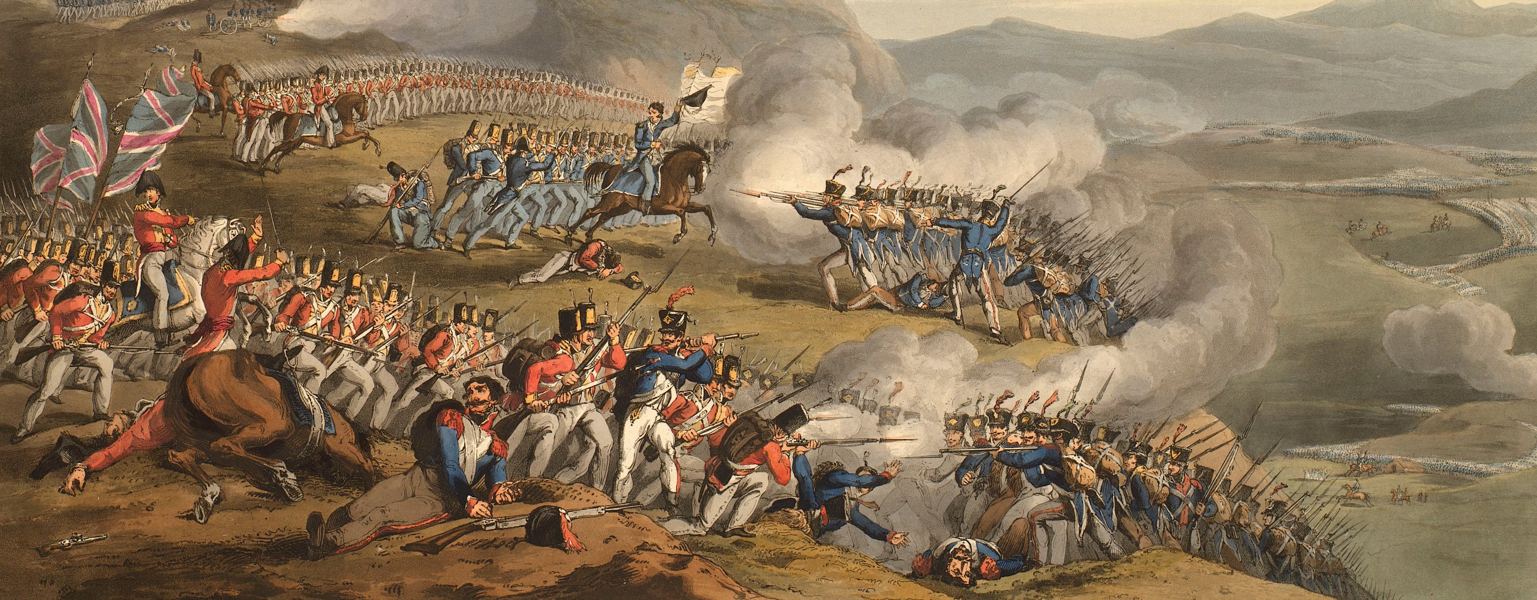
Views of naval engagements and maps of battles
Map of the Battle of Salamanca, 1812 (Salamanca, Castille and Léon, Spain) 40°58'00"N 05°39'00"W
c.1812Etching and engraving; printed on paper; hand coloured | Scale: 1:189,334 approx. | RCIN 735176
The Battle of Salamanca was won by the British and allies but at the cost of the life of General John Gaspard le Marchant (1766-1812), the founder of the Royal Military College at High Wycombe, and a favourite of George III.
Additional text: [top right, in rectangular panel, a key, a-i, k-t, to the positions of the British and French troops:] REFERENCE.
Condition: no fold lines, small tear to top right of map.
Samuel John Neele (1758-1824) (engraver) [bottom right, below edge of border:] Neele sc. Strand.
Subject(s)
Army-GBArmy-FranceArmy-SpainArmy-PortugalWatermark: J WHATMAN 1810
Condition: no fold lines, small tear to top right of map
Scale: 1:189,334 approx. Scale bar: British Miles [34 mm =] 4.
16.6 x 24.4 cm (neatline)
17.7 x 24.8 cm (image)
18.4 x 26.1 cm (platemark)
22.1 x 32.6 cm (sheet)
Printed title:
ENVIRONS OF SALAMANCA. [top, above map border]
Additional text:
[top right, in rectangular panel, a key, a-i, k-t, to the positions of the British and French troops:] REFERENCE.
Annotations:
George III heading: Battle of Salamanca 22 July 1812.
Other annotations: none.
George III catalogue entry:
Salamanca A Plan of the Battle of Salamanca, 22.d July 1812, engraved by Neele.
Subject(s)
Salamanca, Castille and Léon, Spain (40°58'00"N 05°39'00"W)
Page revisions
3 November 2024
Current version


