Contemporary maps of 10 sixteenth-century wars
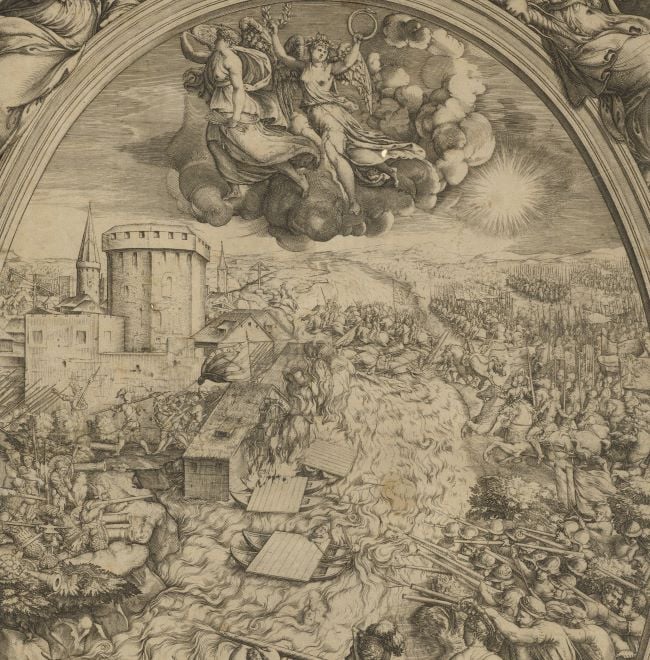
View of the siege of Civitella, 1557 (Civitella del Tronto, Abruzzi, Italy) 42°46ʹ23ʺN 13°406ʹ35ʺE
1557 or laterEtching with engraving; printed on paper; not mounted but with the double ink framing lines of Mount Type A | 30.0 x 38.3 cm (image, neatline and platemark) | RCIN 721022
A middle oblique view of the unsuccessful siege by the French of Spanish-held Civitella in May 1557. The last Valois-Habsburg War (1547-1559): French invasion of southern Italy (1556-1557). Oriented with north to top (Tramontana).
The houses of Civitella are engraved in perspective; the walls of the town have suffered considerable damage but are not yet breached; a new fort, near the headquarters of the Duc de Guise, bottom right, has been built ‘per batter et assediar’ the town.
The plate shows signs of former use. A blank panel, bottom right, shows traces of an earlier engraved text that appears to have been erased; detail from an earlier image has been imperfectly erased, and residual features, such as faint outlines of cannon and soldiers can be identified. Some offsetting on verso: details are indistinct.
A very similar image, but lacking the blank text panel, and with slightly different detail, was published in Giulio Ballino’s DE DISEGNI / Delle piu illusti città, & fortezze / del mondo by Zaltieri, Bologna, 1569, ff.24-25. Biblioteca Nazionale Marciana – Venezia – IT – VE0049 (74.d.89) GEO0026453. An otherwise identical print, showing text in the panel, is in the University Library of Salzburg.
Anonymous (cartographer)
Subject(s)
Army-Duke of GuiseWatermark: Indistinct: a few letters
Condition: one fold line; no gilt edges
30.0 x 38.3 cm (image, neatline and platemark)
39.3 x 50.5 cm (sheet)
Printed title:
CIVITELLA [engraved above the representation of the town]
Annotations:
George III heading: Civitella besieged by the Duke of Guise 1557.
Other annotations: (Recto) [top left, red pencil, erased, removing some of the surface of the paper:] besieged by the French [?]7; [left edge, black pencil, erased: the old heading]; [bottom right, black pencil, erased:] 1557. (Verso) [top left, red pencil:] 1/17.
George III catalogue entry:
Civitella A Representation of the Siege of Civitella, taken by the Duke of Guise in 1557.
Subject(s)
Civitella del Tronto, Abruzzi, Italy (42°46ʹ23ʺN 13°406ʹ35ʺE)
Bibliographic reference(s)
This print is attributed to Lafreri in M. Destombes, ‘Les cartes de Lafreri et assimilées 1532-1586 du Département des Estampes de la Biblioteque Nationale’, Nouvelles de L'Estampe No5, Paris 1970, no.69
M. McDonald, The Print Collection of Cassiano dal Pozzo. Part II, Architecture, Topography and Military Maps, 3 vols, London 2019, cat. no. 2655
'Mary: May 1557', Calendar of State Papers Foreign, Mary: 1553-1558 (1861), pp. 300-312. Date accessed: 07 June 2014
R.V. Tooley, ‘Maps in Italian atlases of the sixteenth century, being a comparative list of the Italian maps issued by Lafreri, Forlani, Duchetti, Bertelli and others, found in atlases’, Imago Mundi III, 1939, pp. 12-47, no.154?
Page revisions
25 May 2024
Current version


