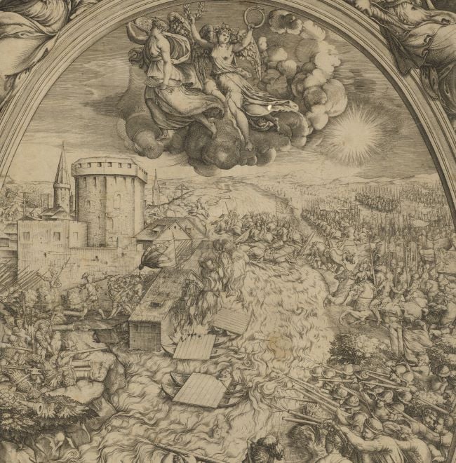
Contemporary maps of 10 sixteenth-century wars
Map of the siege of Paris, 1589 (Paris, Île-de-France, France) 48°51ʹ12ʺN 02°20ʹ55ʺE
dated 1591Etching and engraving; printed on paper; mounted on paper (Mount Type A) | 40.5 x 55.3 cm (image and sheet) | RCIN 721080
A map of the siege of Paris, held by the Catholic League, by Protestant Henry IV of France (13 December 1553-14 May 1610), and Huguenot troops, May to September 1590, resulting in a Catholic and Spanish victory when the city was relieved by the Spanish army, commanded by Alessandro Farnese, Duke of Parma and Piacenza (27 August 1545-3 December 1592; Governor of the Spanish Netherlands 1578-1592). French Wars of Religion (1562-1598): The ‘War of the Three Henries’ (1585-1598). Oriented with west (PONENTE) to top (cardinal points are written to the four edges; sixteen-point compass rose).
The coat of arms of the Pigafetta family of Vicenza, with the motto ‘Il n’est rose sans espine’ is at the bottom of the title panel. The coat of arms of Paris, with that of France above, is br. The map extends from Le Havre (49°29ʹ37ʺN 00°06ʹ27ʺE) in the north-west to Sanlis (Senlis 49°12ʹ00ʺN 02°35ʹ00ʺE) in the north-east, to Sans (Sens 48°12ʹ00ʺN 03°17ʹ00ʺE) in the south-east.
This map was published in Rome in 1591 by Grassi in partnership with Giacomo Ruffellini (Witcombe, 2004) in Filippo Pigafetta’s RELATIONE / DELLl’ASSEDIO / DI PARIGI, Col Dissegno di quella Città, / e de’luoghi circonuicini and dedicated to Pope Gregory XIV. It was also published in Bologna by a Giovanni Rossi in the same year but this printing appears to lack the map (a copy of the book is in the Foreign and Commonwealth Office. In his dedication, Pigafetta states that it will be apparent that the scales for the surrounding country, places, rivers, bridges, etc. do not match that for Paris itself, but each part of the map is in proportion, so that the surrounding countryside is drawn to a consistent scale (one league equalling two and a half miles but no unit of measurement given) and also the internal details of Paris are exactly represented.
This image has been printed from a worn, scratched, and altered plate. Previous lettering has been imperfectly erased in the text area br and in the table of distances, top left.
The scale is not stated; Paris is drawn to a larger scale than the surrounding country.
Natale Bonifacio da Sebenico (1538-92) (engraver) [below title panel:] In Roma 1591 Natal Bonifatio da Sibenicco Fece.
Bartolomeo Grassi (active 1582-1600) (printer) [bottom right:] Appresso Bartolomio Grassi.
Watermark: None visible
Condition: one fold line. Mount cropped to edge of image, but remains of Mount Type A are visible on the recto and verso; no gilt edges; surface is worn and rubbed, old ink marks on verso and surface dirt
Scale: not stated
40.5 x 55.3 cm (image and sheet)
Printed title:
Alla Sta. Di N.S. Gregorio P P. XIIII. / L’assedio di Parigi malageuolm.te s’intende / dalla scrittura sola senza il sito di lei, & del’ / territorio circonstante, doue tentossi d’occuparla / et furono chiusi li passi per acqua, et per terra. / Onde io rappresento à V.B. in dissegno la figura / loro. talche inim’ aprir d’occhio ella scorga tut / ta quella contrada insieme. Ma perciochela / superfitie della carta non comporta, che le / città, e le fiumane e le terre, e li ponti siano / posti inproportionata di stanza, e misura, se / condo l’arte ho supplito notando le lontanan / ze de luoghi rammemorati nel fatto, contando / le leghe per due miglia e mezo l’una, e anco / meno d’intorno à Parigi, che propriamente / Francia si dice / Humilisso. Ser. F. Pigafetta. [top left in an ornate cartouche with classical pediment supported by two caryatids, with the coat of arms of Pope Gregory XIV, with, above the escutcheon, the papal tiara and two keys]
Additional text:
[top left, below title: a list of places with their distances from Paris]; [bottom right, in an ornate cartouche surmounted by the coat of arms of Paris, above which is the coat of arms of France:] Tauola di luochi piú notabili che serue alla Città de Parigi, riportati alli suoi luochi per L’alfabetto, è numerj.
George III catalogue entry:
Paris A Plan of Paris besieged by Henry IV in 1589, by F. Pigafetta, engraved by Natal Bonifacio, 1591: published by Bart. Grassi.
Subject(s)
Paris, Île-de-France, France (48°51ʹ12ʺN 02°20ʹ55ʺE)
Bibliographic reference(s)
C.L.C.E. Witcombe, Copyright in the Renaissance: prints and the Privilegio in sixteenth-century Venice and Rome, Leiden 2004, p. 147
M. McDonald, The Print Collection of Cassiano dal Pozzo. Part II, Architecture, Topography and Military Maps, 3 vols, London 2019, cat. no. 2726
Page revisions
23 May 2024
Current version


