The wars of 1735–9, 1768–74 and 1787–92
Map of the Battle of Kagul, 1770 (Cahul, Raionul Cahul, Moldova) 45°54'27"N 28°11'40"E
1770 or laterEtching and engraving; printed on paper | Scale: 1:21,200 approx. | RCIN 733078
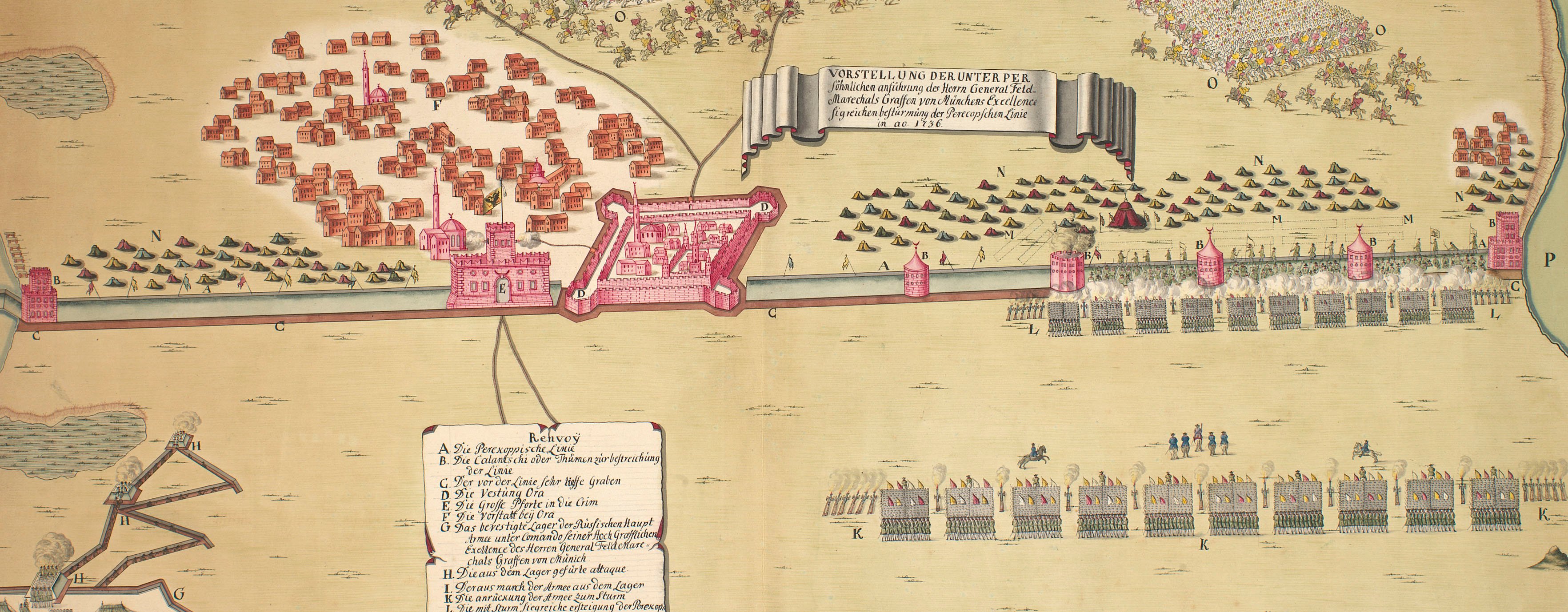
This map shows how the Russian army was deployed into rectangular formations during the course of the action which saw a Russian force of about 40,000 mean defeat the Turks with about 155,000 men. With the involvement of about a quarter of a million troops, this was one of the largest land battles of the eighteenth century.
Condition: one fold line; slight surface dirt on both sides.
Anonymous (draughtsman)
Subject(s)
Army-RussiaArmy-TurkeyWatermark: Lily in crowned shield suspending a bell or beehive, the name C & I HONIG below; countermark: IV
Condition: one fold line; slight surface dirt on both sides
Scale: 1:21,200 approx. Scale bar: Faden [151 mm =] 3 Werste.
45.5 x 67.3 cm (neatline)
46.4 x 67.9 cm (image)
48.1 x 70.2 cm (platemark)
50.9 x 72.5 cm (sheet)
Printed title:
Планъ движенїи атаки и совершенной … // Plan der Schlacht und des vollkommenen Sieges, / den die Armee Ihro Kayserlichen Maiestæt über die / vom Grossvizier selbst angefürte Turckische Armee / in Bessarabien am Fluss Kagul den 21. Jul / 1770 erfochten hat. [top right, in simple cartouche designed as a scroll, in Russian and German]
Annotations:
George III heading: Battle of the Kagul 21 July 1770.
Other annotations: (Recto) none. (Verso) [bottom, right of centre, black pencil:] XVII/[?] 4; [bottom, right of centre, black pencil, erased:] Battle of the Kagul 21 July 1770; [top, right of centre, black pencil:] Kagul.
George III catalogue entry:
Kagul Plan der Schlacht und des vollkommenen Sieges den die Armee Ihro Kayserlichen Majestæt uber die vom Grossvizier selbst angefurte Turkische Armee / in Bessarabien am Fluss Kagul den 21 Jul. 1770 [i.e. 1 August] erfochten hat.
Subject(s)
Cahul, Raionul Cahul, Moldova (45°54'27"N 28°11'40"E)
Page revisions
3 November 2024
Current version


