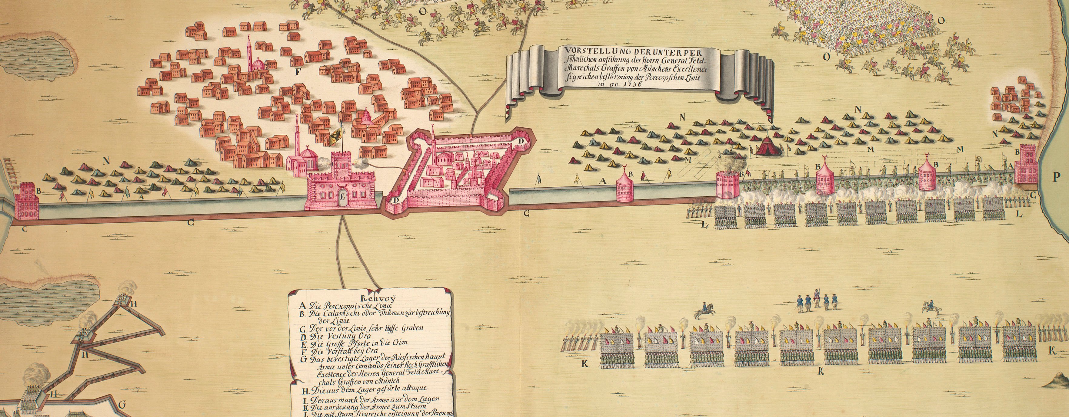
The wars of 1735–9, 1768–74 and 1787–92
Map of Schabatz, 1788 (Šabac, Central Serbia, Serbia) 44°44'48"N 19°41'24"E
c.1790Etched map with letterpress text printed on the same sheet of paper; hand-coloured | Scale: 1:16,666 approx. | RCIN 734104.3.f
Johann Thomas von Trattnern (1717-98) (publisher) [bottom right, below edge of border:] Wien bei T.E v’ Trattnern K.K. Buch; [bottom right, below letterpress text:] CHEZ JEAN THOM. Nobl. de TRATTNERN, Impr. et Libr. de la Cour.
Subject(s)
Army-TurkeyArmy-AustriaWatermark: Cropped; fleur-de-lys in crowned shield
Condition: flat, no fold lines
Scale: 1:16,666 approx. Scale bars: Masstab [47 mm =] 500 Klaft; [48 mm =] 1000 Schritte.
17.7 x 22.4 cm (neatline)
23.2 x 22.7 cm (image)
20.2 x 26.1 cm (platemark)
26.7 x 36.0 cm (sheet)
Printed title:
PLAN / der / am 24=ten April 1788 eroberten / Vestung / SCHABATZ / Türkisch [Turkish characters] Bukiurtelen. [left, in rectangular panel, scrolled top and bottom}
Printed title:
N:o VI. [top right, above edge of border]
Additional text:
[left, below title, in title panel, a key, a-i, k-m, to the geographical features and different stages of the action. Bottom, below map, in French, letterpress, the same key:] Plan de la forteresse de Schabatz, (nommée chez les turcs Bukurtelek,) prise d’assaut le 24 Avril 1788.
Annotations:
None
George III catalogue entry:
Turky Fifteen Plans of the Operations of the War in Turky between the Russians and Austrians and the Turks, from the 1.st of Oct.r 1787 to the 20.th of Dec.r 1788: by T.E. v. Trattnern.
Subject(s)
Šabac, Central Serbia, Serbia (44°44'48"N 19°41'24"E)
Page revisions
4 June 2024
Current version


