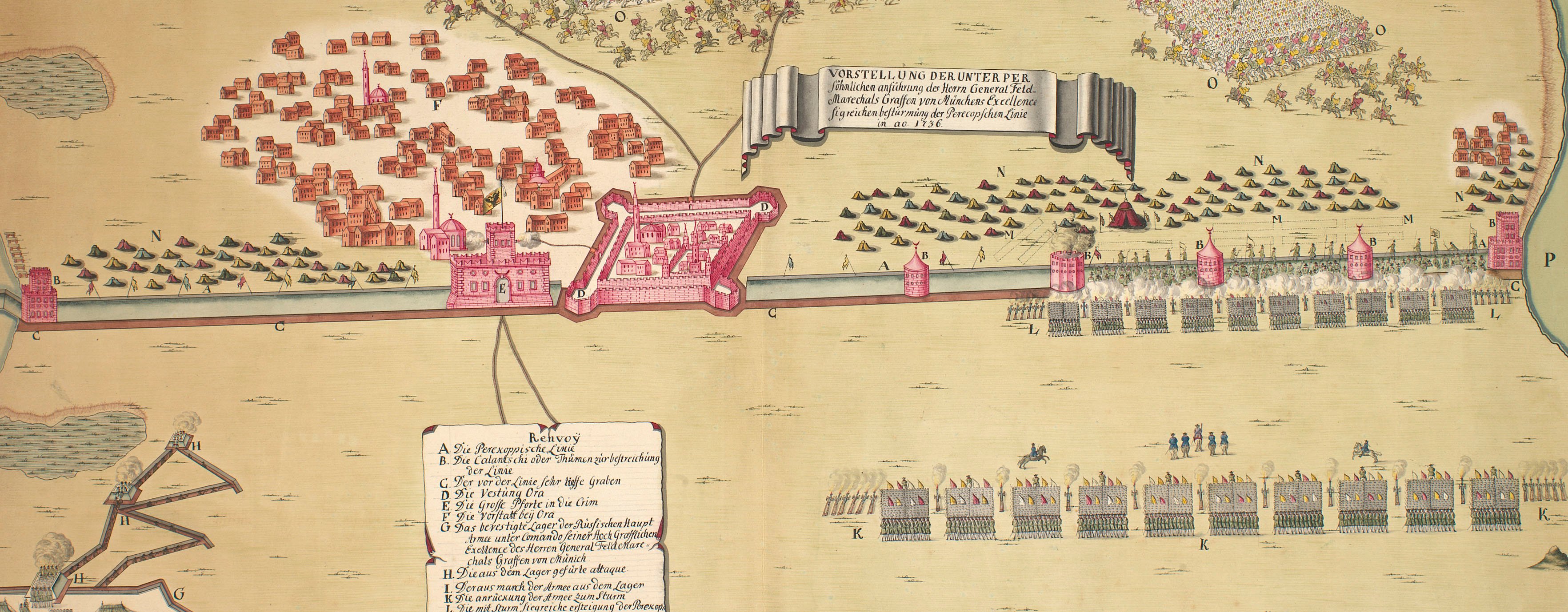
The wars of 1735–9, 1768–74 and 1787–92
Map of the Battle of Chesma, 1770 (Çeşme, Turkey) 38°19'22"N 26°18'23"E
c.1770 or laterEtching and engraving; printed on paper | Scale: 1:32,700 approx. | RCIN 733075.c
This is one of four plans of the battle (see also RCINs 733075.a, b and d). A letterpress description of the action, which accompanied the plans, is at RCIN 733075.e.
Additional text: [top left, below titles, in title cartouche, a key, a-i, k-m, to the unnamed Russian and Turkish ships, batteries, and Turkish camp.
These naval prints and maps, with the accompanying text, were formerly kept in a rough buff rag folder, 51.7 x 31.7 cm, on the front of which is written the old heading, and black pencil notes in a modern hand: '[UL Naval N1 should have 75b & d but kept here for consistency] (a to e CMB Jan 87).' This note refers to the former practice of withdrawing strictly non-map material, such as views, from the military map collection and placing them in other collections of themed prints such as naval prints and historical prints.
Condition: one fold line; creased.
Anonymous (draughtsman)
Alexei Grigorevitch, Count Orlov (1737-1808) (publisher) [below French text, in title cartouche:] Selon le dessein / approuvé paz. S.E.M.r le Comte Orlow.
Subject(s)
Navy-RussiaNavy-TurkeyWatermark: Strasburg bend and lily, the letters C & I H below; countermark: C & I HONIG
Condition: one fold line; creased
Scale: 1:32,700 approx. Scale bar: Echelle de Miles d'Italie 3 [170 mm =].
35.6 x 48.9 cm (neatline)
36.0 x 49.3 cm (image)
38.1 x 51.4 cm (platemark)
41.5 x 55.3 cm (sheet)
Printed title:
ИСТРЕБЛЕНІЕ ОТТОМАНСКАГО ФЛОТА / РОССІЙСКОЮ ЕСКАДРОЮ ПОДЪ ПРЕДВОДИТЕЛЬ- / СТВОМЪ ЕГО СІЯТЕЛЬСТВА ГРАФА АЛЕКСѢЯ / ГРИГОРЬЕВИЧА ОРЛОВА вЪ ЧЕСМЕНСКОЙ ГАВАНИ. / бъ ночи на 26/7 ІЮНЯ / ІЮЛЯ 1770. // LA DESTRUCTION DE LA FLOTTE OTTOMANE / PAR L’ESCADRE RUSSE / SOUS LES ORDRES / DE S.E.M.r LE COMTE ORLOW / Dans le Port de Chisme / la Nuit du 7me Juillet 1770. [top left, in cartouche designed as a scroll, in Russian and French]
Additional text:
[top left, below titles, in title cartouche, a key, a-i, k-m, to the unnamed Russian and Turkish ships, batteries, and Turkish camp.
Annotations:
George III heading: Naval Engagement in the Bay of Chisme 7 July 1770.
Other annotations: none.
George III catalogue entry:
Chisme Bay Plan and View of the Naval Engagement between the Russian Fleet commanded by Count Orlow, and the Turkish Fleet, on the 5th of July: and a Plan and View of the Destruction of the Turkish Fleet by the Russians in the Bay of Chisme on the 7th of July 1770: with a Description. [The same entry appears under the heading Naval Engagement.]
Subject(s)
Çeşme, Turkey (38°19'22"N 26°18'23"E)
Page revisions
3 November 2024
Current version


