The wars of 1735–9, 1768–74 and 1787–92
Map of Turkey and Balkans, 1738
1738Engraving and some etching; printed on paper; hand-coloured | Scale: 1:1,900,000 approx. | RCIN 728015
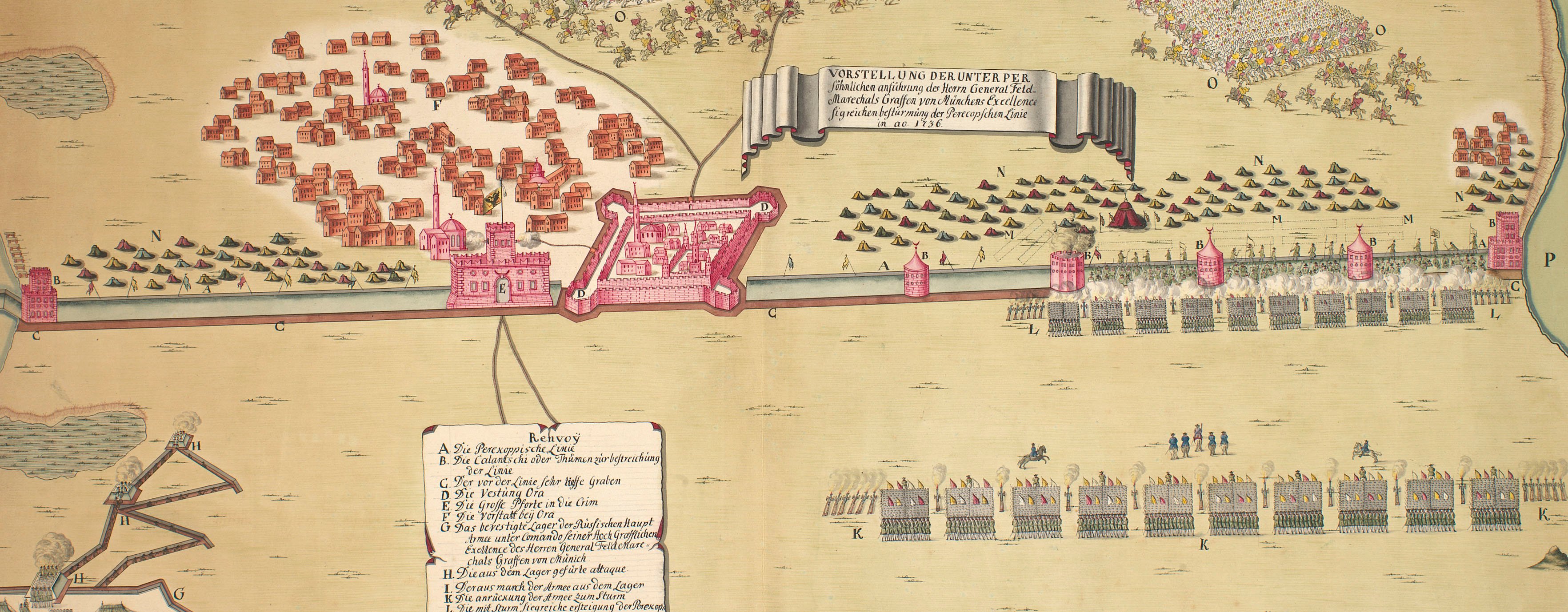
This map shows the principal rivers, roads, and fortified towns of parts of Albania, Anatolia, Bosnia, Bulgaria, the Crimea, Dalmatia, Hungary, Macedonia, Moldavia, Poland, Romania, Servia and Slavonia as well as the march of the Russian army to Ochakov.
The date of publication is provided by an advertisement in the Amsterdamsche courant of October 9th and 14th 1738 for the Dutch copy of this map at RCIN 728016 (Van der Krogt, 1985, adverts 758 and 759).
Condition: one fold line. Verso: water-stained patch from the removal of Cumberland's cipher label.
Russian Academy of Sciences, St. Petersburg (publisher) [top left, below title, in title cartouche:] Excus. in Academia Scienti - / -arum Petropolitana.
Subject(s)
Army-RussiaWatermark: A large anchor
Condition: one fold line. Verso: water-stained patch from the removal of Cumberland's cipher label
Scale: 1:1,900,000 approx. Scale bars: Scala Werstarum Ruthenicarum [57 mm = 104½]; Scala Miliariorum Germanicorum [58 mm = 15].
45.8 x 64.1 cm (neatline)
48.0 x 66.3 cm (image)
51.0 x 70.1 cm (platemark)
51.2 x 70.8 cm (sheet)
Printed title:
THEATRUM / BELLI / ad / Borysthenem / Tyram / & / Danubium / Fluvios / gesti / A=o MDCCXXXVIII. [top left, in rococo cartouche]
Annotations:
George III heading: Turky 1738.
Other annotations: (Recto) none. (Verso) [top right, black pencil, indistinct markings and the figure ‘3’]; [top right, black pencil:] 1738; [bottom right, black pencil:] 12; [bottom, left of centre, black pencil:] Borysthenes and Danubio, 1738; [bottom centre, black pencil:] 22; [right, centre, red pencil:] 22.
George III catalogue entry:
Turky Theatrum Belli ad Borysthenem, Tyram et Danubium Fluvios gesti, 1738: excusus in Academia Scientiarum Petropolitana.
Subject(s)
Hungary
Romania
Poland
Balkans
Russia
Turkey
Page revisions
3 November 2024
Current version


