The wars of 1735–9, 1768–74 and 1787–92
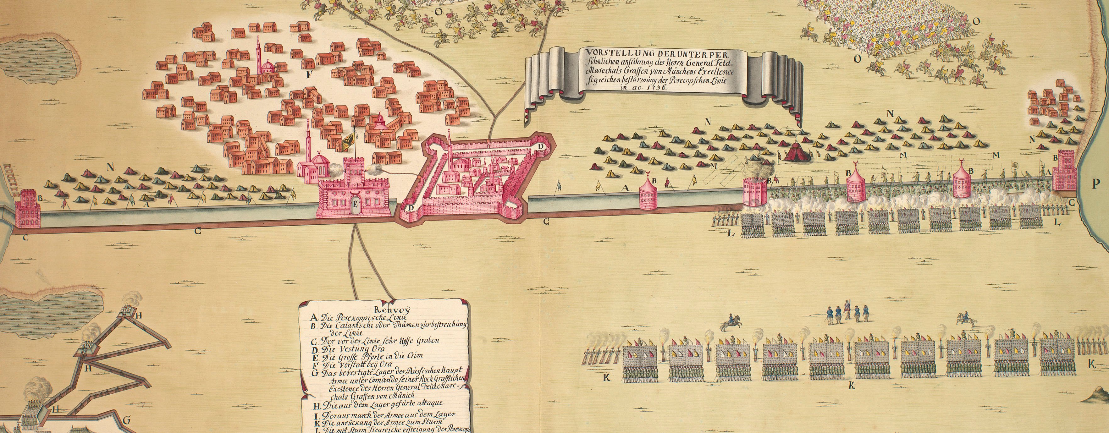
Plan of Ochakov, 1737 (Ochakiv, Mykolayivs'ka Oblast, Ukraine) 46°36'46"N 31°32'59"E
1737 or laterPencil, ink and watercolour on paper | Scale: 1:1,000 approx. | RCIN 728013
? OC de Marin (active 1736-41) (draughtsman)
Subject(s)
Army-RussiaNavy-RussiaNavy-TurkeyWatermark: Fleur-de-lys
Mark, stamped: 260
Condition: one fold line
Scale: 1:1,000 approx. Scale bar: Maastab von 30 Faden [49 mm = 30].
44.1 x 64.6 cm (neatline)
45.3 x 65.8 cm (image)
48.5 x 68.9 cm (sheet)
Manuscript title:
PLAN DER VESTUNG OTZAKOFF / wie solche nach der eroberung im Octobre 1737 / würcklich befunden. [top centre, in cartouche representing a scroll]
Additional text:
Renvoy. [top right, in a cartouche representing a torn sheet of paper pinned to a board, a key, A-I, K-U, W, X, to the key features of the fortifications, and, a-f, to the gates of the town:]
Annotations:
George III heading: Otchakov 15-30 Oct.r 1737.
Other annotations: (Recto) none. (Verso) [bottom, right of centre, red pencil:] 6/80; [bottom, right of centre, black pencil, erased:] VIII/[13]; [top, left of centre, red pencil:] 6/80.
George III catalogue entry:
Otchakov Plan der Vestung Otzakoff wie solche nach der oeroberung im October 1737 wurklich befunden. drawn.
Subject(s)
Ochakiv, Mykolayivs'ka Oblast, Ukraine (46°36'46"N 31°32'59"E)
Page revisions
23 May 2024
Current version


