The wars of 1735–9, 1768–74 and 1787–92
Plan of Ochakov, 1737 (Ochakiv, Mykolayivs'ka Oblast, Ukraine) 46°36'46"N 31°32'59"E
1737 or laterPencil, ink and watercolour on paper | Scale: 1:4,000 approx. | RCIN 728012
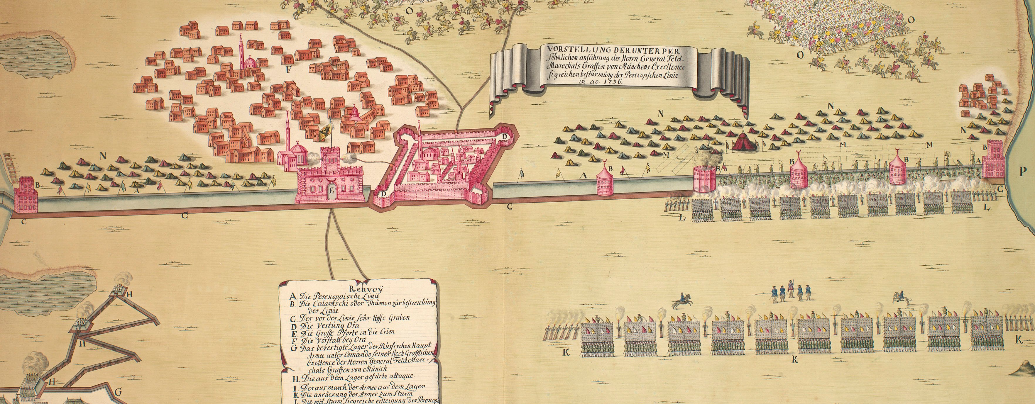
The attribution to O.C. de Marin is made on stylistic grounds. The Russian army had successfully besieged Ochakov in July 1737 taking possession of the fortress. This plan shows the actions a few months later, when the Turks failed in their attempt to retake the fortress. The Turkish siege began on 15 October and was abandoned during the night of 29-30 October.
The new entrenchments built during the siege at the south-western point of the peninsula, where the Russian fleet is gathered, are shown, together with the new lines surrounding the fortified town. This is a finely-finished drawing over which much time has been taken to achieve an artistic effect. The sandy ground of the peninsula is represented by ink stippling which appears to have been individually applied by pen rather than by brush. The fine red ink lines which lead from the main fortifications to the outside and end in small red ‘spots’ represent the galleries leading from the upper ditches to the mines which were laid on the outside.
Additional text: [top right, in a cartouche representing a trompe l'oeil torn sheet of paper, a key, A-I, K-T, to the significant Russian military features, and, a-i, k-p, to the Turkish military works:] Renvoy.
Condition: one fold line.
? OC de Marin (active 1736-41) (draughtsman)
Subject(s)
Army-RussiaNavy-RussiaNavy-TurkeyWatermark: Fleur-de-lys
Mark, stamped: 259
Condition: one fold line
Scale: 1:4,000 approx. Scale bar: Maastab von 150 Faden [62 mm = 150].
43.1 x 65.0 cm (neatline)
45.0 x 66.2 cm (image)
46.7 x 68.1 cm (sheet)
Manuscript title:
PLAN DER VESTUNG OTZAKOFF / mit denen neü angelegten werken und der von / denen Türcken A=o 1737 den 15. October geführten / Attaque. [top centre, in cartouche representing a scroll]
Additional text:
Renvoy. [top right, in a cartouche representing a trompe l'oeil torn sheet of paper, a key, A-I, K-T, to the significant Russian military features, and, a-i, k-p, to the Turkish military works]
Annotations:
George III heading: Otchakov 15-30 Oct. 1737.
Other annotations: (Recto) none. (Verso) [bottom, right of centre, red pencil:] 6/79; [bottom, right of centre, black pencil, erased:] VIII/12; [bottom, centre, black pencil, erased, the old heading].
George III catalogue entry:
Otchakov Plan der Vestung Otzakoff mit denen neu angelegten Werken und der von denen Turcken 1737 den 15 October gefuhrten Attaque. drawn.
Subject(s)
Ochakiv, Mykolayivs'ka Oblast, Ukraine (46°36'46"N 31°32'59"E)
Page revisions
23 May 2024
Current version


