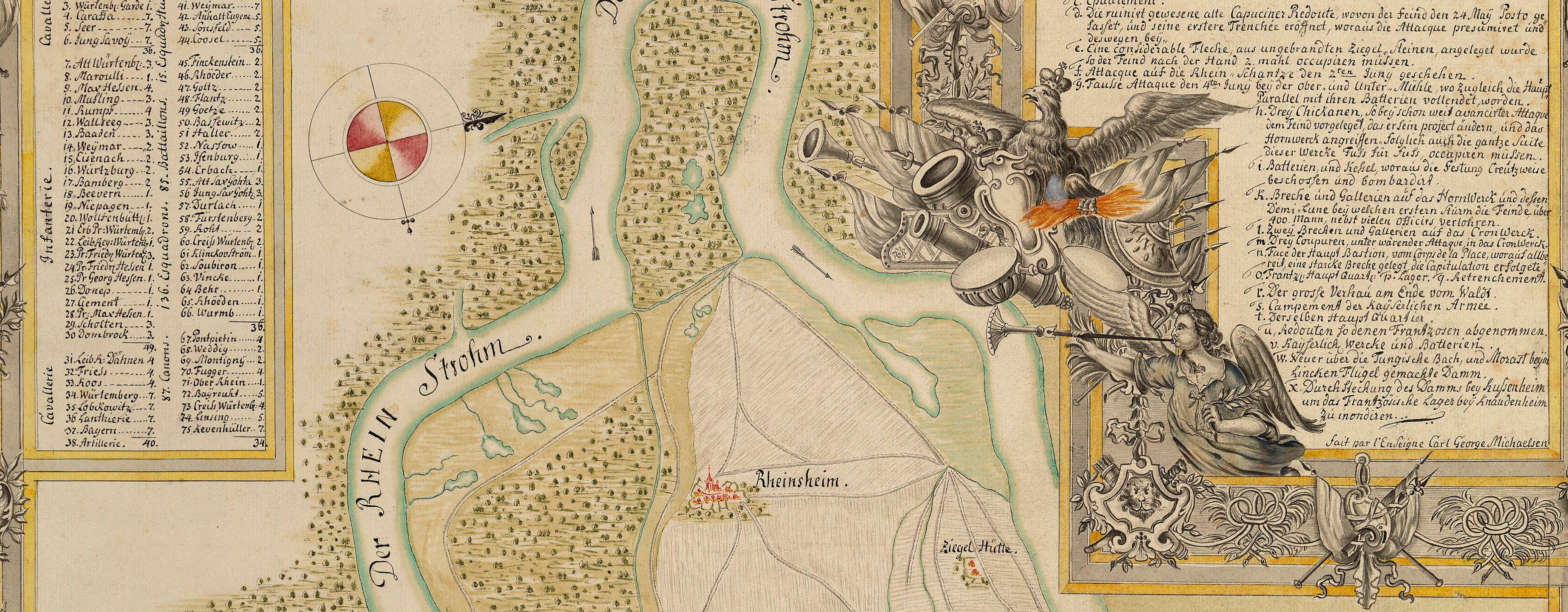
War of the Polish Succession (1733-8)
The Rhine and Moselle rivers and parts of Italy
Plan of the Battle of Parma, 1734 (Parma, Emilia-Romagna, Italy) 44°48ʹ09ʺN 10°19ʹ44ʺE
1734 or laterPencil, pen, ink and watercolour on two sheets of paper, joined; laid down on coarse linen | Scale: 1:4,500 approx. | RCIN 727059
A plan of the Battle of Parma, fought on 29 June 1734 between the French and Sardinians, commanded by François-Marie, 1st duc de Broglie (1671-1745) and François de Franquetot de Coigny (1670-1759) and the Austrian Habsburg [Imperial] army, commanded by General Field Marshal Count Florimund de Mercy (1666-1734) and Frederick Louis Duke of Württemberg (1690-1734), resulting in a French victory. War of the Polish Succession (1733-8). Oriented with south-south-west to top (cardinal points).
Additional text: [bottom left, a key, A-I, K-N, to the positions of French, Piedmontese and Savoyard troops, villages, bridges, batteries, etc:] Position de L’Armée Alliée [bottom left, a key, O-T, V, X, Z, to the positions of the regiments of the Imperial army:] Position des Imperiaux. [Right, down right side of plan, an account of the actions of the French army, with a tally of the numbers killed and wounded (the French had 4,000 men and 680 officers killed or wounded, and the Imperialist lost 6,000 men and 360 officers, killed or wounded):] Explication.
Condition: one fold line; surface dirt. Verso: foxing.
GB Gianotti (active 1734) (draughtsman) [top left, inside three of the green ‘garden’ rectangles:] G: B: Gianotti Delin.
Subject(s)
Army-FranceArmy-AustriaArmy-SardiniaWatermark: Indistinct, obscured by linen backing: Maltese cross in rosary; countermark: letters T D in cartouche, separated by dome-shaped structure
Mark, stamped: 248
Condition: one fold line; surface dirt. Verso: foxing.
Scale: 1:4,500 approx. Scale bar: Toises [130 mm = 300].
51.0 x 76.9 cm (image and neatline)
51.7 x 77.5 cm (sheet)
Manuscript title:
Plan du Champ de Battaille Sous Parme entre / les Armées Alliées et Imperiales du 29 Iuin 1734. [top left]
Additional text:
[bottom left, a key, A-I, K-N, to the positions of French, Piedmontese and Savoyard troops, villages, bridges, batteries, etc:] Position de L’Armée Alliée [bottom left, a key, O-T, V, X, Z, to the positions of the regiments of the Imperial army:] Position des Imperiaux. [Right, down right side of plan, an account of the actions of the French army, with a tally of the numbers killed and wounded (the French had 4,000 men and 680 officers killed or wounded, and the Imperialist lost 6,000 men and 360 officers, killed or wounded):] Explication.
Annotations:
George III heading [on white paper strip pasted to verso:] Battle of Parma 29 June 1734.
Other annotations: (Recto) none. (Verso) [top, right of centre, obscured by white paper strip, ink:] Parma; [bottom centre, black pencil, obscured by white paper strip:] VII/59.
George III catalogue entry:
Parma Plan dessiné du Champ de Bataille sous Parme entre les Armées Alliées et Imperiale le 29 Juin 1734. 2 feuilles.
Subject(s)
Parma, Emilia-Romagna, Italy (44°48ʹ09ʺN 10°19ʹ44ʺE)


