War of the Polish Succession (1733-8)
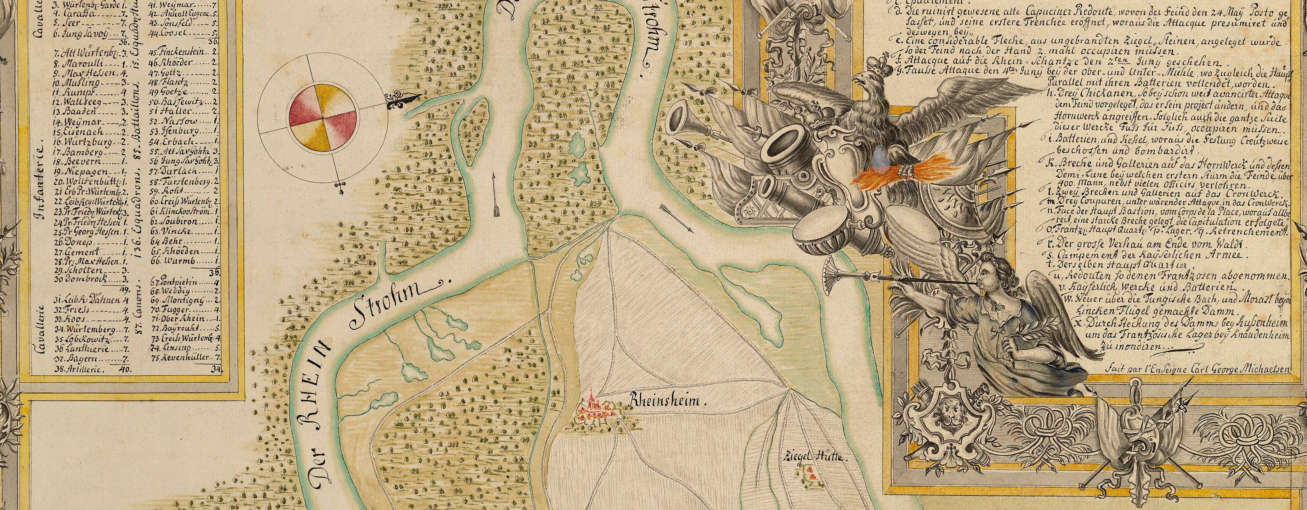
The Rhine and Moselle rivers and parts of Italy
Map of the siege of Danzig, 1734 (Gdańsk, Pomeranian Voivodship, Poland) 54°21ʹ07ʺN 18°38ʹ46ʺE
1734 or laterEtching and engraving; printed on paper | Scale: 1:22,800 approx. | RCIN 727058
This map shows the positions of the Russian-Saxon army and gives regimental names to some of the encamped troops.
Additional text: [top left, in a cartouche representing a drape which is being pulled aside by three putti, one of which is wearing a plumed helmet and shield and carries a trumpet, a key, 1-65, to named bastions, gates, churches and topographical landmarks:] VERKLAARUNG. [Top right, the same key in German.]
Condition: one fold line; small tear to bottom of fold. Verso: bottom centre, water-stained patch, shadow and ghosting from the removal of Cumberland's cipher label; offsetting of same image; surface dirt along left edge; some offsetting perhaps from another copy of the same map, from having been left in a pile soon after printing.
Anonymous military engineer (draughtsman)
Schenk: Warmoesstraat, Amsterdam (Peter Schenk the Younger (1693-1775)) (publisher) [top, following on from Dutch title:] Getekent door een voornaam Ingenieur, Uytgegeven door PETRUS SCHENK voor aan in de Warmoesstraat tot Amsterdam.
Subject(s)
Army-RussiaArmy-SaxonyWatermark: None visible
Condition: one fold line; small tear to bottom of fold. Verso: bottom centre, water-stained patch, shadow and ghosting from the removal of Cumberland's cipher label; offsetting of same image; surface dirt along left edge; some offsetting perhaps from another copy of the same map, from having been left in a pile soon after printing.
Scale: 1:22,800 approx. Scale bars: Rheinlandse Ruthen [33 mm = ] 200; Dantziger Ruthen [38 mm = ] 200; 28 Ordinaire Schritt auf 5 Ruthen Gerechnet.
46.2 x 57.2 cm (neatline)
49.0 x 57.7 cm (image)
49.6 x 58.3 cm (platemark)
54.2 x 63.2 cm (sheet)
Printed title:
PLAN VAN DE STADT DANTZIG EN VAN HET HUIS OF DE SCHANS VAN WEISSELMUNDE NEVENS DE OMLEGGENDE LANDSTREKEN / Als mede eene Naaukeurige afbeelding van de BELEGERING deser stadt en Schans door de SAXEN en RUSSEN en van de door hen gemaakte WERKEN, / Onder de Belegering. [top, above map in rectangular panel; in Dutch]
Printed title:
PLAN / DER STADT DANTZIG UND DER WEICHSELMUNDE / NEBST DER HERUMLIEGENDEN SITUATION / UND SACHSEN UND RUSSEN GEMACHTEN WERCKEN. [top right, in trompe l'oeil torn scroll, in German]
Additional text:
VERKLAARUNG. [top left, in a cartouche representing a drape which is being pulled aside by three putti, one of which is wearing a plumed helmet and shield and carries a trumpet, a key, 1-65, to named bastions, gates, churches and topographical landmarks:] [Top right, the same key in German.]
Annotations:
George III heading: Dantzick 1734.
Other annotations: (Recto) [right, black pencil: a pencilled cross in the margin]; [top right, black pencil, erased:] 15 [?] 1734. (Verso) [top right, black pencil:] 1734; [top right, black pencil:] 1 [or small s]; [bottom right, black pencil:] 8; [bottom, along bottom right edge a cropped black pencil note, illegible]; [bottom centre, black pencil:] 20; [right, above old heading, black pencil, erased:] [?] 1773.
George III catalogue entry:
Dantzick Plan der Stadt Dantzig und der Weichselmunde, nebst der herumliegenden situation und Sachsen und Russen gemachten Wercken, 1734; von P. Schenk.
Subject(s)
Gdańsk, Pomeranian Voivodship, Poland (54°21ʹ07ʺN 18°38ʹ46ʺE)


