War of the Polish Succession (1733-8)
The Rhine and Moselle rivers and parts of Italy
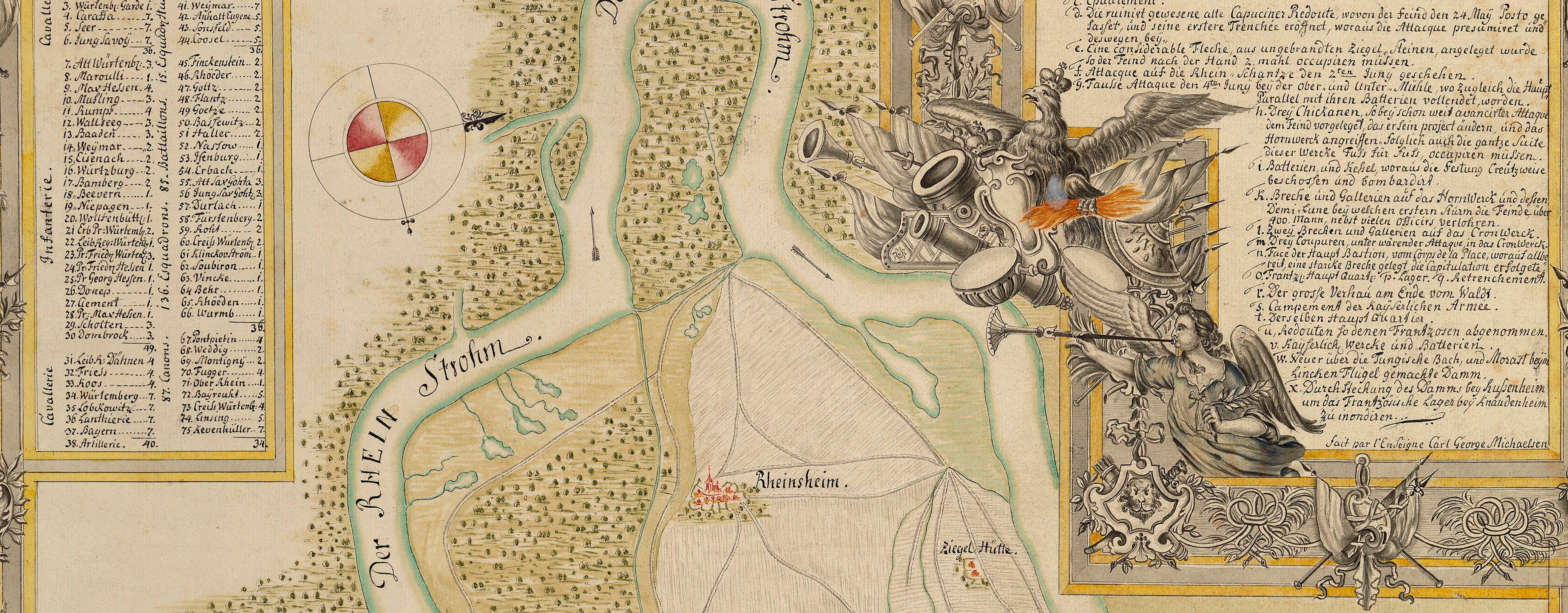
Map of Klausen, Hunsrück, Moselle and Rhine and order of battle of the Imperial army, 1735 (Klausen, Rhineland-Palatinate, Germany) 49°54ʹ00ʺN 06°52ʹ00ʺE; (Upland area, Rhineland-Palatinate, Germany)
1735 or laterEtching and engraving; four maps, printed on four sheets of paper, the inner borders trimmed to the neatline, then joined; hand-coloured | Scale: not stated. 1:100,000 approx. | RCIN 727074
The area covered extends from west of Trier (Rhineland-Palatinate 49°45ʹ20ʺN 06°38ʹ22ʺE) in the south-west to Mainz and Oppenheim (49°51ʹ17ʺN 08°21ʹ35ʺE) in the north-east. Seckersdorff had advanced along the Rhine with an army of about 30,000 men to prevent the French from laying siege to Mainz, forcing them to retreat towards Trier, and defeating them at the Battle of Klausen (Klausen 49°54ʹ00ʺN 06°52ʹ00ʺE) on 20 October. The battle is shown on this map, together with the positions of the encampments and the routes of the marches of the Imperial army, shown by dotted lines, in several columns.
The title states that the information on which this map is based was produced by Seckendorff's office; the detail is very similar to that of the manuscript map at RCIN 727073.
Additional text: [‘SECTIO. I’, ‘SECTIO. II’, ‘SECTIO. III’ and ‘SECTIO. IV’ appears above the top border of the relevant sheets, top left of ‘Sectio. I’, in rectangular panel, the order of battle of the Imperial army under the command of General Friedrich Heinrich Reichsgraf von Seckendorff (1673-1763), and an account of the movements of the French and Imperial armies, referenced to the numbers on the map, at the end of the 1735 campaign.] [Bottom centre of ‘Sectio. II’, an account of the movements of the armies between 6 and 22 October, including the Battle of Klausen on the 20th.] [Top of ‘Sectio. III’, in rectangular panels, an account of the movements of the armies from the beginning of the incursion of the Imperial army into the Rhinelands in August, to 5 October to their camp in Dernbach.]
Condition: fifteen fold lines; creased. Verso: induced discolouration; surface dirt along some of the fold lines; bottom, right of centre, waterstained patch from the removal of Cumberland's cipher label.
Homann's Heirs (1724-1848) (cartographer) [bottom right, following on from title, in title cartouche:] Mit Vorwissen hochged. / Ihro Hochgr. Excell. aus Dero Cantzley com[m]unicirt, u. in / Verlag gegeben an die Hommænisch: Erben C. Privil. S.C.M.
Subject(s)
Army-AustriaArmy-GermanyArmy-FranceWatermark: Coat of arms, crown above? Countermark: a large W.
Condition: fifteen fold lines; creased. Verso: induced discolouration; surface dirt along some of the fold lines; bottom, right of centre, waterstained patch from the removal of Cumberland's cipher label
Scale: not stated. 1:100,000 approx.
32.5 x 177.0 cm (image)
cropped (platemark)
34.5 x 180.8 cm (sheet)
Printed title:
EIN THEIL des HUNDSRUCKS / mit den angrænzen den Maynz-u. Trierischen Læn - / dern in IV Sectionen / Worinen die Marche u Lager der Kayserl. u. Reichs-Armee / unter Com[m]ando des Herrn General-Feld-Zeug-M. Grafen von / SECKENDORF von Mayntz uber den Hundsruck nach der Mosel / gegen Trier u. das Luxenburgische A. 1735. vom M. Oct. biss zuer / folgten Stillstand angezeiget. [bottom right, in rococo cartouche]
Additional text:
[‘SECTIO. I’, ‘SECTIO. II’, ‘SECTIO. III’ and ‘SECTIO. IV’ appears above the top border of the relevant sheets, top left of ‘Sectio. I’, in rectangular panel, the order of battle of the Imperial army under the command of General Friedrich Heinrich Reichsgraf von Seckendorff (1673-1763), and an account of the movements of the French and Imperial armies, referenced to the numbers on the map, at the end of the 1735 campaign.] [Bottom centre of ‘Sectio. II’, an account of the movements of the armies between 6 and 22 October, including the Battle of Klausen on the 20th.] [Top of ‘Sectio. III’, in rectangular panels, an account of the movements of the armies from the beginning of the incursion of the Imperial army into the Rhinelands in August, to 5 October to their camp in Dernbach.]
Annotations:
George III heading: Encampments in the Hunsdruck on the Rhine and Moselle 1 Oct-5 Nov.r 1735.
Other annotations: (Recto) none. (Verso) [top left, ink:] Germany / 2:d Case [the word ‘Case’ is struck out in ink] } [the number 9, and perhaps a monogram? encircled.]; [bottom centre, black pencil:] Mentz 1735 [and] 10 [and, struck out several times in black pencil:] 3; [bottom, left of right fold, crossed out in black pencil, cropped:] [?] 4; [centre panel, centre, red pencil:] 10.
George III catalogue entry:
Encampment Ein theil des Hundsrucks mit den angrenzenden Maynz und Trierischen Lændern, in 4 sectionen, worinen die Marche und Lager der Kayserl. und Reichs Armee unter commando des Grafen von Seckendorf, von Mayntz uber den Hundsruck nach der Mosel gegen Trier und das Luxenburgische, 1735 vom Oct. biss zur folgten stillsand angezeiget: im verlag der Homænnischen Erben. [The same entry appears under the headings Hundsruck, Moselle, and Rhine.
Subject(s)
Klausen, Rhineland-Palatinate, Germany (49°54ʹ00ʺN 06°52ʹ00ʺE)
Upland area, Rhineland-Palatinate, Germany


