War of the Polish Succession (1733-8)
The Rhine and Moselle rivers and parts of Italy
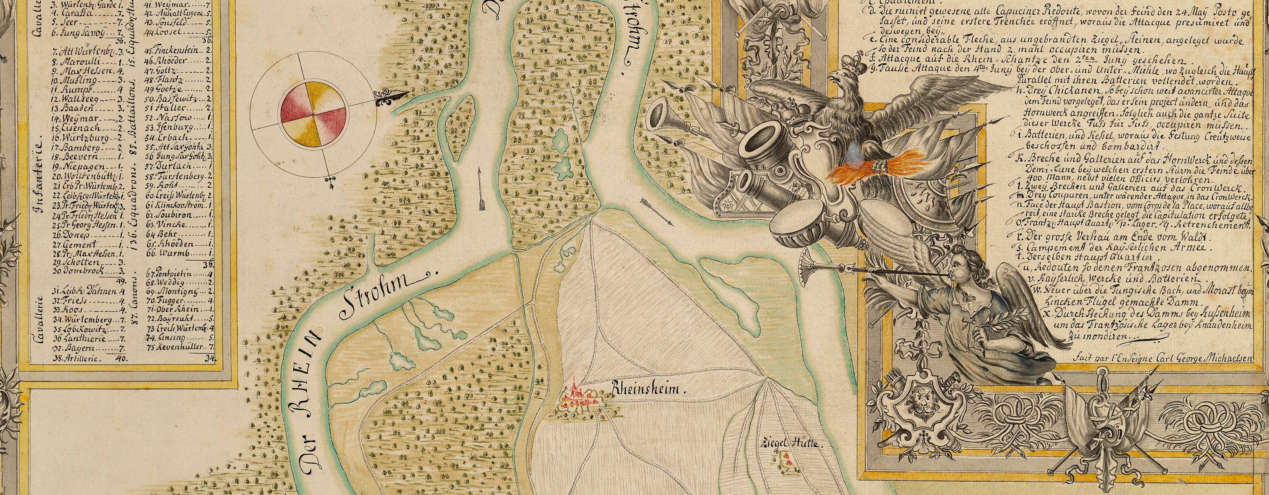
Map of Klausen, Hunsrück, Moselle and Rhine and order of battle of the Imperial army, 1735 (Klausen, Rhineland-Palatinate, Germany) 49°54ʹ00ʺN 06°52ʹ00ʺE; (Upland area, Rhineland-Palatinate, Germany)
1735 or laterPencil, pen, ink and watercolour on three sheets of paper, previously joined; laid down on coarse linen | Scale: 1:100,000 approx. | RCIN 727073
The area covered extends from west of Trier (Rhineland-Palatinate 49°45ʹ20ʺN 06°38ʹ22ʺE) in the south-west to Mainz and Oppenheim (49°51ʹ17ʺN 08°21ʹ35ʺE) in the north-east. Seckersdorff had advanced along the Rhine with an army of about 30,000 men to prevent the French from laying siege to Mainz, forcing them to retreat towards Trier, and defeating them at the Battle of Klausen (Klausen 49°54ʹ00ʺN 06°52ʹ00ʺE) on 20 October. The battle is shown on this map, together with the positions of the encampments and the routes of the marches of the Imperial army, shown by red dotted lines, in several columns.
Additional text: [bottom centre, in rectangular panel, a journal of the movements of the army between 29 August and 7 October.] [Top centre, in rectangular panel, a continuation of the journal for the period between 8 and 20 October 1735, including the Battle of Klausen.] [Bottom right, in rectangular panel, a further continuation from 21 October to 5 November.] [Bottom right, in rectangular panel, an order of battle:] Ordre de Bataille / under the command of] Son Excell: Monr le Comte de Seckendorff, General en Chef.
Condition: two fold lines; surface dirt along folds. Verso: brown discolouration; foxing; surface dirt.
Anonymous (cartographer)
Subject(s)
Army-AustriaArmy-GermanyArmy-FranceWatermark: None visible
Mark, stamped: 256
Condition: two fold lines; surface dirt along folds. Verso: brown discolouration; foxing; surface dirt
Scale: 1:100,000 approx. Scale bar: Echelle de 2 heures de Chemin. [95 mm =].
31.1 x 177.5 cm (neatline)
31.6 x 178.1 cm (image)
33.6 x 180.7 cm (sheet)
Manuscript title:
Marches de l’Armée Imperiale et de l’Empire / Commandée par Son Excellence Monsieur le Comte / de Seckendorff, General Feldzeugmeister / passant le Rhin à Mayence et par le Hundesrück / a la Moselle, vers Treves et le Pais de Luxembourg / La Campagne 1735 Mois d’October / jusqu à la Suspension d’Armes. [top left, in rococo cartouche]
Additional text:
[bottom centre, in rectangular panel, a journal of the movements of the army between 29 August and 7 October.] [Top centre, in rectangular panel, a continuation of the journal for the period between 8 and 20 October 1735, including the Battle of Klausen.] [Bottom right, in rectangular panel, a further continuation from 21 October to 5 November.] [Bottom right, in rectangular panel, an order of battle:] Ordre de Bataille / under the command of] Son Excell: Monr le Comte de Seckendorff, General en Chef.
Annotations:
George III heading: Encampments in the Hunsdruck on the Rhine and Moselle 1 Octr – 5 Nov.r 1735.
Other annotations: (Recto) none. (Verso) [top right of right fold, black pencil:] VII/6[?] [and, black pencil:] VII [and, red pencil:] 6/[62?].
George III catalogue entry:
Encampment Carte dessineé des Marches (et Campemens) de l’Armée Imperiale et de l’Empire commandée par le Comte de Seckendorff, passant le Rhin a Mayence, et par le Hundsruck a la Moselle vers Treves et les Pais de Luxembourg: depuis le 1.er d’Oct.re jusqu’a la suspension d’Armes, le 5 Nov.re 1735. 4 petites feuilles. [The same entry appears under the headings Hundsruck, Moselle, and Rhine.]
Subject(s)
Klausen, Rhineland-Palatinate, Germany (49°54ʹ00ʺN 06°52ʹ00ʺE)
Upland area, Rhineland-Palatinate, Germany


