War of the Polish Succession (1733-8)
The Rhine and Moselle rivers and parts of Italy
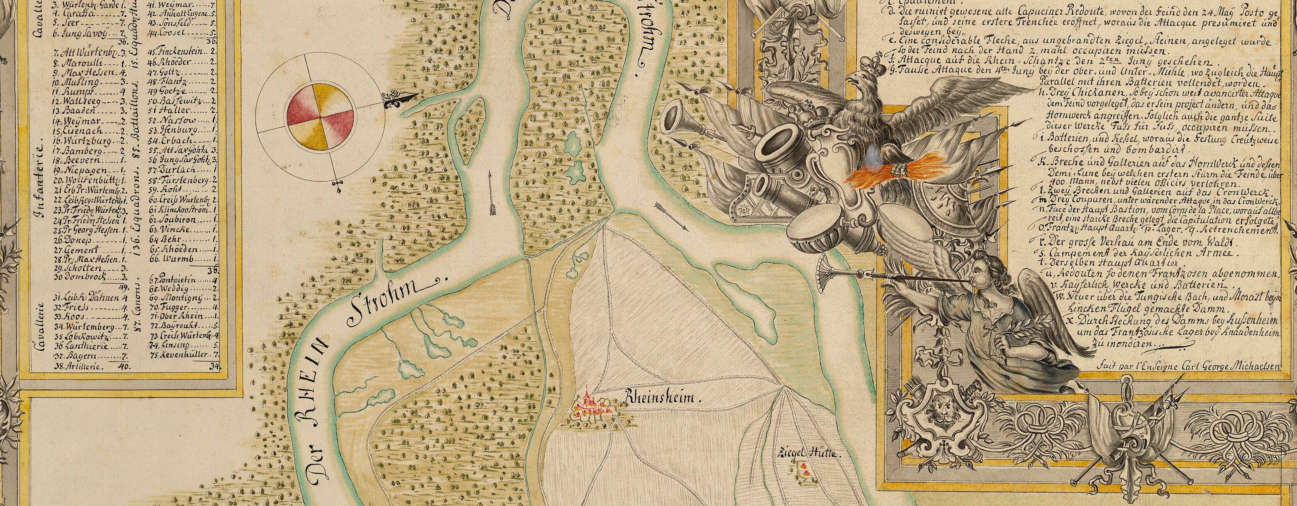
Map of Bruchsal, Durlach, and Langenbrücken, 1735 (Bruchsal, Baden-Württemberg, Germany) 49°07ʹ27ʺN 08°35ʹ52ʺE; (Durlach, Baden-Württemberg, Germany) 48°59ʹ59ʺN 08°28ʹ28ʺE; (Bad Langenbrücken, Baden-Würtemberg, Ger
1735 or laterEtching and engraving from two copperplates and printed on two sheets of paper, the inner borders have been trimmed to the neatline and the two sheets joined; hand-coloured | Scale: 1:41,400 approx. | RCIN 727067.a
The surveyor of this map, Gustaf Friedrich Riecke, was employed as an Ensign in the army of Ferdinand Albert II, Duke of Braunschweig-Lüneburg (1680-1735), also during 1735 Prince of Wolfenbüttel and officer in the army of the Holy Roman Empire. Riecke was, therefore, in Hanoverian service.
Condition: one fold line. Verso: induced discolouration; top, right of centre, shadow from the removal of Cumberland's cipher label; offsetting from another copy of the same map, probably caused by the maps having been put one on top of the other while the printing ink was still slightly damp.
Homann's Heirs (1724-1848) (cartographer and publisher) [top left, following on from German title]: Ausgefertigt in der Homännl. Officin / Mit allergn, Kaÿs. Privilegio.; [top right, following on from French title:] Mis au jour par les Heritiers de feu Msr / le Docteur Homann. Avec Privil.
Gustaf Friedrich Riecke (active 1734-5) (draughtsman) [bottom left, inside neatline:] Levé par G.F. Riecke, / Enseigne de S.A.S. Msgr / le Duc de Brounsvic & Lüneb.
Subject(s)
Army-ImperialArmy-AustriaWatermark: The letter D above letters W H in an upside down heart from which extends downwards a double-lined ‘4’ which is sideways on
Condition: one fold line. Verso: induced discolouration; top, right of centre, shadow from the removal of Cumberland's cipher label; offsetting from another copy of the same map, probably caused by the maps having been put one on top of the other while the printing ink was still slightly damp
Scale: 1:41,400 approx. Scale bars: Maasstab von 14000. Französ. Fuß, deren 14000. eine Stunde Weges. [180mm =]. Maasstab von 6000. Schritt, deren 5600. eine Stunde wegs, u. 11200. eine Meile machen. [116 mm =].
22.6 x 86.0 cm (neatline)
25.1 x 87.5 cm (image)
trimmed (platemark)
29.0 x 91.5 cm (sheet)
Printed title:
Vorstellung des CAMPEMENTS der KAYSERL. u. REICHS-ARMEE zu BRUCHSAL, mit denen Inondationen u. neuen / Linien 1735 in denen Gegenden von Ettlingen, bis Langenbruck. // CAMPEMENT de l’Armée Imperiale à BRUCHSAL, ou l’on remarque les Inondations, & les Lignes tracées l’an 1735 dans les Terrains / d’Ettlingen, de Durlach, jusqu’à Langenbruck. [top, across top of map, in rectangular panels, in German and French]
Annotations:
George III heading: Encampment at Bruchsal in 1735.
Other annotations: (Recto) [bottom right, ink, partly erased:] Germany / [?] } 6. (Verso) [top centre, black pencil, in Mason's hand?:] 12; [bottom right, black pencil, in Schultz's or Mason's hand?:] 1735; B.b. [struck out in black pencil]; 5.3 [struck out in black pencil]; 2 [struck out in black pencil]; an asterisk; 28.; [right of centre, brown ink, in early nineteenth-century hand?:] Le Prince Eugene décampa de Bruchsal, qu’il occupoit / depuis le commencement de la campagne, / le 17 Septembre 1735 / Barre Hist. d’Allem. V.X.p.852 [i.e. Joseph Barre, Histoire générale d’Allemagne, Paris, 10 vols, 1748.]; [bottom centre, black pencil, erased:] Bruchsal 1735 [and:] XXVI
George III catalogue entry:
Bruchsal Campement de l’Armée Imperiale a Bruchsal, où l’on remarque les Inondations et les Lignes tracées l’an 1735 dans les terrains d’Ettlingen, de Durlach, jusqu’à Langenbruch: par G.F. Riecke; chez les Heretiers d’Homann. 2 feuilles. [The same entry appears under the heading Encampment.]
Subject(s)
Bruchsal, Baden-Württemberg, Germany (49°07ʹ27ʺN 08°35ʹ52ʺE)
Durlach, Baden-Württemberg, Germany (48°59ʹ59ʺN 08°28ʹ28ʺE)
Bad Langenbrücken, Baden-Würtemberg, Germany (49°12ʹ04ʺN 08°38ʹ30ʺE)


