War of the Polish Succession (1733-8)
The Rhine and Moselle rivers and parts of Italy
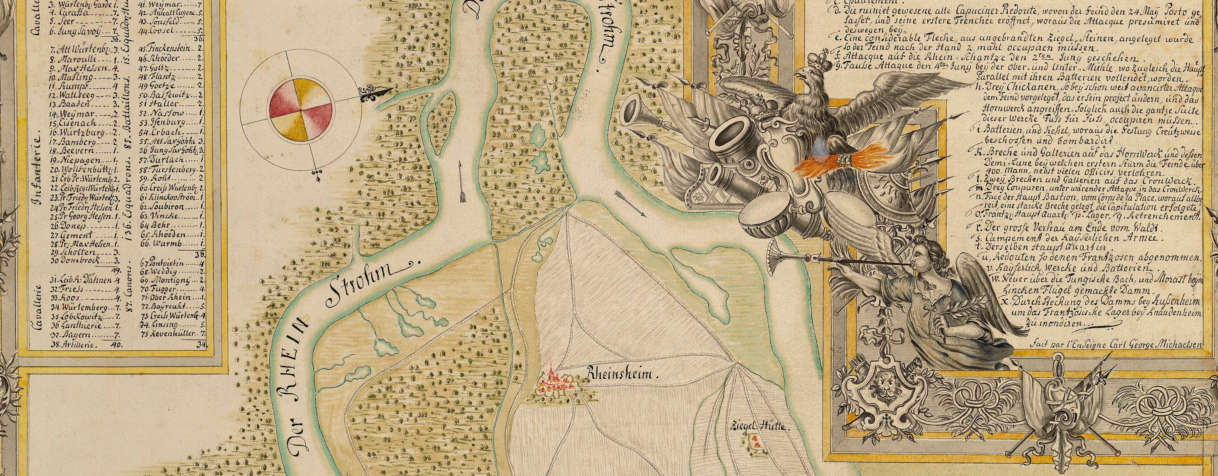
Map of the Rhine, Ettlingen and Mühlberg, 1735 (Ettlingen, Baden-Württemberg, Germany) 48°56ʹ27ʺN 08°24ʹ27ʺE; (Mühlberg, Baden-Württemberg, Germany (49°00ʹ46ʺN 08°21ʹ33ʺE)
1735 or laterPencil, pen, ink and watercolour on two sheets of paper, previously joined; laid down on coarse linen | Scale: 1:21,400 approx. | RCIN 727066
This is a rough sketch showing the same details as the map at RCIN 727065; it is possible that it is by Schultz, but in a very rough and hurried hand.
Additional text: [right, down right side of map, below title, a key, 1-36, giving a description of the strength of the redoubts, etc., along the fortified lines, and other observations about the terrain; the key is continued, top left, in a rectangular panel, a continuation of the key, 37-63; bottom, below border, a further continuation of the key, 64-82.]
Condition: at least ten fold lines; very creased; surface dirt; bottom right corner cut off. Verso: substantial brown discolouration.
Anonymous (cartographer)
Subject(s)
Army-AustriaWatermark: None visible
Mark, stamped: 252
Condition: at least ten fold lines; very creased; surface dirt; bottom right corner cut off. Verso: substantial brown discolouration
Scale: 1:21,400 approx. Scale bar: [158 mm =] 1000 frantz: Schahe?
37.8 x 92.4 cm (neatline)
39.3 x 105.0 cm (image)
40.6 x 105.7 cm (sheet)
Manuscript title:
Ranvoy / des lignes depuis le Rhein jusqu’au Som= / merberg qui est la premiere hauteur de la / forest noire et de la par la dite forest jus= / qau mittelberg [top right, above border]
Additional text:
[right, down right side of map, below title, a key, 1-36, giving a description of the strength of the redoubts, etc., along the fortified lines, and other observations about the terrain; the key is continued, top left, in a rectangular panel, a continuation of the key, 37-63; bottom, below border, a further continuation of the key, 64-82.]
Annotations:
George III heading: Lines on the Rhine in 1735.
Other annotations: (Recto) none. (Verso) [top, centre, obscured by linen backing, black pencil, indistinct.]
George III catalogue entry:
Lines A rough Sketch of D.o [i.e. of RCIN 727065.]
Subject(s)
Ettlingen, Baden-Württemberg, Germany (48°56ʹ27ʺN 08°24ʹ27ʺE)
Mühlberg, Baden-Württemberg, Germany (49°00ʹ46ʺN 08°21ʹ33ʺE)


