War of the Polish Succession (1733-8)
The Rhine and Moselle rivers and parts of Italy
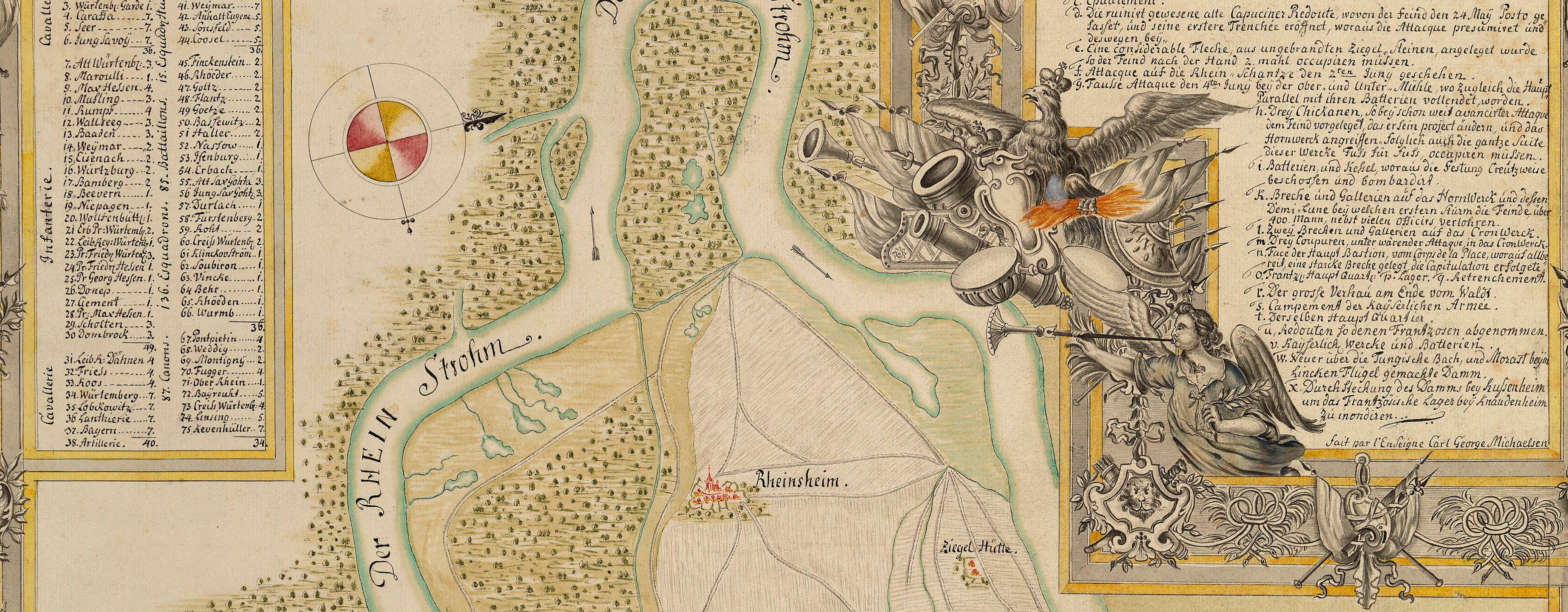
Map of encampments near Heilbronn and Philippsburg, 1734 (Heilbronn, Baden-Württemberg, Germany) 49°08ʹ23ʺN 09°13ʹ13ʺE; (Philippsburg, Baden-Württemberg, Germany) 49°13ʹ54ʺN 08°27ʹ39ʺE
1734 or laterPencil, pen, ink and watercolour on two sheets of paper, joined; laid down first, on linen, secondly, on two sheets of paper pasted together | Scale: not stated. 1:97,000 approx. | RCIN 727048
Additional text: [bottom right, in rectangular panel, a key, a-i, k-s, to the position of the first camp at Heilbronn, the army camp ranged in order of battle at Heilbronn on 19 June, having crossed the Neckar and the Leine rivers, the march to the camp at Adelshoven (Adelshofen 49°10ʹ08ʺN 08°53ʹ28ʺE) on 21 June, the march and camp at Gogsheim (Gochsheim 49°06ʹ13ʺN 08°44ʹ47ʺE) on 24 June, the camp at Bruchsall (Bruchsal 49°07ʹ27ʺN 08°35ʹ53ʺE) on 26 June, the camp at Wiesenthael (Wiesental 49°13ʹ37ʺN 08°31ʹ05ʺE) on 1 July, the French camp surrounding Philippsburg, the redoubts made by the Imperial army for their outposts, a road made with fascines in order to cross the marshland, and the line of a redoubt, begun on 10 July.]
Condition: at least eight fold lines; surface dirt; brown discolouration, especially in the centre of the camp at Bruchsall. Verso: pronounced surface dirt on right half; the backing paper is creased and cracked; some brown discolouration, particularly coming through from the Bruchsall patch on the recto.
Homann’s Heirs (1742-1848) (cartographer)
Subject(s)
Army-AustriaWatermark: None visible
Mark, stamped: 244
Condition: at least eight fold lines; surface dirt; brown discolouration, especially in the centre of the camp at Bruchsall. Verso: pronounced surface dirt on right half; the backing paper is creased and cracked; some brown discolouration, particularly coming through from the Bruchsall patch on the recto
Scale: not stated. 1:97,000 approx.
23.7 x 77.5 cm (neatline)
24.3 x 78.0 cm (image)
27.8 x 81.8 cm (sheet)
Manuscript title:
Camps et Marchees de l’Armee Imperiale / Commandée par Son Ae Sme le Prince de Savoy, / apres avoir eté formé pres de Heilbrún pour venir secourir / la Ville de Philipsbourg, assiegée par l’Armée françoise, 1734. [top centre, in rectangular panel]
Additional text:
[bottom right, in rectangular panel, a key, a-i, k-s, to the position of the first camp at Heilbronn, the army camp ranged in order of battle at Heilbronn on 19 June, having crossed the Neckar and the Leine rivers, the march to the camp at Adelshoven (Adelshofen 49°10ʹ08ʺN 08°53ʹ28ʺE) on 21 June, the march and camp at Gogsheim (Gochsheim 49°06ʹ13ʺN 08°44ʹ47ʺE) on 24 June, the camp at Bruchsall (Bruchsal 49°07ʹ27ʺN 08°35ʹ53ʺE) on 26 June, the camp at Wiesenthael (Wiesental 49°13ʹ37ʺN 08°31ʹ05ʺE) on 1 July, the French camp surrounding Philippsburg, the redoubts made by the Imperial army for their outposts, a road made with fascines in order to cross the marshland, and the line of a redoubt, begun on 10 July.]
Annotations:
George III heading: Encampment near Philipsbourg 1734.
Other annotations: (Recto) none. (Verso) [top left, black pencil, indistinct:] C- 31; [bottom right, red pencil:] 6/54.
George III catalogue entry:
Encampment Plan dessiné des Camps et Marches de l’Armée Imperiale commandée par le Prince de Savoye, apres avoir eté formée pres de Heilbrun pour venir secourir la Ville de Philipsbourg, assiegée par l’Armée Francoise, 1734. 2 feuilles. [The same entry appears under the heading Philipsbourg.]
Subject(s)
Heilbronn, Baden-Württemberg, Germany (49°08ʹ23ʺN 09°13ʹ13ʺE)
Philippsburg, Baden-Württemberg, Germany (49°13ʹ54ʺN 08°27ʹ39ʺE)


