War of the Polish Succession (1733-8)
The Rhine and Moselle rivers and parts of Italy
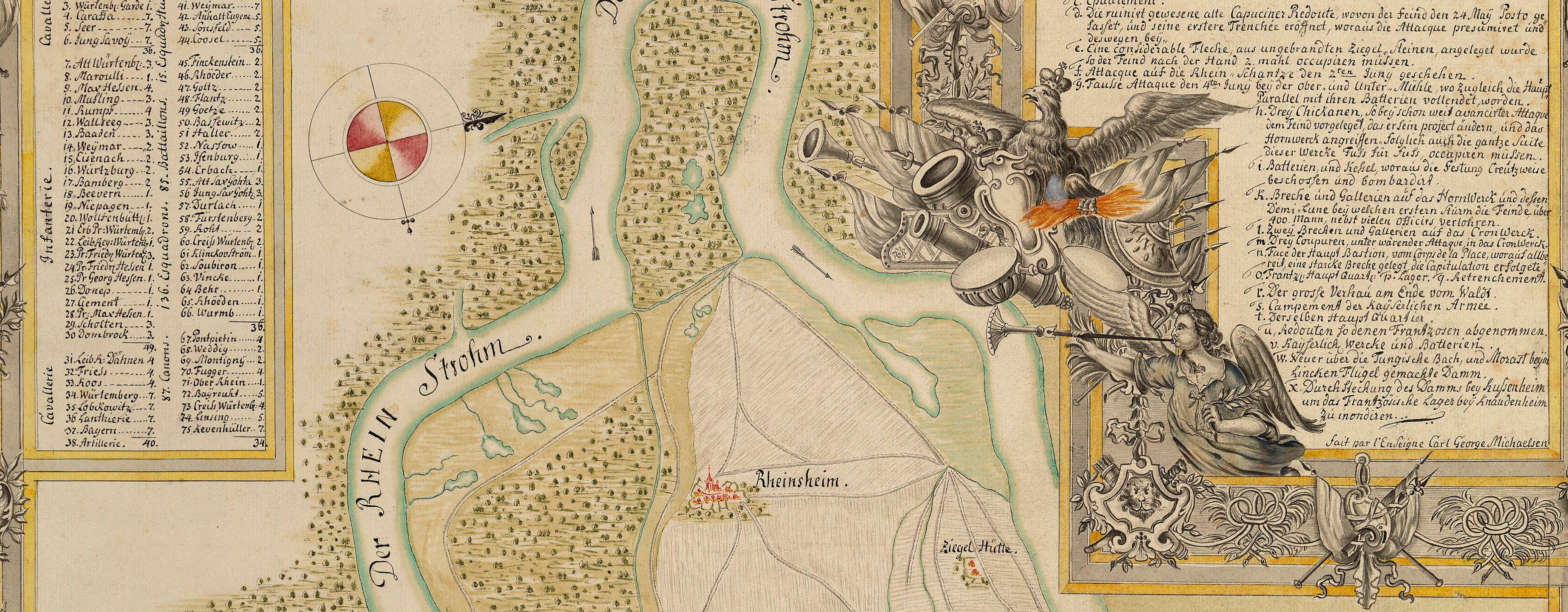
Map of encampment at Mainz, 1735 (Mainz, Rhineland-Palatinate, Germany) 49°59'03"N 08°16'44"E
published 1735Etching and engraving; printed on paper | Scale: not stated. 1:41,000 approx. | RCIN 727072
The encampment, of Hanoverian, Prussian and Saxon troops, is placed in order of battle in two lines, commanded by the Franconian General Friedrich Heinrich Reichsgraf von Seckendorff (1673-1763), who was also Governor of Mainz.
Additional text: [top right, below title, in title cartouche, letterpress: a key, A-G, to the Imperial camp, commanded by General Seckendorff at Weisenau, 31 August; the German pontoon bridge which was ready for crossing by 30 August; the area where the enemy were foraging near the city in June and July; the French camp, commanded by the marquis of Bedreus near Stadecke; the French camp near Algesheim, commanded by General BelleIsle – both camps being broken up on 28 August; the island of Junge Aue on which there was an enemy (French) position where they had thrown up a redoubt; German stations in the Rhine district.]
Condition: seven fold lines; creased. Verso: surface dirt and discolouration to right half; surface dirt along fold lines on right half; bottom, left of centre: shadow and discolouration from the removal of Cumberland’s cipher label.
Heinrich Ludwig Brönner (active 1735-79) (publisher) [top right, below title and text:] Franckfurt am Mayn, / bey Henrich Ludwig / Brönner / auf dem Pfarreisen, / M DCC XXXV.
Subject(s)
Army-FranceArmy-AustriaArmy-GermanyWatermark: None
Condition: seven fold lines; creased. Verso: surface dirt and discolouration to right half; surface dirt along fold lines on right half; bottom, left of centre: shadow and discolouration from the removal of Cumberland’s cipher label
Scale: not stated. 1:41,000 approx.
39.2 x 54.5 cm (neatline)
39.7 x 55.0 cm (image)
40.7 x 55.6 cm (platemark)
51.5 x 54.0 cm (sheet)
Printed title:
SITUATION VON MAYNTZ, / nebst denen / Teutschen und Frantzösischen Feld-Lägern, welche / An. 1735. bey dieser Stadt und hinter der Seltz geschla- / gen worden. [top right, in cartouche designed as a scroll, embellished with flags and halberds, engraved and letterpress text]
Additional text:
[top right, below title, in title cartouche, letterpress: a key, A-G, to the Imperial camp, commanded by General Seckendorff at Weisenau, 31 August; the German pontoon bridge which was ready for crossing by 30 August; the area where the enemy were foraging near the city in June and July; the French camp, commanded by the marquis of Bedreus near Stadecke; the French camp near Algesheim, commanded by General BelleIsle – both camps being broken up on 28 August; the island of Junge Aue on which there was an enemy (French) position where they had thrown up a redoubt; German stations in the Rhine district.]
Annotations:
George III heading: Encampment near Mentz 31 August 1735.
Other annotations: (Recto) none. (Verso) [top right, faint black pencil:] 1735; [top right, black pencil:] B.b. 26. [the ‘26’ is written in lighter pencil]; [top right, black pencil:] 30; [bottom, left of centre, black pencil, in Mason's hand?:] 14; [bottom, left of centre, black pencil:] Mentz 1735; [right centre, red pencil:] 14; [top, right of centre, black pencil, erased:] Mentz.
George III catalogue entry:
Mentz Situation von Mayntz nebst denen Teutschen und Frantzosischen Feld Lagern welche 1735 bey dieser Stadt und hinter der Seltz geschlagen worden: bey H.L. Broenner, 1735. [The same entry appears under the heading Encampment.]
Subject(s)
Mainz, Rhineland-Palatinate, Germany (49°59'03"N 08°16'44"E)


