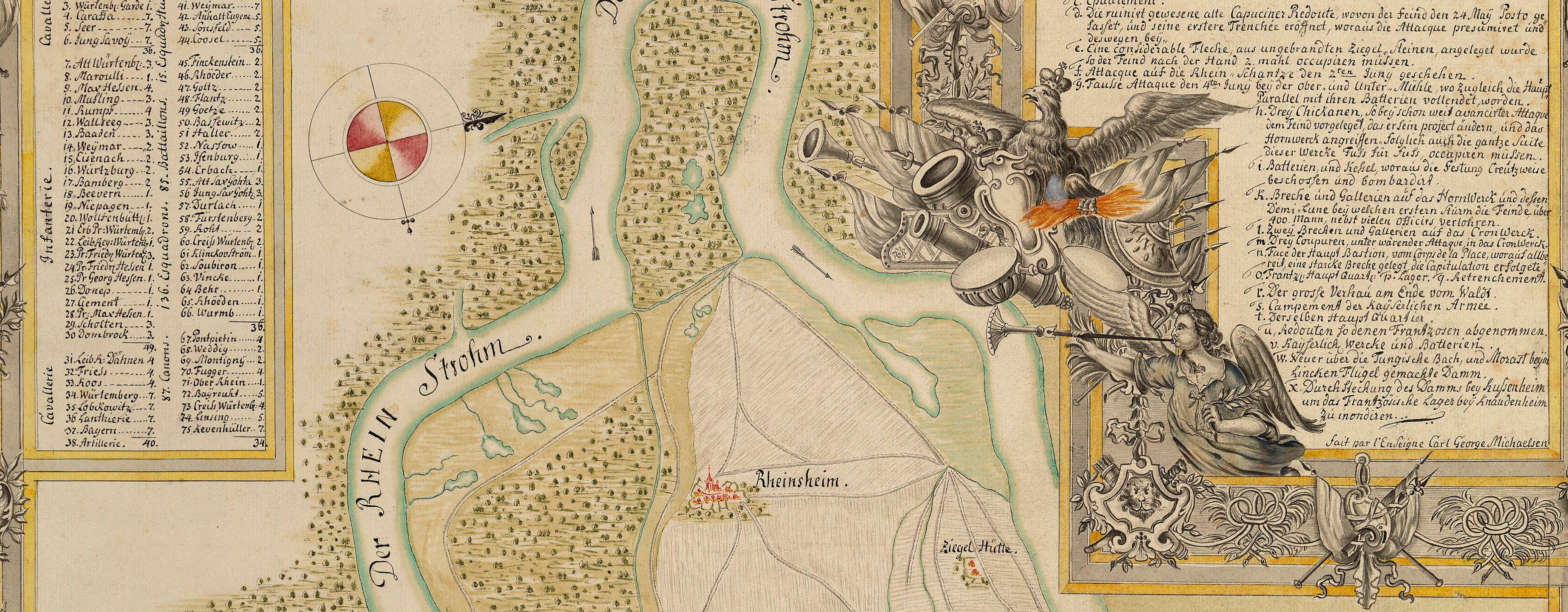
War of the Polish Succession (1733-8)
The Rhine and Moselle rivers and parts of Italy
Map of the Battle of Guastalla, 1734 (Guastalla, Emilia-Romagna, Italy) 44°54ʹ47ʺN 10°39ʹ39ʺE
1734 or laterPencil, pen, ink and watercolour on two sheets of paper, joined; laid down on coarse linen | Scale: 1:11,700 approx. | RCIN 727064
This large-scale map shows what appears to be a comprehensive local road network and the fortified lines to the south-west and north-east of Guastalla, as well as the double boat bridges across the Po. An old, dead, branch of the River Po has been named the Folcarino.
Additional text: [left, down left side of map, a key, 1-29, to the trenches, islands, boat bridges, roads, an old section of the Po, the first and second lines of the French and Sardinian armies, etc; followed by non-sequential numbers relating to the ‘Position de L’Armée Alliée’ and another section of non-sequential numbers realting to the ‘Position de L’Armée Imp.le’ which contains a description of the battle:] Explication
Condition: one fold line. Verso: surface dirt; brown spotting and foxing; top left half: fragments of paper, perhaps from a former label.
GB Gianotti (active 1734) (draughtsman) [top left, in title scroll, ink:] G: B: Ginotti. delin
Subject(s)
Army-FranceArmy-AustriaArmy-SaxonyArmy-SardiniaWatermark: Maltese cross inside rosary, countermark: the letters T D separated by a dome-shaped structure in a cartouche
Mark, stamped: 250
Condition: one fold line. Verso: surface dirt; brown spotting and foxing; top left half: fragments of paper, perhaps from a former label
Scale: 1:11,700 approx. Scale bar: [100 mm =] 600 Toises.
52.6 x 76.0 cm (image)
52.0 x 75.3 cm (neatline)
53.0 x 78.2 cm (sheet)
Printed title:
Plan du Champ de Battaille Sou-s gvastalle / entre les Armées alliées, et Imperiale, du 19 7bre 1734. [top left, in cartouche representing a banner]
Additional text:
Explication [left, down left side of map, a key, 1-29, to the trenches, islands, boat bridges, roads, an old section of the Po, the first and second lines of the French and Sardinian armies, etc; followed by non-sequential numbers relating to the ‘Position de L’Armée Alliée’ and another section of non-sequential numbers realting to the ‘Position de L’Armée Imp.le’ which contains a description of the battle]
Annotations:
George III heading: Battle of Guastalla 19 Sept.r 1734 [verso, on white paper strip;]
Other annotations: none.
George III catalogue entry:
Guastalla Plan dessiné du Champ de Bataille sous Guastalle entre les Armées Alliées et Imperiales du 19 Septembre 1734: par G.B. Gianotti. 2 feuilles.
Subject(s)
Guastalla, Emilia-Romagna, Italy (44°54ʹ47ʺN 10°39ʹ39ʺE)


