War of the Polish Succession (1733-8)
The Rhine and Moselle rivers and parts of Italy
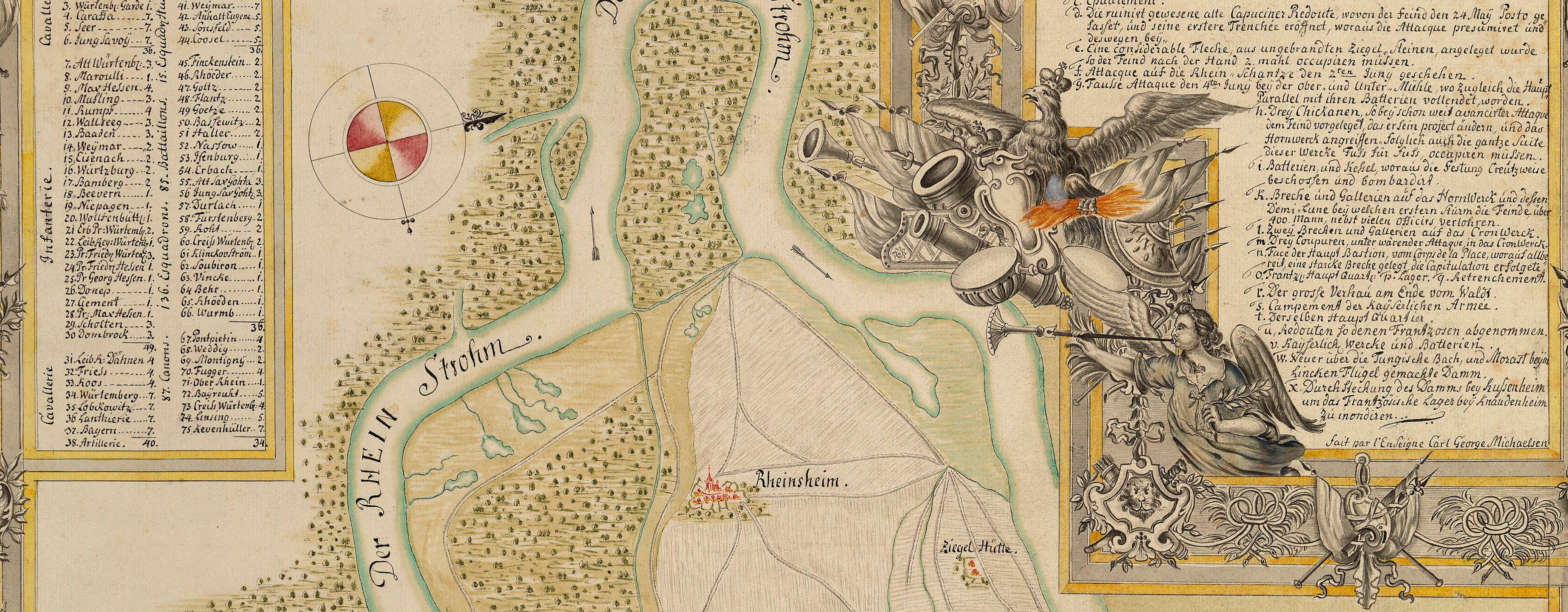
Map of the siege of Philippsburg, 1734 (Philippsburg, Baden-Württemberg, Germany) 49°13ʹ54ʺN 08°27ʹ39ʺE
1734 or laterPencil, pen, ink and watercolour on two sheets of paper, previously joined | Scale: 1:14,300 approx. | RCIN 727055.a
The attribution to Schultz is made on stylistic grounds. Although the cartography is tidy, a comparison of this map with Schultz's other map of Philippsburg at RCIN 727054, shows that this example is much looser in style and more quickly executed. Apart from small variations in spelling, the content is otherwise the same. It may have been made as a hurried duplicate or, it was the rough copy for the finely polished version at RCIN 727054.
The text which is written at the bottom of RCIN 727054 is lacking in this rougher example but is written on a separate sheet at RCIN 727055.b.
Additional text: [top, below title, in title cartouche, a key, A-I, K-T, to the names of the bastions, contregards, demi lunes, gates, etc of the fortress.] [Top right, in rectangular panel, a short note on the dates of the commencement of the attacks and the size of the garrison. Text begins:] L’Attaque du Fort S.t Paul fût com = / mencée le 1. Juin, …
Condition: one fold line; top left, top right, bottom right corners cut off; cropped along bottom: text removed?
? George Augustus Schultz (active 1734-49) (draughtsman)
Subject(s)
Army-FranceArmy-AustriaWatermark: Horn in shield with crown above, the shield suspending a ‘4’ and the letters WR; countermark: IV
Mark, stamped: 247
Condition: one fold line; top left, top right, bottom right corners cut off; cropped along bottom: text removed?
Scale: 1:14,300 approx.Scale bar: Echelle de 500 Toises [68 mm =].
34.8 x 53.6 cm (image and neatline)
36.0 x 54.6 cm (sheet)
Manuscript title:
Plan de PHILIPSBOURG et / de ses Environs, / Les Attaques, les Lignes de Circonvalla- / tions, et l’Armée Françoise ci-devant com- / mandée par M.r le Maréchal de Berwick, et de- / puis le 28 de Juin par M.r le Marquis d’Asfeld. / Avec 120 Esquadrons de Dragons et Cavallerie, avec la Maison / du Roy, aux Ordres de M.r le Marechal Duc de Noailles, Comte de Bellisle / General des Dragons, Polastron et Chersy, Marechaux de / Camps, qui etoient à côté de Spire. [top right, in a cartouche drawn as a trompe l'oeil torn scroll]
Additional text:
[top, below title, in title cartouche, a key, A-I, K-T, to the names of the bastions, contregards, demi lunes, gates, etc of the fortress.] [Text begins:] L’Attaque du Fort S.t Paul fût com = / mencée le 1. Juin, …[Top right, in rectangular panel, a short note on the dates of the commencement of the attacks and the size of the garrison.]
Annotations:
George III heading: Philipsbourg 23 May-18 July 1734.
Other annotations: (Recto) [top right, black pencil:] 1734. (Verso) [top right, black pencil, erased and illegible]; [centre right, red pencil:] Dup.
George III catalogue entry:
Philipsbourg [Another copy of D.o [i.e. another copy of RCIN 727054]]
Subject(s)
Philippsburg, Baden-Württemberg, Germany (49°13ʹ54ʺN 08°27ʹ39ʺE)


