War of the Polish Succession (1733-8)
The Rhine and Moselle rivers and parts of Italy
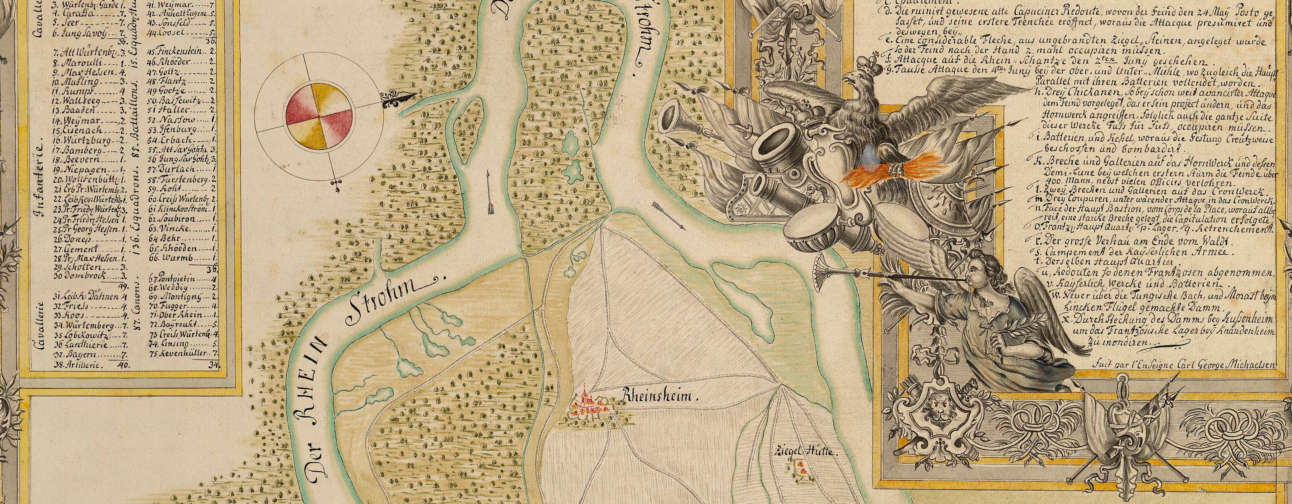
Map of the siege of Philippsburg, 1734 (Philippsburg, Baden-Württemberg, Germany) 49°13ʹ54ʺN 08°27ʹ39ʺE
1734 or laterPencil, pen, ink and watercolour on paper | Scale: 1:14,100 approx. | RCIN 727054
The attribution to Schultz, which is made in the old catalogue, is confirmed by the style of the cartography. The French encampment is shown in detail; the regiments of the encamped battalions and squadrons are all named and are grouped in brigades with the name of each Brigadier-General also given. The general officers commanding the grouped brigades are also named, in the same format as an order of battle, although the encampment is in one long line inside the line of circumvallation which is shown, together with redoubts and a hornwork on the north-east side.The distinction, in the terrain, between dry and marshy land is shown by symbols and colouring. The marshland, in particular, is drawn in a naturalistic way, with pools of blue water interspersed with tussock symbols and a greeny-blue wash indicating wet ground.
The fine execution of this map is typical of Schultz's often exquisite penmanship and artistic presentation of the cartographic facts. This map was probably made sometime in the 1740s specifically for the Duke of Cumberland, in whose collection it originally was.
Additional text: [top, below title, in title cartouche, a key, A-I, K-T, to the names of the bastions, contregards, demi-lunes, gates, etc., of the fortress.] [Top right, in rectangular panel, a short note on the dates of the commencement of the attacks and the size of the garrison. Text begins:] L’Attaque du Fort S.t Paul fut com- / mencée le 1.er Juin … [Across bottom of map in irregularly shaped panel, a key, a-i, k-y, to the batteries, with short notes of their strength and the dates on which they saw action:] Explication des Batteries.
Condition: one fold line; creased; torn along fold, repaired with a paper strip, but this is also torn through; small tears to right edge repaired with paper strips on verso. Verso: surface dirt; ink stains; bottom centre, water-stained patch from the removal of Cumberland's cipher label.
? George Augustus Schultz (active 1734-49) (draughtsman)
Subject(s)
Army-FranceArmy-AustriaWatermark: Strasburg bend and lily, countermark IV
Mark, stamped: 246
Condition: one fold line; creased; torn along fold, repaired with a paper strip, but this is also torn through; small tears to right edge repaired with paper strips on verso. Verso: surface dirt; ink stains; bottom centre, water-stained patch from the removal of Cumberland's cipher label
Scale: 1:14,100 approx. Scale bar: Echelle de 500 Toises [69 mm =].
42.1 x 53.1 cm (image and neatline)
44.0 x 56.7 cm (sheet)
Manuscript title:
Plan de PHILIPSBOURG et / de ses Environs, / Les Attaques, les Lignes de Circonvalla- / tions, et l’Armée Françoise ci-devant com- / mandée par M.r le Maréchal de Berwick, et de- / puis le 28 de Juin par M.r le Marquis d’Asfeld. / Sans 120 Esquadrons de Dragons et Cavallerie, avec la Maison / du Roy, aux Ordres de M.r le Marechal Duc de Noailles, Comte de Bellisles / General des Dragons, Polastron et Chersy, Marechaux de / Camps, qui etoient à côté de Spire. [top right, in a cartouche drawn as a trompe l'oeil torn scroll]
Additional text:
[top, below title, in title cartouche, a key, A-I, K-T, to the names of the bastions, contregards, demi-lunes, gates, etc., of the fortress.] [Top right, in rectangular panel, a short note on the dates of the commencement of the attacks and the size of the garrison. Text begins:] L’Attaque du Fort S.t Paul fut com- / mencée le 1.er Juin … [Across bottom of map in irregularly shaped panel, a key, a-i, k-y, to the batteries, with short notes of their strength and the dates on which they saw action:] Explication des Batteries.
Annotations:
George III heading: Philipsbourg 23 May-18 July 1734.
Other annotations: (Recto) none. (Verso) [top left, black pencil:] A.a.; [top left, ink:] 9.; [top right, black pencil, erased:] 1735; [top right, black pencil:] 22.; [bottom right, black pencil, crossed out in black pencil:] 19 [or 61]; [bottom centre, black pencil:] 6; [bottom centre, black pencil:] Philipsburg 1734; [bottom centre, black pencil:] juin [...?] 3; [centre right, red pencil:] 6; [bottom, above old heading, bottom right, erased:] Ph[ilipsbourg?].
George III catalogue entry:
Philipsbourg Plan dessiné de Philipsbourg et de ses Environs, les Attaques, les Lignes de Circonvallation, et l’Armée Francoise ci-devant commandée par le Marehal de Berwick et depuis le 28 de Juin 1734 par le Marquis d’Asfeld: par M. Schultz.
Subject(s)
Philippsburg, Baden-Württemberg, Germany (49°13ʹ54ʺN 08°27ʹ39ʺE)


