War of the Polish Succession (1733-8)
The Rhine and Moselle rivers and parts of Italy
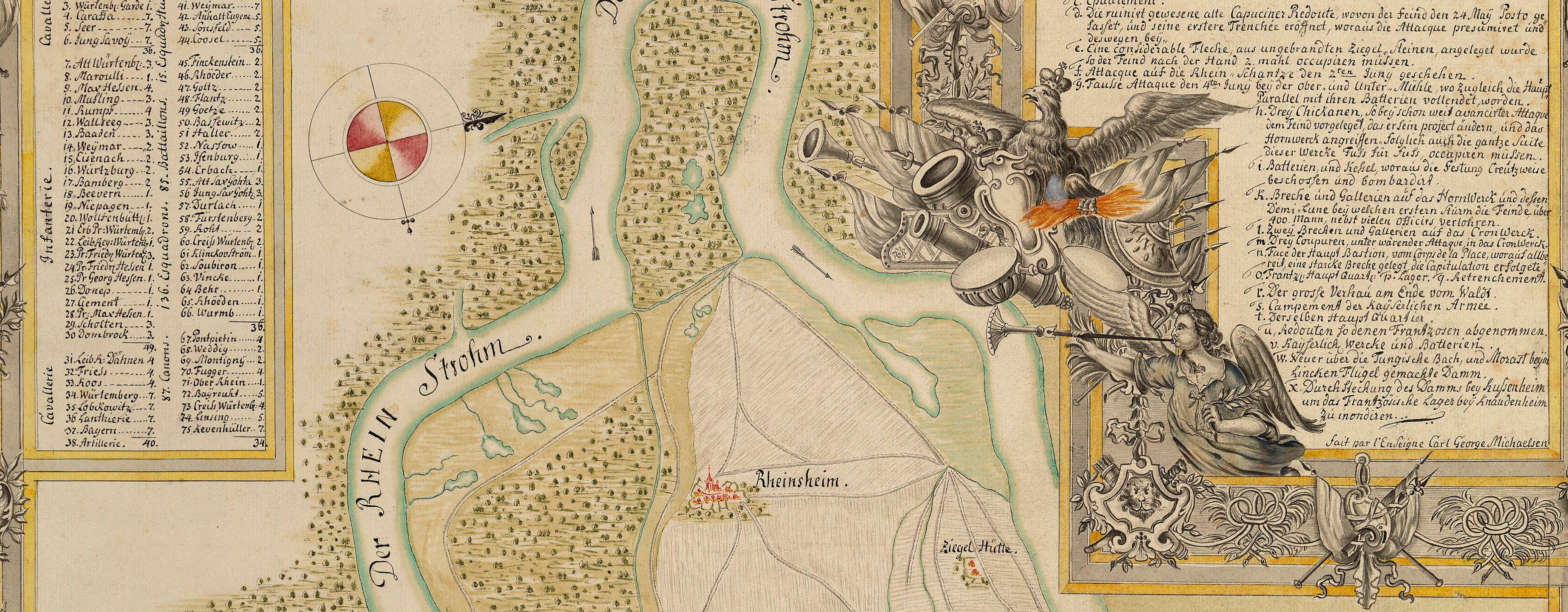
Map of the siege of Philippsburg, 1734 (Philippsburg, Baden-Württemberg, Germany) 49°13ʹ54ʺN 08°27ʹ39ʺE
1734 or laterEtching and engraving; printed on paper | Scale: not stated. 1:6,000 approx. | RCIN 727057
This large-scale map shows the attacks made by the French at the northern end of the fortress. The trajectories of cannon fire are shown by straight lines, while those of mortar fire are represented by curved lines. The trajectories of the Imperial garrision cannon are engraved with dashed lines. The progression of the assault from day to day is marked by the dates beside each battery.
Condition: one fold line, strengthened on verso with paper strip; image is dirty with smudged printing ink and the fingerprints of the printer. Verso: bottom left, shadow and some ghosting from the removal of Cumberland's cipher label.
Anonymous (cartographer)
Subject(s)
Army-FranceArmy-AustriaWatermark: A standing figure holding a sword - pointing downwards - below a tablet in which are 3 letters, [I] B S
Condition: one fold line, strengthened on verso with paper strip; image is dirty with smudged printing ink and the fingerprints of the printer. Verso: bottom left, shadow and some ghosting from the removal of Cumberland's cipher label
Scale: not stated. 1:6,000 approx.
33.2 x 30.0 cm (neatline)
33.7 x 30.6 cm (image)
34.3 x 31.3 cm (platemark)
36.5 x 32.3 cm (sheet)
Printed title:
Accurater Plan / der Frantzösischen Attaque / vor der Vestung / PHILIPPSBURG / mit allen Batterien und / Kesseln, wie solche von / Tag zu Tag geführet / worden. / Anno 1734. [top, in oval cartouche of strapwork and leaves]
Annotations:
George III heading: Philipsbourg 23 May-18 July 1734.
Other annotations: (Recto) [top right, black pencil, crossed out in black pencil:] B.b. 4.; [top right, black pencil:] 2; [top right, black pencil:] 25. (Verso) [top right, black pencil, erased:] 1734; [bottom right, black pencil:] 9; [bottom right, black pencil, erased:] Philipsburg 1734.
George III catalogue entry:
Philipsbourg Accurater Plan der Frantzosischen Attaque von der Vestung Philippsbourg, mit allen Batterien und Kesseln wie solche von tag zu tag gefuhret worden 1734.
Subject(s)
Philippsburg, Baden-Württemberg, Germany (49°13ʹ54ʺN 08°27ʹ39ʺE)


