War of the Polish Succession (1733-8)
The Rhine and Moselle rivers and parts of Italy
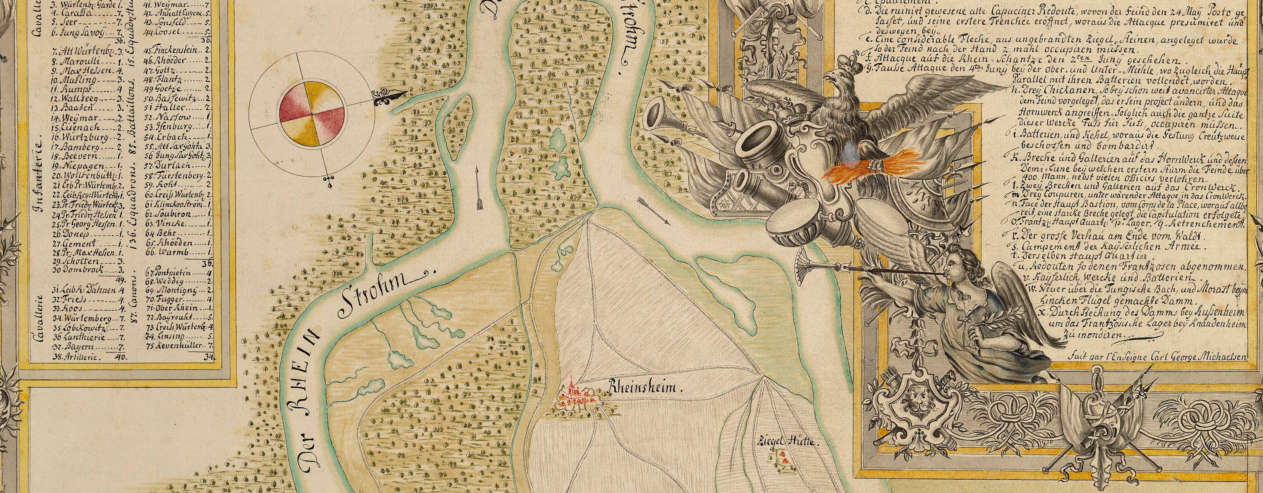
Map of the Rhine, 1735
1735 or laterPencil, pen, ink and watercolour on paper; laid down on paper | Scale: 1:575,000 approx. | RCIN 727069
The map extends from Bingen (Bingen am Rhein 49°58ʹ00ʺN 07°53ʹ57ʺE) in the north-west to Ettlingen (48°56ʹ27ʺN 08°24ʹ27ʺE) in the south.
Additional text: [bottom left, in cartouche representing a ruined stone plinth, decorated, top, with the accoutrements of war, with plants growing out of the side, and with a reclining Roman soldier, a key, 1-39, giving the place-names and the names of the regiments stationed there, together with the numbers of the battalions or squadrons of each.]
Condition: two fold lines.
Anonymous (cartographer)
Subject(s)
Army-AustriaArmy-GermanyWatermark: Map, cropped: horn in shield, a ‘4’ below and the letters I V G. Backing paper: same watermark?
Mark, stamped: 255
Condition: two fold lines
Scale: 1:575,000 approx. Scale bar: [42 mm = ] 5 Stunden.
19.6 x 16.0 cm (neatline)
19.9 x 16.4 cm (image)
21.9 x 17.1 cm (sheet)
Manuscript title:
PLAN der Postirung, Kaÿserlichen Seiten am = Rhein, / Mense Aug[t]: 1735. [top, in banner cartouche]
Additional text:
[bottom left, in cartouche representing a ruined stone plinth, decorated, top, with the accoutrements of war, with plants growing out of the side, and with a reclining Roman soldier, a key, 1-39, giving the place-names and the names of the regiments stationed there, together with the numbers of the battalions or squadrons of each.]
Annotations:
George III heading: Cantonments on the Rhine in 1735. Other annotations: (Recto) none. (Verso) [bottom left, obscured by paper backing, ink or black pencil:] 15.
George III catalogue entry:
Rhine Plan der Postirung Kayserlichen Seiten am Rhein, mense Augusti 1735. drawn. [The same entry appears under the heading Cantonment.]


