War of the Polish Succession (1733-8)
The Rhine and Moselle rivers and parts of Italy
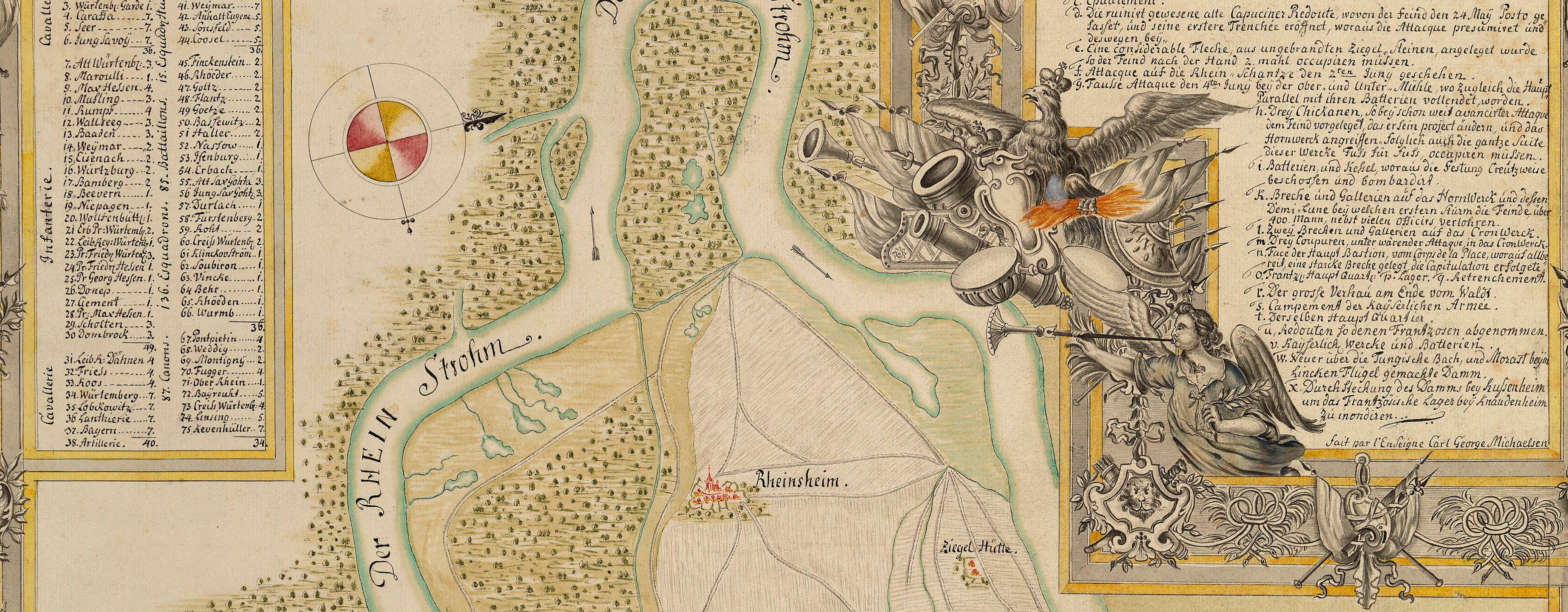
Siege of Philippsburg, 1734
LA VERITABLE DESCRIPTION DU SIÊGE DE PHILIPSBOURG par les FRANÇOIS Depuis le Mois de Juin 1734. Leurs très forts Retrenche- / ments ou Ligne de Circonvalation autour de leur Armée, l’Action de l’investir, et les...
1734 or laterEtching and engraving; printed on paper | Scale: not stated. 1:38,000 approx. | RCIN 727056
This map shows a more generalised outline for the fortress; the French encampments are depicted in profile, while the Imperial camp is shown by rectangles. A cheval de frise (the ‘Bois Coupé’) is engraved where, in Schultz's map at RCIN 727054, there is an extension of the fortified lines.
Additional text: [top left, a key, A-H to the positions and attacks of the French army, and to the positions and batteries of parts of the Imperial army.]
Condition: one fold line. Verso: some offsetting, perhaps from another copy of the same map, left in a pile soon after printing; bottom, right of centre, shadow and ghosting from the removal of Cumberland's cipher label on verso.
Hendrik de Leth (1703-66) (publisher) [top, following on from title:] le tout exactement observé et / Dessiné par un tres habile Ingenieur de l’Armée et presenté au publicq par HENRI DE LETH à AMSTERDAM.
Watermark: None visible
Condition: one fold line. Verso: some offsetting, perhaps from another copy of the same map, left in a pile soon after printing; bottom, right of centre, shadow and ghosting from the removal of Cumberland's cipher label on verso
Scale: not stated. 1:38,000 approx.
46.0 x 49.0 cm (image)
47.6 x 50.6 cm (platemark)
41.7 x 48.3 cm (neatline)
54.2 x 65.1 cm (sheet)
Printed title:
LA VERITABLE DESCRIPTION DU SIÊGE DE PHILIPSBOURG par les FRANÇOIS Depuis le Mois de Juin 1734. Leurs très forts Retrenche- / ments ou Ligne de Circonvalation autour de leur Armée, l’Action de l’investir, et les Attaques par les Imperiaux sous la conduite du Prince Eugene de Savoye, … [above map, in rectangular panel]
Additional text:
[top left, a key, A-H to the positions and attacks of the French army, and to the positions and batteries of parts of the Imperial army.]
Annotations:
George III heading: Philipsbourg 23 May-18 July 1734.
Other annotations: (Recto) none. (Verso) [top right, black pencil:] 1734; [top right, black pencil:] 23.; [bottom right, black pencil, crossed out in black pencil:] 2; [bottom, left of centre, black pencil:] 7; [right centre, red pencil:] 7.
George III catalogue entry:
Philipsbourg Plan du Siege de Philipsbourg par les Francois depuis le mois de Juin 1734, leurs Retranchements, Ligne de Circonvalation et les Attaques des Imperiaux sous le Prince Eugene: chez H. de Leth.
Subject(s)
Philippsburg, Baden-Württemberg, Germany (49°13ʹ54ʺN 08°27ʹ39ʺE)


