War of the Polish Succession (1733-8)
The Rhine and Moselle rivers and parts of Italy
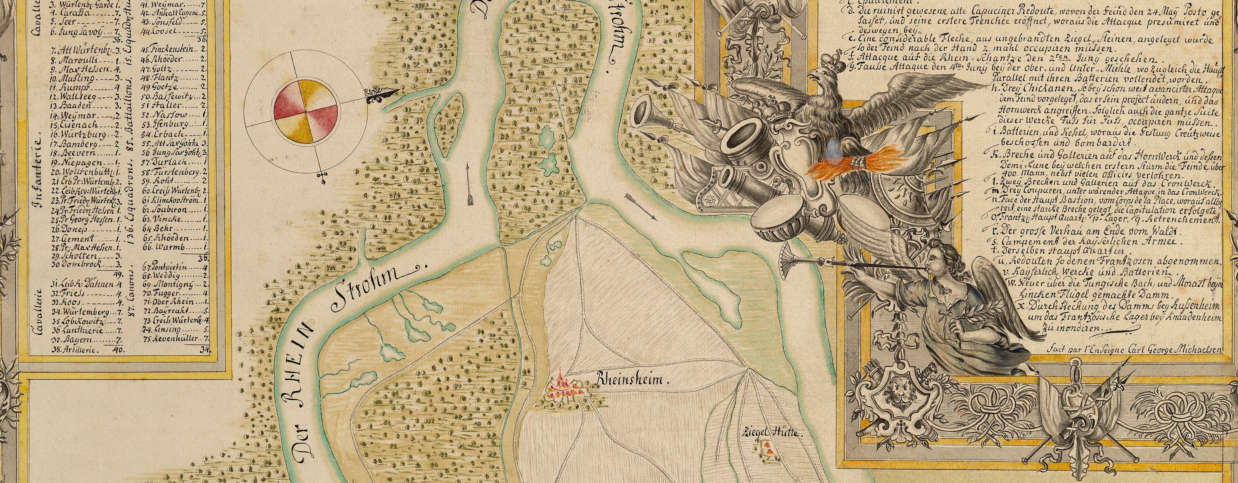
Map of the Rhine, Ettlingen and Mühlberg, 1735 (Ettlingen, Baden-Württemberg, Germany) 48°56ʹ27ʺN 08°24ʹ27ʺE; (Mühlberg, Baden-Württemberg, Germany (49°00ʹ46ʺN 08°21ʹ33ʺE)
1735 or laterPencil, pen, ink and watercolour on two sheets of paper, previously joined; laid down on coarse linen | Scale: 1:21,400 approx. | RCIN 727065
A detailed map showing the fortified lines constructed by the army of Charles VI against the French during the winter of 1733-4 from the Rhine along the Alb River and the Malscher Landgraben. Particular attention is paid to fluvial features, and the extent of flooding to be expected in the river valleys, and to the depiction of the rises of the river terraces which are depicted with painterly brushstrokes. Settlements and the local route network are shown in detail; the straight line of the ‘Rastadter Allee Weg’ is today route 3 between Rastatt and Mühlberg.
The attribution to Schultz is made on stylistic grounds. Schultz has drawn this map in what appears to be his most polished style which is marked by a combination of Gothic and cursive lettering, the uppercase lettering of the word ‘Inondation’ which appears in several places along the floors of the valleys, being rendered in a style reminiscent of Dutch seventeenth-century maps.
Additional text: [right, down right side of map, below title, a key, 1-47, giving a description of the strength of the redoubts etc., along the fortified lines, and other observations about the terrain; the key is continued, top left, in a rectangular panel, 48-82.]
Condition: two fold lines. Verso: induced discolouration; brown discolouration; black ink marks; bottom, right of right fold, waterstained patch and fragment of paper from the removal of Cumberland's cipher label.
? George Augustus Schultz (active 1734-49) (draughtsman)
Subject(s)
Army-AustriaWatermark: Fleur-de-lys in shield, crown above, ‘4’ above the letters LVG, below; countermark: IV
Mark, stamped: 251
Condition: two fold lines. Verso: induced discolouration; brown discolouration; black ink marks; bottom, right of right fold, waterstained patch and fragment of paper from the removal of Cumberland's cipher label
Scale: 1:21,400 approx. Scale bar: [159 mm =] 1000 frantz: [Schuh].
39.3 x 104.7 cm (image)
38.3 x 93.2 cm (neatline)
39.4 x 106.5 cm (sheet)
Manuscript title:
RENVOY des LIGNES / depuis le Rhein jusqu’au Sommer- / berg, qui est la premiere Hauteur / de la Forest noire, et delà par la dite / Forest jusqu’à Mittelberg. [top right, in rectangular panel]
Additional text:
[right, down right side of map, below title, a key, 1-47, giving a description of the strength of the redoubts etc., along the fortified lines, and other observations about the terrain; the key is continued, top left, in a rectangular panel, 48-82.]
Annotations:
George III heading: Lines on the Rhine in 1735.
Other annotations: (Recto) none. (Verso) [top, right of right fold, indistinct and obscured by white paper strip:] Rhine; [top, right of white paper strip, obscured by linen backing, ink:] 12; [top right, black pencil:] 1735 [and] XXII [and] 29; [bottom, left of right fold line, black pencil:] 13; [bottom, right of left fold line, black pencil:] 9.
George III catalogue entry:
Lines Plan dessiné des Lignes depuis le Rhin jusqu’au Sommerberg qui est la premiere hauteur de la Forest Noire, et de la par la dite Forest jusqu’au Mittelberg, 1735: par M. Schultz, 1735. 2 feuilles. [The same entry appears under the heading Rhine.]
Subject(s)
Ettlingen, Baden-Württemberg, Germany (48°56ʹ27ʺN 08°24ʹ27ʺE)
Mühlberg, Baden-Württemberg, Germany (49°00ʹ46ʺN 08°21ʹ33ʺE)


