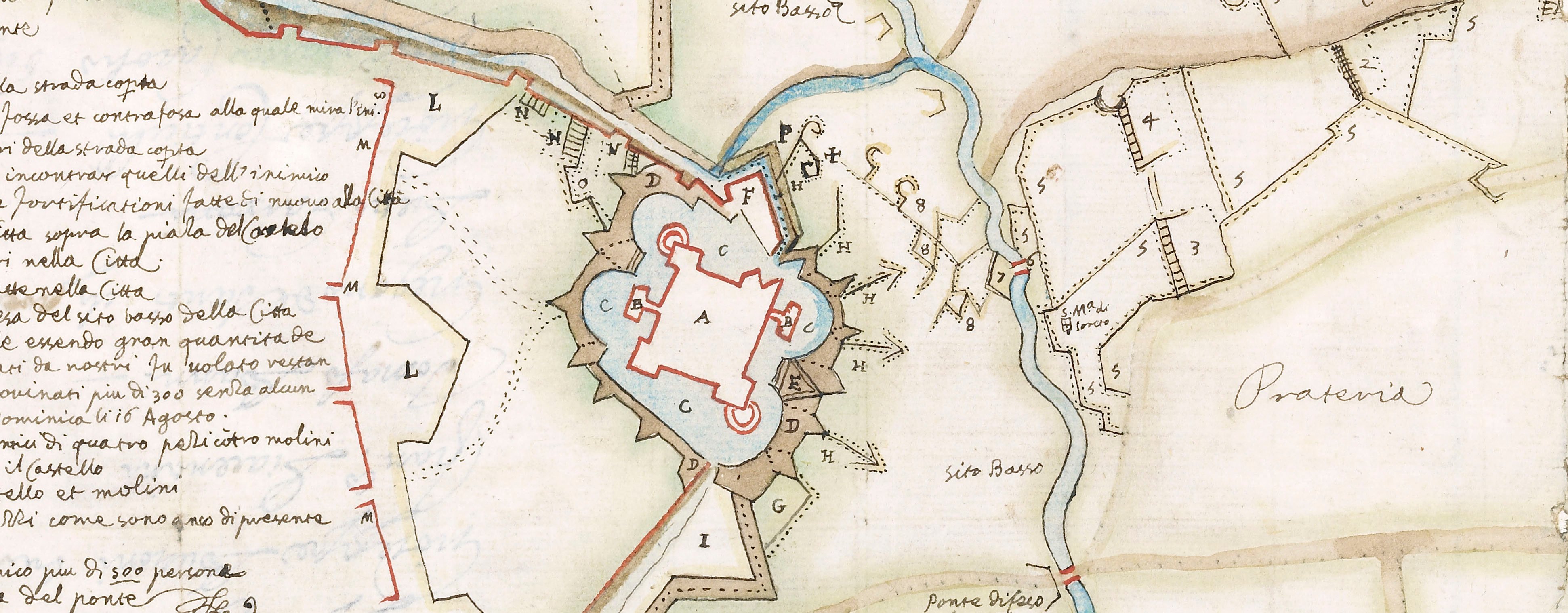
Contemporary maps and prints of the major battles and sieges from 1635 to 1658
Siege of Damvillers, 1637 (Damvillers, Lorraine, France) 49°20ʹ37ʺN 05°24ʹ04ʺE
published 1638Letterpress text; printed on paper; mounted on paper (mount cropped, type not known) | 27.5 x 20.7 cm (sheet) | RCIN 722114.b
Letterpress text to the map of the siege of Damvillers, 1637 at RCIN 722114.a. Thirty Years War (1618-1648) and Franco-Spanish War (1635-1659).
Melchior Tavernier (1594-1665) (publisher) [bottom of text:] A PARIS, / Chez MELCHIOR TAVERNIER, Graueur & Imprimeur du Roy pour les Cartes Geographi- / ques, Marines & Tailles-douces, demeurant en l’Isle du Palais, à la Sphere Royalle. 1638.
Subject(s)
Army-FranceArmy-SpainWatermark: Text: none. Mount: none.
Condition: no fold lines; brown discolouration; small tear to left edge
27.5 x 20.7 cm (sheet)
29.6 x 22.5 cm (mount)
Printed title:
Table pour l’explication du Plan & Siege de Danvillers assiegée par Monsieur le Mareschal / de Chastillon le premier iour de Septembre mil six cents trente-sept, & pris / le vingt-cinquiesme iour d’Octobre suiuant.
Annotations:
George III heading: Damvillers 1 Sep. 25 Oct. 1637
Other annotations: none.
George III catalogue entry:
Damvillers Plan du Siege de Damvillers par le Mareschal de Chastillon, depuis le 1.er de Sept.re jusqu’au 25 d’Oct.re 1637: avec un Plan de la Ville et une Carte topographique des Environs et autres places du Luxembourg assiegées et prises par le Mareschal de Chastillon depuis le mois de Juillet jusqu’a la fin d’Octobre 1637: chez Tavernier, 1638. 4 feuilles.
Subject(s)
Damvillers, Lorraine, France (49°20ʹ37ʺN 05°24ʹ04ʺE)
Bibliographic reference(s)
M. McDonald, The Print Collection of Cassiano dal Pozzo. Part II, Architecture, Topography and Military Maps, 3 vols, London 2019, cat. no. 3015
Page revisions
23 May 2024
Current version


