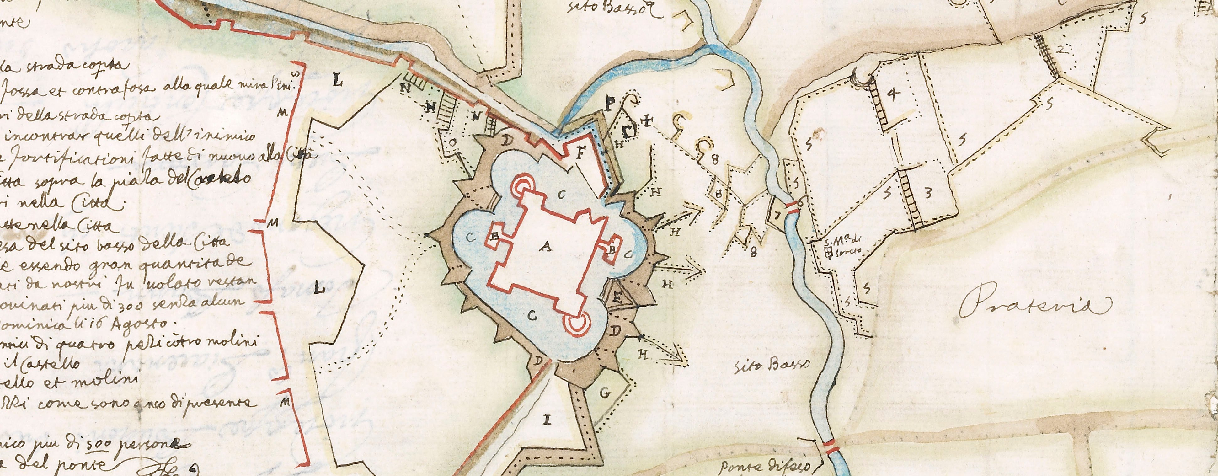
Contemporary maps and prints of the major battles and sieges from 1635 to 1658
Siege of Turin, 1640 (Turin, Piedmont, Italy) 45°04'13"N 07°41'12"E
1640 or laterLetterpress text printed on paper; mounted on paper (mount cropped, Type not known) | 38.0 x 51.1 cm (sheet) | RCIN 722150.b
Letterpress text accompanying the view of the siege of Turin, 1640, at RCIN 722150.a. Franco-Spanish War (1635-1659).
Giovanni Battista Malatesta (active 1635-50) (publisher) [bottom centre of text:] IN MILANO, Per Gio. Battista Malatesta, Stampatore Regio Camerale. Con licenza de Superiori, & Priuilegio.
Subject(s)
Army-FranceArmy-SpainWatermark: A hand with a flower?
Condition: one fold line. Verso: remains of mount
38.0 x 51.1 cm (sheet)
Printed title:
DISEGNO DELL’ ASSEDIO DI TORINO / DEL CAPITAN FRANCESO PRESTINO.
Annotations:
George III heading: Turin 1640.
Other annotations: none.
George III catalogue entry:
Turin Disegno dell’Assedio di Torino 1640, dal Capitan Francesco Prestino, intagliata da Cesare Bassani. [with a Description, 1640.]
Subject(s)
Turin, Piedmont, Italy (45°04'13"N 07°41'12"E)
Bibliographic reference(s)
M. McDonald, The Print Collection of Cassiano dal Pozzo. Part II, Architecture, Topography and Military Maps, 3 vols, London 2019, cat. no. 3068
Page revisions
23 May 2024
Current version


