French Revolutionary Wars (1792-1802)
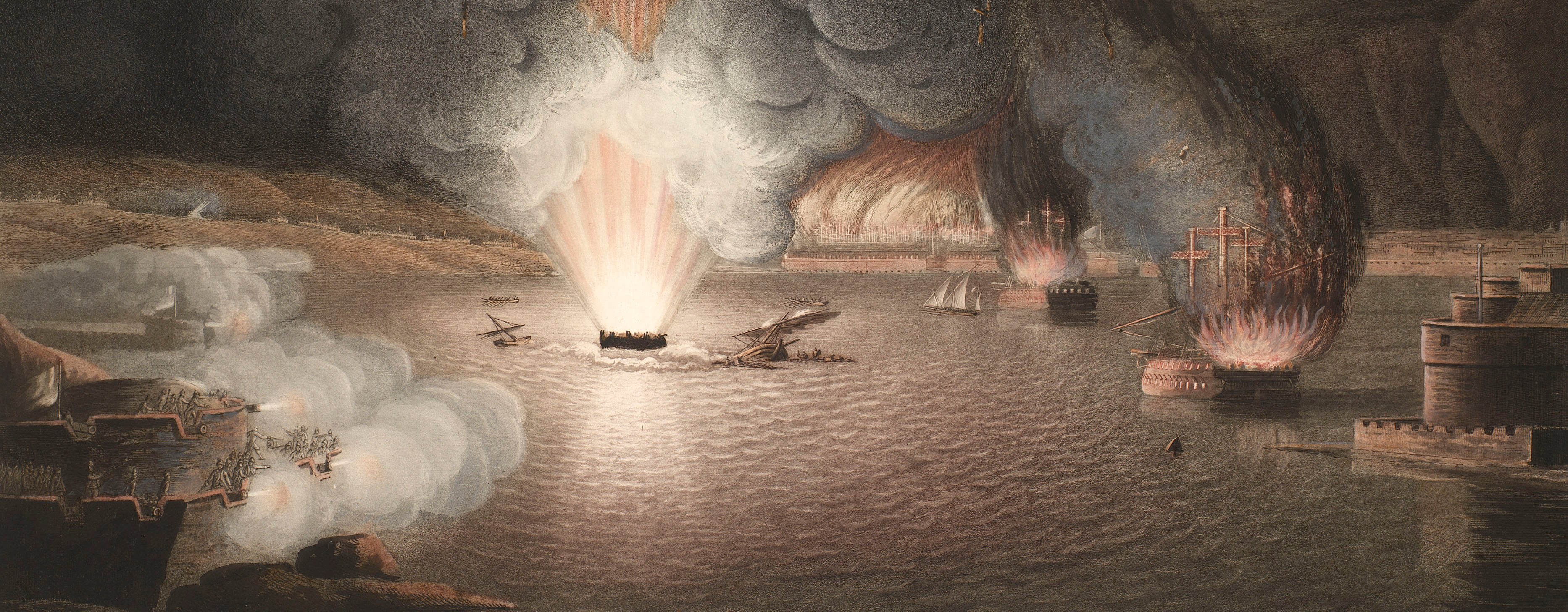
Maps and prints of naval engagements collected by George III during the decade of war
Map of the Battle of Kaiserslautern, 1794 (Kaiserslautern, Rhineland-Palatinate, Germany) 49°27'00"N 07°45'00"E
c.1794Etching and engraving with letterpress text, printed on the same sheet of paper; hand coloured; a flap, showing different details, printed from a separate plate on separate sheet of paper is pasted to the base map | Scale: 1:87,500 approx. | RCIN 735029
An engraved and hand-coloured key to the different colours used to distinguish between the cavalry and infantry of the Prussian, Austrian, Bavarian, Hesse-Darmstadt and French armies, is bottom right of the map. The Prussian troops are shown in blue and light red, the Austrians are in yellow and deep orange, the Bavarians in light sea green and light orange, and the Hesse-Darmstadt infantry are in pale lilac; the French are in brown and leaf green. A flap on which is engraved the different positions of the troops is pasted to the base map to the east of Kaiserslautern. The routes taken by the regiments between various positions are engraved with a pecked line and hand coloured according to which army is being represented.
Additional text: [bottom, below map, letterpress, descriptive keys, a-i, k-l and A-G, I, L-N, to the movements and actions of the troops:] EXPLICATION / Affaire de la nuit du 17 au 18 et de la journée du 18.
Condition: two fold lines. Verso: some surface dirt to top edge.
Chevalier de Blumenstein (active 1794-1801) (cartographer) [bottom left, below neatline of map:] Dressé par le Ch.er de Blumenstein capitaine ingenieur au Service de S.M. Prussienne.
Anonymous (engraver) [bottom right, below neatline of map:] Gravé par le Cte. Fr. de Ch:g.
Subject(s)
Army-PrussiaArmy-BavarianArmy-Hesse DarmstadtArmy-AustriaArmy-FranceWatermark: Dutch lion holding, in left paw, a stake on which is balanced a hat, in right paw a bunch of arrows, standing on a plinth on which is written ‘VRYHEYT’; all in double circle in which appear the words ‘PROPATRIA EIUSQUE LIBERTATE’; a crown above. Countermark: C & I HONIG.
Condition: two fold lines. Verso: some surface dirt to top edge
Scale: 1:87,500 approx. Scale bar: Echelle de 10000 pas ordinaires ou 4,000 toises [89 mm =]
31.8 x 67.1 cm (image and neatline of map)
33.9 x 68.6 cm (platemark)
58.0 x 78.4 cm (sheet)
Printed title:
PLAN / DE LA BATAILLE / donnée le 20 Septembre 1794 entre l’armée / combinée sous les ordres du Prince héréditaire / de Hohenlohe-jngelfingen et l’armée / française aux ordres du General Meynier, / et des combats des jours précédents. [top right, in cartouche representing a scroll on which, top right, perches an eagle with an olive wreath in its beak]
Additional text:
[bottom, below map, letterpress, descriptive keys, a-i, k-l and A-G, I, L-N, to the movements and actions of the troops:] EXPLICATION / Affaire de la nuit du 17 au 18 et de la journée du 18.
Annotations:
George III heading: Battle of Kayserslautern 20 Sep. 1794.
Other annotations: none.
George III catalogue entry:
Kayserslautern Plan de la Bataille de Kayserslautern donnée le 20 Sept.re 1794 entre l’Armée combinée sous les ordres du Prince Hereditaire de Hohenlohe-Ingelfingen et l’Armée Française aux ordres du General Meynier: et des Combats des jours precedents: par le Chev.r de Blumenstein: avec une Explication.
Subject(s)
Kaiserslautern, Rhineland-Palatinate, Germany (49°27'00"N 07°45'00"E)
Page revisions
21 May 2025
Current version


