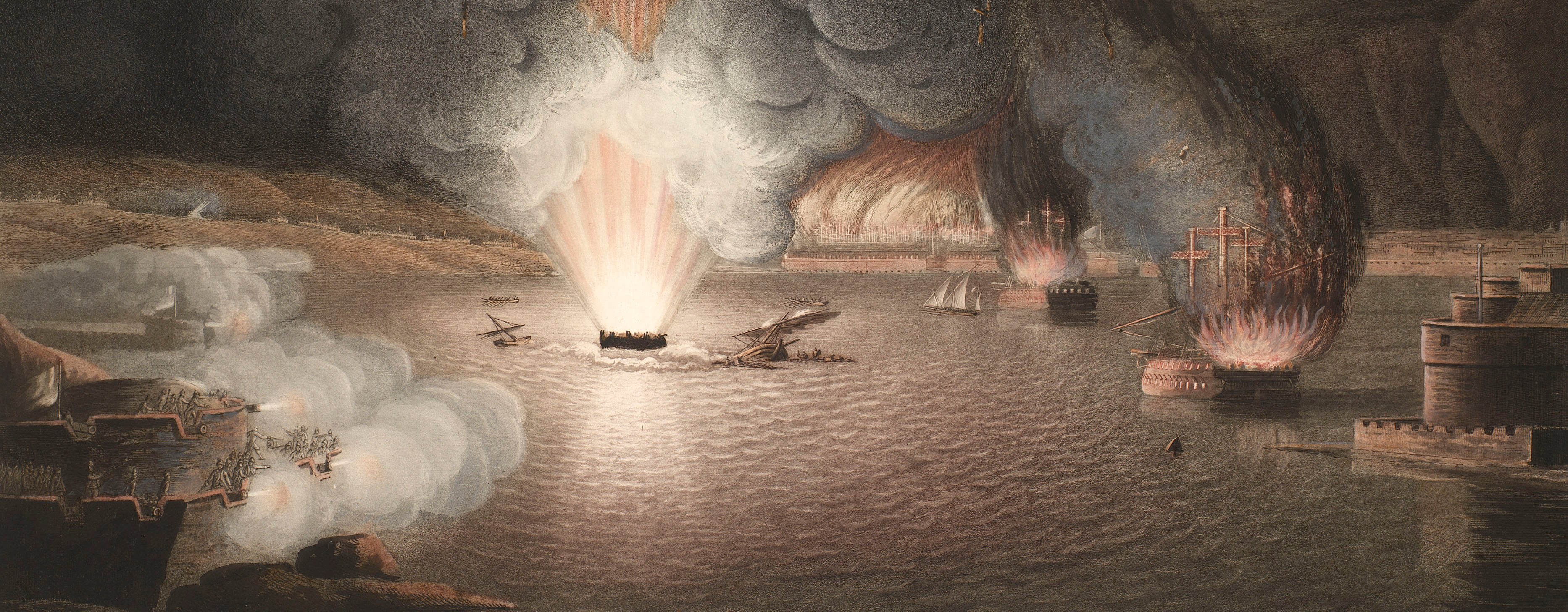
French Revolutionary Wars (1792-1802)
Maps and prints of naval engagements collected by George III during the decade of war
Map of Broadwater Common, 1793 (Broadwater Common, East Sussex, UK) 51°07'00"N 00°13'07"E
published 1793Etching and engraving; printed on paper; hand coloured | Scale: 1:63,360. | RCIN 735015.b
Thomas Gream, the surveyor of this map, was from 1789 to 1792 a Board of Ordnance draughtsman at the Tower of London Drawing Room. He was, with Willam Gardner and Thomas Yeakell (both were formerly employed as surveyors to the Duke of Richmond, the Master-General of the Ordnance, before becoming Chief Draughtsmen in the Board of Ordnance Drawing Room), the surveyor of a map of the county of Sussex at the scale of one-inch to a mile which was published in 1795. Thomas Foot, the engraver of this map of the Broadwater camp, became principal engraver to the Board of Ordnance in 1801.
It is notable that this map was published just three weeks after the camp commenced, at the same scale as the later, 1795, map of Sussex by Gream, Yeakell and Gardner which, like this map, was also published by Faden and engraved by Thomas Foot. It may be that the area covered by this encampment had already been surveyed and engraved and that the Sussex map provided the source materials for this encampment map.
A description of the camp in the London Times 26 June 1793 reads as follows: 'The arrangements made for the formation of the Grand Camp near Tunbridge, are nearly finished. The spot is called Broadwater, at the distance of one mile and a half from the Wells. Two regiments are expected on Monday next [1 July], and afterwards two more will march in until the Camp is completed in its numbers. The names of the Regiments of Militia are the East Middlesex, West Middlesex, North Devon, South Devon, North Hants, Oxford, Sussex, West Essex, Dorset, Berkshire, West Suffolk, Norfolk; besides five Regiments of Cavalry, a Park of Artillery, and a Corps of Horse Artillery, mounted on a new plan. // About the 6th of August this Camp will move to Ashdown Forest, where they are to rest a few days on their way to Wick, near Brighton, where it will remain at least a fortnight, and then return to Broadwater for the remainder of the Summer.'
The map extends, at its furthest points, from Cowden (East Sussex, 51°08'41"N 00°05'36"E) in the north to Maresfield (East Sussex 50°59'50"N 00°05'15"E) in the south, and from West Hoathly (West Sussex 51°04'18"N 00°03'00"W) in the west to Tunbridge Wells (Kent 51°07'56"N 00°15'48"E).
Condition: one fold line; slight surface dirt. Verso: induced discolouration.
William Faden (1 July 1749-21 March 1836) (publisher) [bottom left, following on from title:] Surveyed by THO.S GREAM, / Published by W. Faden, Geog.r to His Majesty; / and to His R.H. the Prince of Wales; / Charing Cross July 21.st 1793.
Thomas Foot (active 1790-1825) (engraver) [bottom right, below edge of border:] T. Foot Sculp.
Thomas Gream (active 1789-1792) (surveyor)
Watermark: None
Condition: one fold line; slight surface dirt. Verso: induced discolouration
Scale: 1:63,360. Scale bar: Scale of One Inch to a Mile [99 mm =].
26.5 x 38.3 cm (neatline)
27.3 x 38.9 cm (image)
30.4 x 41.3 cm (platemark)
33.6 x 44.8 cm (sheet)
Printed title:
A Plan shewing the Situation of the / CAMP ON BROADWATER COMMON, / Waterdown Forest near Tunbridge Wells; / with the relative Position of / ASHDOWN FOREST and the ADJACENT COUNTRY. [bottom left]
Annotations:
George III heading: Encampment on Broadwater Common 1793.
Other annotations: none.
George III catalogue entry:
Encampment A Plan shewing the situation of the Camp on Broadwater Common Waterdown Forest, near Tunbridge Wells, 1793: with the relative position of Ashdown Forest and the adjacent Country surveyed by Tho.s Gream, published by Faden, 1793. [The same entry appears under the heading Broadwater Common.]
Subject(s)
Broadwater Common, East Sussex, UK (51°07'00"N 00°13'07"E)
Page revisions
5 June 2024
Current version


