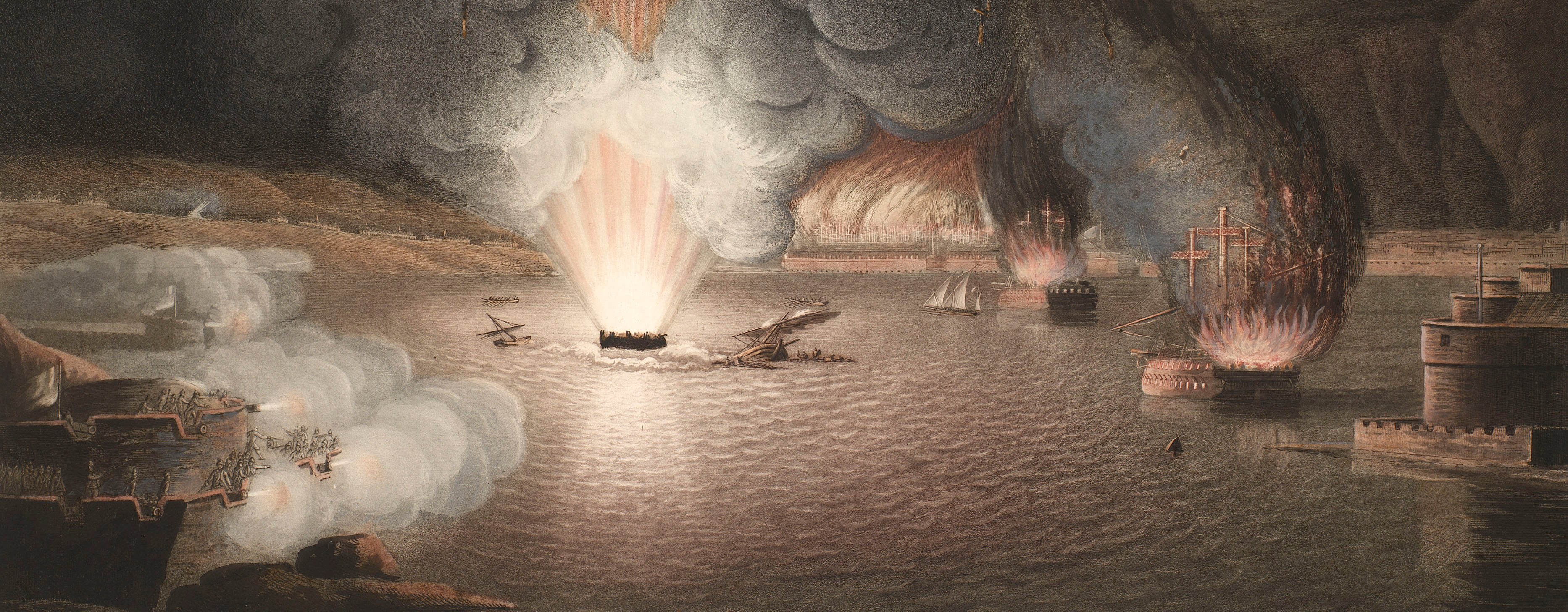
French Revolutionary Wars (1792-1802)
Maps and prints of naval engagements collected by George III during the decade of war
Kehl, 1796-7 (Kehl, Baden-Württemberg, Germany) 48°34'22"N 07°48'54"E
published 1798Etching and engraving; printed on paper; hand coloured | 15.0 x 27.5 cm (image) | RCIN 735045.b
Condition: no fold lines.
Christian von Mechel (4 April 1737-11 April 1817) (publisher)
Austrian military engineers (surveyor)
Kaiser (active 1798) (engraver)
Subject(s)
Army-AustriaArmy-FranceWatermark: Crowned monogram of two back to back C's with Heawood 2879 below
Condition: no fold lines
15.0 x 27.5 cm (image)
18.7 x 29.5 cm (platemark)
21.3 x 33.5 cm (sheet)
Printed title:
PAPILLON / pour / Le Plan du Siège de Kehl [centre, below papillon]
Annotations:
(Recto) [bottom left, black pencil, in a modern hand:] CMB Jan '87 [i.e. 1987]. (Verso) none.
George III catalogue entry:
Kehl Plan detaillé des Attaques et de la Defense de la Ville et du Fort de Kehl, et du Camp retranché des François plus de la Ligne de Contrevallation de l'Armée assiegante aux ordres du Comte de Latour depuis le commencement d'Octobre 1796 jusqu'au 9 Janvier 1797 que les Francois rendirent le Fort et la Ville par capitulation: gravé par Kaiser, chez Ch. de Mechel, 1798. (V. 3 p.221_1. V. 4 p. 159)
Subject(s)
Kehl, Baden-Württemberg, Germany (48°34'22"N 07°48'54"E)
Page revisions
25 May 2024
Current version


