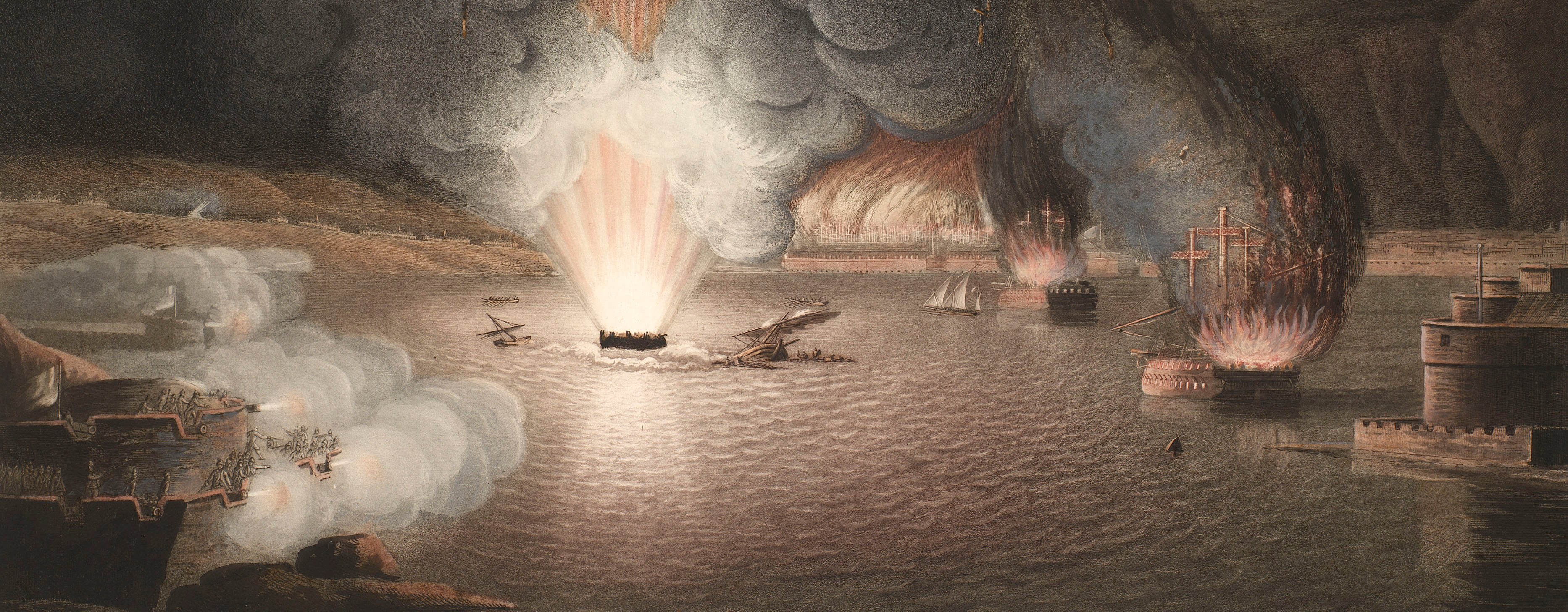
French Revolutionary Wars (1792-1802)
Maps and prints of naval engagements collected by George III during the decade of war
Map of Dunbar, 1795 (Dunbar, East Lothian, Scotland, UK) 56°00'02"N 02°30'51"W
1795 or laterPen, ink and watercolour on paper | Scale: 1:18,000. | RCIN 735033.b
The encamped regiments are: 1st and 2nd battalions of the Scotch Brigade; IVth Regiment of Dragoons.
From Plans of the Encampments form'd in North Britain in 1795; see RCIN 735033.
Condition: no fold lines.
R.R. Campbell (active 1795-1802) (draughtsman)
Subject(s)
Army-GBWatermark: None
Mark, stamped: 1082
Condition: no fold lines
Scale: 1:18,000. Scale bar [on title page:] [91 mm =] 1800 Yards.
25.1 x 37.6 cm (neatline)
30.5 x 42.0 cm (image)
34.6 x 46.4 cm (sheet)
Manuscript title:
PLAN of DUNBAR [bottom centre, in simple elongated oval cartouche]
Manuscript title:
Pl: II [top centre, above border]
Annotations:
None
George III catalogue entry:
Scotland Three drawn Plans, with the Disposition of the Encampments formed in North Britain under the command of Lord Adam Gordon: by Lieut. R.R. Campbell. [The same entry appears under the heading Encampments.]
Subject(s)
Dunbar, East Lothian, Scotland, UK (56°00'02"N 02°30'51"W)
Page revisions
25 May 2024
Current version


