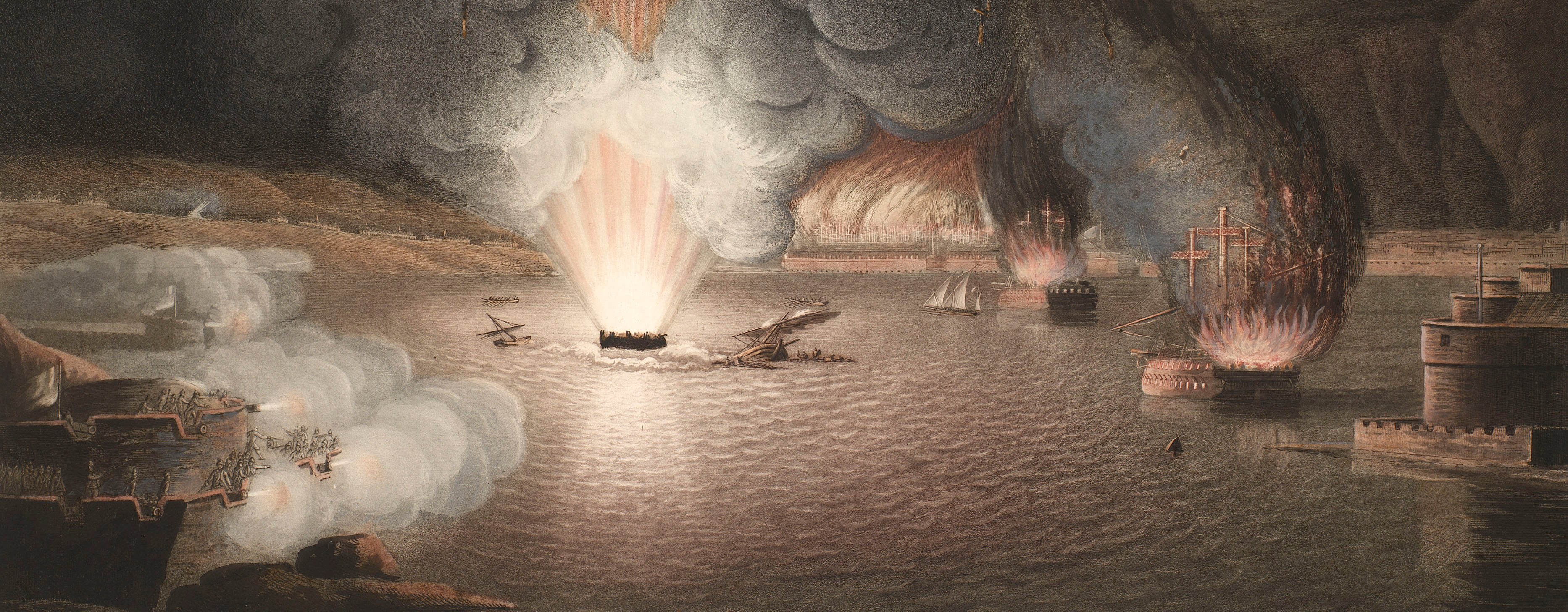
French Revolutionary Wars (1792-1802)
Maps and prints of naval engagements collected by George III during the decade of war
Map of Saarburg and Trier, 1793-4 (Saarburg, Rhineland-Palatinate, Germany) 49°36'00"N 06°33'00"E; (Trier, Rhineland-Palatinate, Germany) 49°45'20"N 06°38'21"E
1796 or laterEngraving and etching; printed on paper; hand coloured | Scale: 1:86,000 approx. | RCIN 735011
A coloured key to the German and French camps (‘Lager’) is engraved top left, outside border. German troops are represented in red and French in blue. This is a detailed topographical map of the Mosel from Schweig (i.e. Schweich, Rhineland-Palatinate 49°49'19"N 06°45'09"E) in the north to Boltzen (i.e. Palzem, Rhineland-Palatinate 49°34'01"N 06°22'00"E) in the south, and the adjacent regions.
The engraver of this map, Felsing, became Hof Kupfersticher in 1796, so the engraving of this map dates from that year at the earliest. See: Thieme and Becker vol. XI (1955) p.377.
Additional text: [top right, outside border:] Preis 2 [?] 45 Kr.
Condition: one fold line; 2.7 cm tear to left side of the central fold line; 2.0 cm tear to right side of central fold line; right edge creased; brown discolouration and foxing.
Johann Conrad Felsing (1766-1819) (engraver and publisher) [top, between title and border:] Gestochen und herausgegeben von C. Felsing Hof Kupferstecher zu Darmstadt.
Subject(s)
Army-FranceArmy-GermanyWatermark: None visible
Condition: one fold line; 2.7 cm tear to left side of the central fold line; 2.0 cm tear to right side of central fold line; right edge creased; brown discolouration and foxing
Scale: 1:86,000 approx. Scale bar: [186 mm =] 20,000 Schritte; 1:43,500 approx. [179 mm =] 4,000 Toisen.
60.5 x 58.0 cm (neatline)
62.0 x 58.0 cm (image)
62.6 cm x [trimmed] (platemark)
66.5 x 58.7 cm (sheet)
Printed title:
Situations Karte von den Teutschen und Französischen Positionen in der Gegend um Trier und Saarburg im Jahr 1793 und 1794. von einem Officier von der Teutschen Armee. [top, across top of map, above border]
Additional text:
[top right, outside border:] Preis 2 [?] 45 Kr.
Annotations:
George III heading: Encampments in the Environs of Treves and Saarburg 1793-1794.
Other annotations: none.
George III catalogue entry:
Saarburg Situations Karte von den Teutschen und Franzosischen Positionen in der Gegend um Trier und Saarburg im Jahr 1793 und 1794: von C. Felsing.
Subject(s)
Saarburg, Rhineland-Palatinate, Germany (49°36'00"N 06°33'00"E)
Trier, Rhineland-Palatinate, Germany (49°45'20"N 06°38'21"E)
Bibliographic reference(s)
U. Thieme and F. Becker, Allgemeines Lexikon der Bildenden Künstler von der Antike bis zur Gegenwart, vol. XI, Leipzig, 1955, p.377
Page revisions
3 November 2024
Current version


