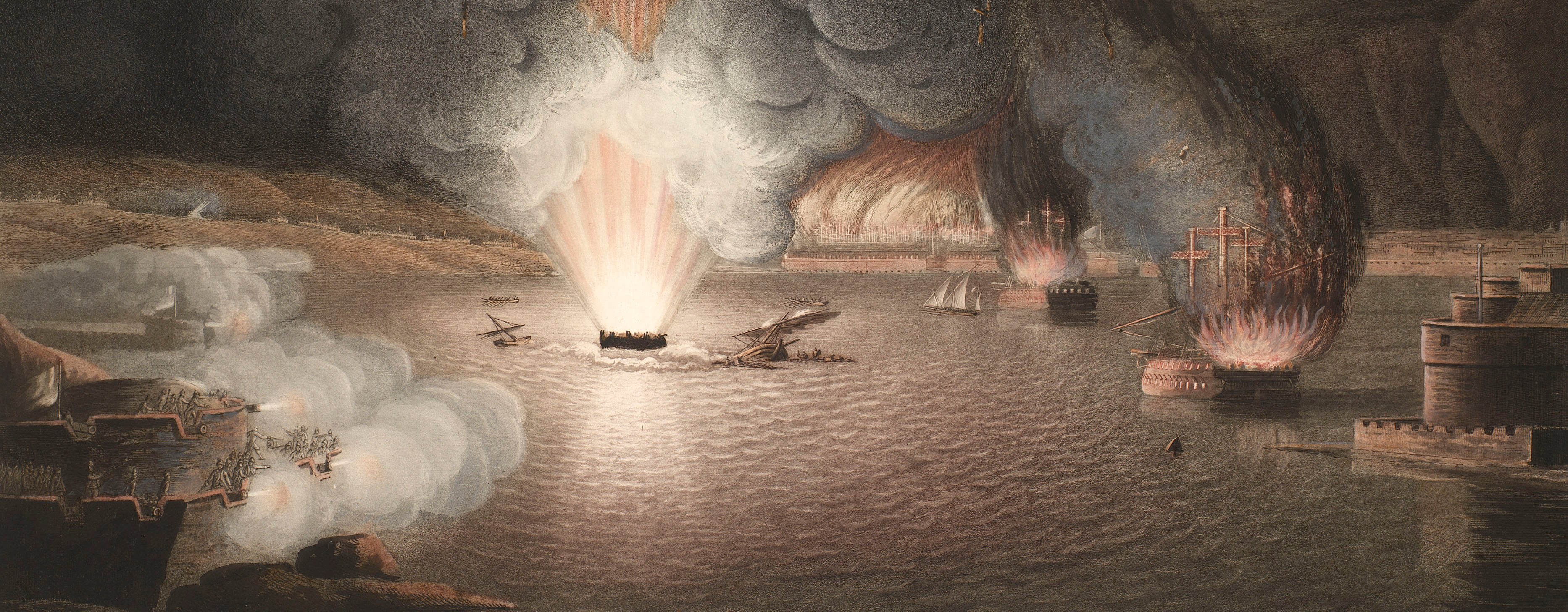
French Revolutionary Wars (1792-1802)
Maps and prints of naval engagements collected by George III during the decade of war
Map of Valenciennes, 1793 (Valenciennes, Nord-Pas-de-Calais, France) 50°21'00"N 03°32'00"E
c.1793Pencil, pen, ink and watercolour on paper | Scale: 1:50,000 approx. | RCIN 735012.a
This map shows the positions of the Allied army after the Battle of Famars or Valenciennes, 23 May 1793 which was an Allied victory (Austria, Prussia, Britain, and Netherlands). The Allies conducted a series of sieges of the main French fortifications, of which Valenciennes was one. The fortified French camp, shown here on the plateau of Famars, was manned by about 25,000 troops. The Allies were commanded by the Austrian general, Prince Frederick Josias of Saxe-Coburg-Saalfeld (1737-1815); the Austrians were commanded by General Joseph Jean François de Ferraris (1726-1814), and the left column was commanded by Prince Frederick, Duke of York and Albany (1763-1827), the second son of George III. The French retreated from Famers on the night of 23-24 May, leaving the way open for the Allies to lay siege to Valenciennes.
Units 14-25 inclusive on this map are coloured yellow, and appear to comprise the Austrian troops. The field fortifications manned by the Austrians are lined in yellow. Dark red (units 26-35) appears to be used for the Left Column which included the British regiments which had been sent to join the Austrian Army, including the 11th Light Dragoons under the command of Major George Michell (c.1760-d.1846). Lighter red is used for all the other troops.
Care has been taken to represent all the communications; main roads are shown in brown, minor roads are uncoloured, and sunken roads are indicated by hachures. What appears to be a specially constructed causeway with bridging materials is shown crossing the L'Escaut [Scheldt] and the adjacent marshy lands south of Valenciennes, in the region of Fontenelle and Frith (i.e. Trith-Saint-Léger).
Additional text: [right, down right side of map, a list of the regiments, with the number of squadrons and battalions in each, present in the field, together with their locations on the map:] Renvoi. [Bottom right, a key, a-c, to the positions of the French camps and fortifications prior to 23 May; the first parallel opened on the night of 13/14 May, and the appointed places from which the bombardment of Valenciennes took place:] Nota.
Condition: no fold lines; creases consistent with the map having been rolled; slight surface dirt. Verso: heavy surface dirt, especially along left edge; brown discolouration; induced discolouration.
Anonymous (cartographer)
Subject(s)
Army-FranceArmy-Allied army (War of the First Coalition, 1792-8)Army-GBArmy-PrussiaArmy-AustriaArmy-DutchWatermark: None
Mark, stamped: 1069
Condition: no fold lines; creases consistent with the map having been rolled; slight surface dirt. Verso: heavy surface dirt, especially along left edge; brown discolouration; induced discolouration
Scale: 1:50,000 approx. Scale not stated.
20.4 x 31.8 cm (image and neatline)
21.5 x 32.7 cm (sheet)
Manuscript title:
No title
Additional text:
[right, down right side of map, a list of the regiments, with the number of squadrons and battalions in each, present in the field, together with their locations on the map:] Renvoi. [Bottom right, a key, a-c, to the positions of the French camps and fortifications prior to 23 May; the first parallel opened on the night of 13/14 May, and the appointed places from which the bombardment of Valenciennes took place:] Nota.
Annotations:
George III heading: Valenciennes, 18 May-25 July 1793.
Other annotations: none.
George III catalogue entry:
Valenciennes A drawn Plan of the Siege of Valenciennes in 1793.
Subject(s)
Valenciennes, Nord-Pas-de-Calais, France (50°21'00"N 03°32'00"E)
Page revisions
3 November 2024
Current version


