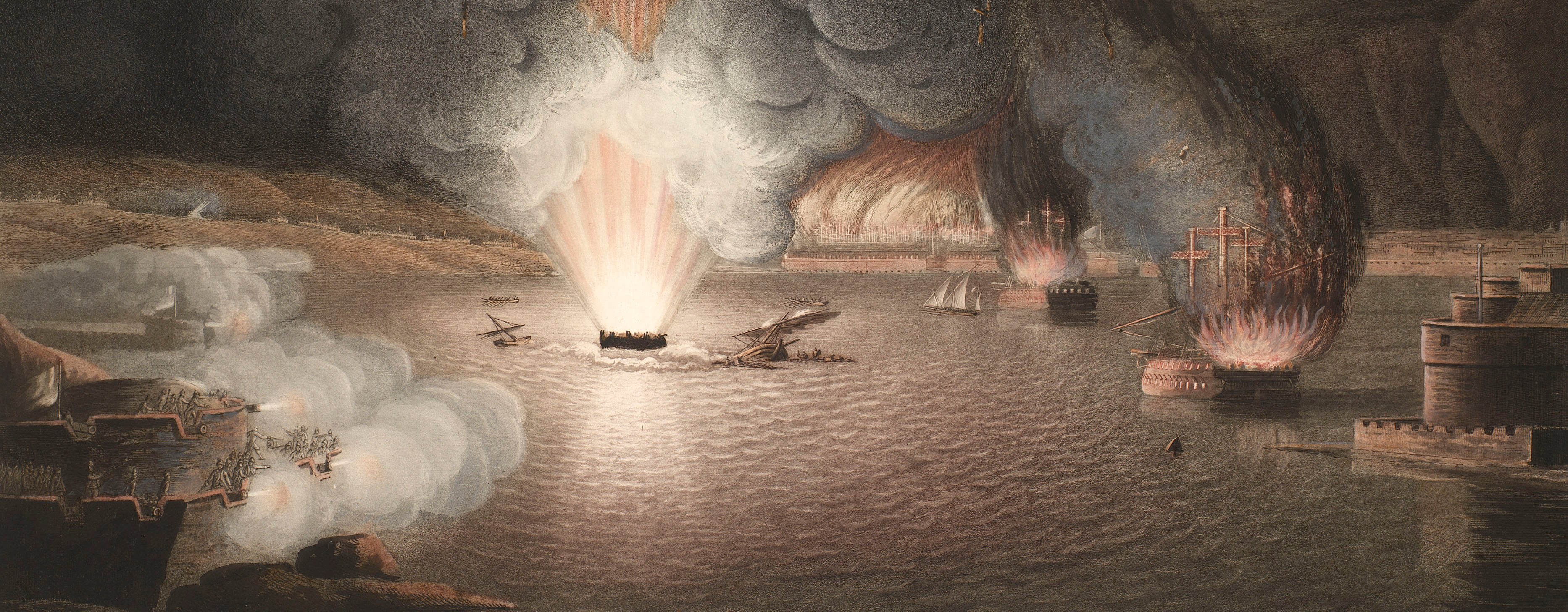
French Revolutionary Wars (1792-1802)
Maps and prints of naval engagements collected by George III during the decade of war
Map of the Battle of Mainz, 1795 (Mainz, Rhineland- Palatinate, Germany) 49°59'03"N 08°16'44"E
published 12 Apr 1796Engraving and etching; printed on paper; hand coloured | Scale: 1:47,000 approx. | RCIN 735039.b
This battle was the final stage of the siege of Mainz (14 December 1794-29 October 1795), during which the French Colonel Jean-Marie Coutelle (1748-1835), head of the aérostiers, or Company of Aeronauts, used a hot air balloon as a reconnaissance tool.
Condition: one fold line; 1.3 cm tear to left edge. Verso: strong brown discolouration to top edge; general brown and induced discolouration.
William Faden (1 July 1749-21 March 1836) (publisher) [bottom left, below edge of border:] C.D.T; [bottom centre, below edge of border:] Published by W. Faden, Charing Cross, April 12.th 1796.
Subject(s)
Army-AustriaArmy-FranceWatermark: None
Condition: one fold line; 1.3 cm tear to left edge. Verso: strong brown discolouration to top edge; general brown and induced discolouration
Scale: 1:47,000 approx. Scale bar: [100 mm =] 2400 Toises.
35.0 x 46.1 cm (neatline)
36.7 x 47.2 cm (image)
37.8 x 49.2 cm (platemark)
41.7 x 53.6 cm (sheet)
Printed title:
PLAN of the ENVIRONS of MAYENCE / with the ATTACK of the FRENCH CAMP by the AUSTRIAN ARMY / commanded by FIELD MARSHAL COUNT CLAIRFAYT. / Oct.r 29.th 1795. [top left]
Annotations:
George III heading: Mentz: 29 Oct. 1795.
Other annotations: (Recto) [top left, black pencil, erased: the old heading] (Verso) none.
George III catalogue entry:
Mentz Plan of the Environs of Mayence with the Attack of the French Camp by the Austrian Army commanded by Field Marshal Count Clairfayt 29.th Oct.r 1795: published by Faden, 1796.
Subject(s)
Mainz, Rhineland- Palatinate, Germany (49°59'03"N 08°16'44"E)
Page revisions
25 May 2024
Current version


