French Revolutionary Wars (1792-1802)
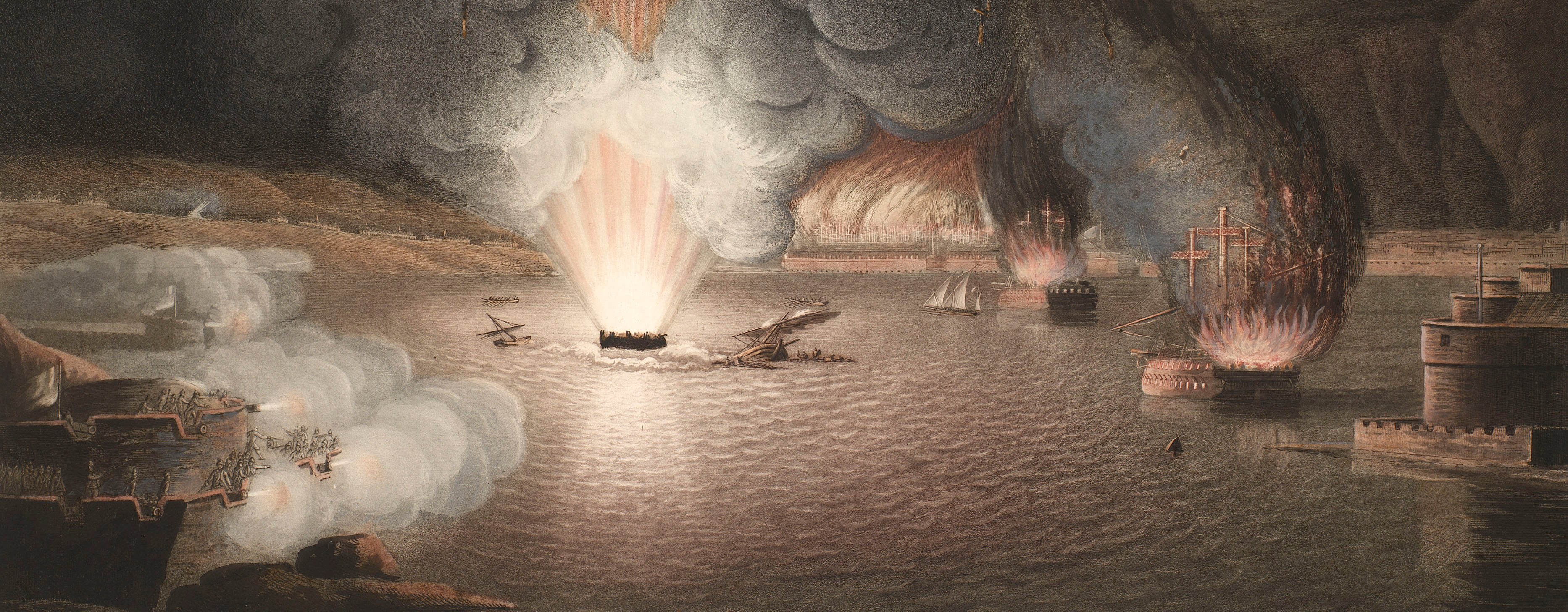
Maps and prints of naval engagements collected by George III during the decade of war
Map of Costheim and Mainz, 1795 (Mainz-Kostheim, Hesse, Germany) 50°00'18"N 08°18'48"E; (Mainz, Rhineland-Palatinate, Germany) 49°59'03"N 08°16'44"E
1795 or laterPencil, pen, ink and watercolour on paper | Scale: 1:11,500 approx. | RCIN 735039.a
A highly accomplished large-scale manuscript map of the positions of the troops of both armies at the siege of Mainz in October 1795, together with a detailed representation of the fortifications of Mainz and the field fortifications of the allies. The straight narrow double red lines leading to Mainz from Nieder Ulm (i.e. Nieder Olm), and to Cassel, appear to be new roads.
Additional text: [bottom right, in a trompe l'oeil scroll, 'pinned' to the base map, a list of the names of the bastions of the fortress of Mainz:] Namen der Bastions u. and: Schanz: v: M[ainz]
Condition: one fold line; 18.5 cm tear to left edge; surface dirt along right edge. Verso: induced discolouration; surface dirt along left and right edges.
Anonymous (cartographer)
Subject(s)
Army-AustriaArmy-FranceWatermark: C & I HONIG; countermark: IV
Mark, stamped: 1085
Condition: one fold line; 18.5 cm tear to left edge; surface dirt along right edge. Verso: induced discolouration; surface dirt along left and right edges
Scale: 1:11,500 approx. Scale bar: [7mm =] 100 Schr.
37.1 x 56.5 cm (neatline)
38.3 x 57.8 cm (image)
39.9 x 59.3 cm (sheet)
Manuscript title:
PLAN / Der Attaque auf Costheim / den 3ten October [1]795, in der Blocade / von Maynz durch ein Bataillon Jordis / eins von Olivier Wallis, und der unter Com[m]an / =do des Herrn Major v: Williams stehenden Canonier / [Chalujpen] / nebst / der Stürmung der französisch: Linien den 29ten Oct: wobei / Herr Major v: Williams den Feind in die Flanq u: Rucken / genommen, 1000 Mann ausparquirt / und Bodenheim gestürmt. [top left, in ornate rococo cartouche decorated with the artefacts of war]
Additional text:
[bottom right, in a trompe l'oeil scroll, 'pinned' to the base map, a list of the names of the bastions of the fortress of Mainz:] Namen der Bastions u. and: Schanz: v: M[ainz]
Annotations:
George III heading: Mentz 3 and 29 Oct. 1795.
Other annotations: none.
George III catalogue entry:
Mentz Plan der Attaque auf Costheim den 3.ten October 1795 in der Blocade von Maynz, nebst der Sturmung der Franzosischen Linien den 29.ten October. drawn.
Subject(s)
Mainz-Kostheim, Hesse, Germany (50°00'18"N 08°18'48"E)
Mainz, Rhineland-Palatinate, Germany (49°59'03"N 08°16'44"E)
Page revisions
6 June 2024
Current version


