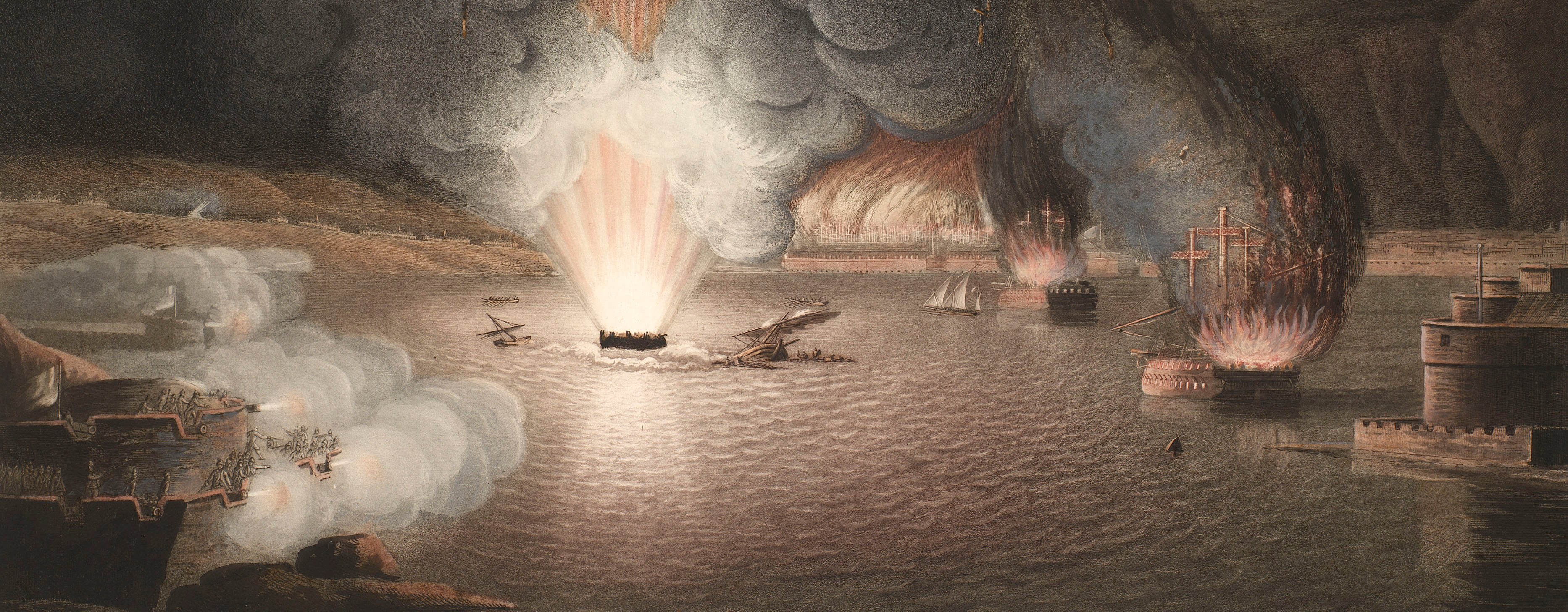
French Revolutionary Wars (1792-1802)
Maps and prints of naval engagements collected by George III during the decade of war
Map of the siege of Mainz, 1794-5 (Mainz, Rhineland-Palatinate, Germany) 50°00'00"N 08°16'16"E
1795 or laterEtching and engraving; printed on paper; hand coloured | Scale: 1:23,580 approx. | RCIN 735032.1.a
A map of the siege of Mainz, 14 December 1794-29 October 1795. French Revolutionary Wars (1792-1802): War of the First Coalition (1792-8). Oriented with north to top.
The French positions, camps, etc., are shown in red; Austrian troops are in yellow, and Reichs troops in green. The Battle of Mainz, resulting in an Austrian victory and bringing the siege to an end, was fought on the 29 October 1795, during which the French commander, Jean-Marie Coutelle, used a hot air balloon as a reconnaissance tool.
Friederich Karl Joseph was Prince Elector and archbishop of Mainz from 18 July 1774-4 July 1802, and Bishop of Worms; see: 'Friedrich Karl Joseph, Freiherr von Erthal', Catholic Encyclopedia, New York, 1913.
General Clairfait (d.1798) resigned his commission following his successful defence of Mainz in 1795; see The London Encyclopaedia: or Universal Dictionary of Science, Art, Literature and Practical mechanics, London: printed for Thomas Tegg, 1829, vol.5, p.738.
Additional text: [top left, in plain rectangular panel:] ERKLÆRUNG / der Farben. [left, down left side of map, a key, A-I, K, to the bridges, fortifications and military camps:] Erklaerung [and a list of the regiments in the Austrian army's attack under the command of General Clairfait:] Beschreibung.
Condition: four fold lines; two small tears to bottom edge; top edge is slightly creased. Verso: induced discolouration; light surface dirt.
Franz Cöntgen (active 1795) (engraver) [bottom right, below edge of border:] Gestochen v. F Cöntgen Universil: Kupferstecher in Mainz
A Gergens (active 1795) (engraver)
Johann Daniel Knoopischen (active 1795) (publisher) [bottom centre, below map border:] im Verlage der Johann Daniel Knoopischen Buchhandlung in Frankfurt am Maÿn.
Subject(s)
Army-AustriaArmy-FranceWatermark: C & I HONIG
Condition: four fold lines; two small tears to bottom edge; top edge is slightly creased. Verso: induced discolouration; light surface dirt
Scale: 1:23,580 approx. Scale bar: Maasstab von 2700. Klaftern [229 mm =].
58.5 x 60.0 cm (neatline)
60.5 x 98.5 cm (image)
trimmed (platemark)
61.0 x 100.1 cm (sheet)
Printed title:
PLAN / Der Stadt und Festung / MAINZ / Ihrer Einschliessung durch die / Franzosen und der Befreiung / durch die Deutschen unter / Clairfait / S.r Kurfürstlichen Gnaden: v: Mainz / Friederich Carl Joseph / meinem gnädigsten Kurfursten / und Herrn / Unterthänigst gewidmet / von A: Gergens / 1795. [top right, in ornate cartouche representing an irregular rock, surmounted by the coat of arms of Friedrich Karl Joseph Reichs freiherr von Erthal (1719-1802); an angel holding a book and stylus frames the left side of the cartouche while surveying instruments: an alidade on the plane table, sextant, station flags and poles, measuring chains, stand to the right and lie at the foot]
Additional text:
[top left, in plain rectangular panel:] ERKLÆRUNG / der Farben. [left, down left side of map, a key, A-I, K, to the bridges, fortifications and military camps:] Erklaerung [and a list of the regiments in the Austrian army's attack under the command of General Clairfait:] Beschreibung.
Annotations:
George III heading: Mentz 1794-1795.
Other annotations: none.
George III catalogue entry:
Mentz Plan der Stadt und Festung Mainz, ihrer einschliessung durch die Franzosen von dem Jahr 1794 bis 1795, und der befreuing durch die Deutschen unter Clairfait, den 29.ten Oct. 1795: von A. Gergens, 1795: im verlage der I.D. Knoopischen.
Subject(s)
Mainz, Rhineland-Palatinate, Germany (50°00'00"N 08°16'16"E)
Page revisions
7 June 2024
Current version


