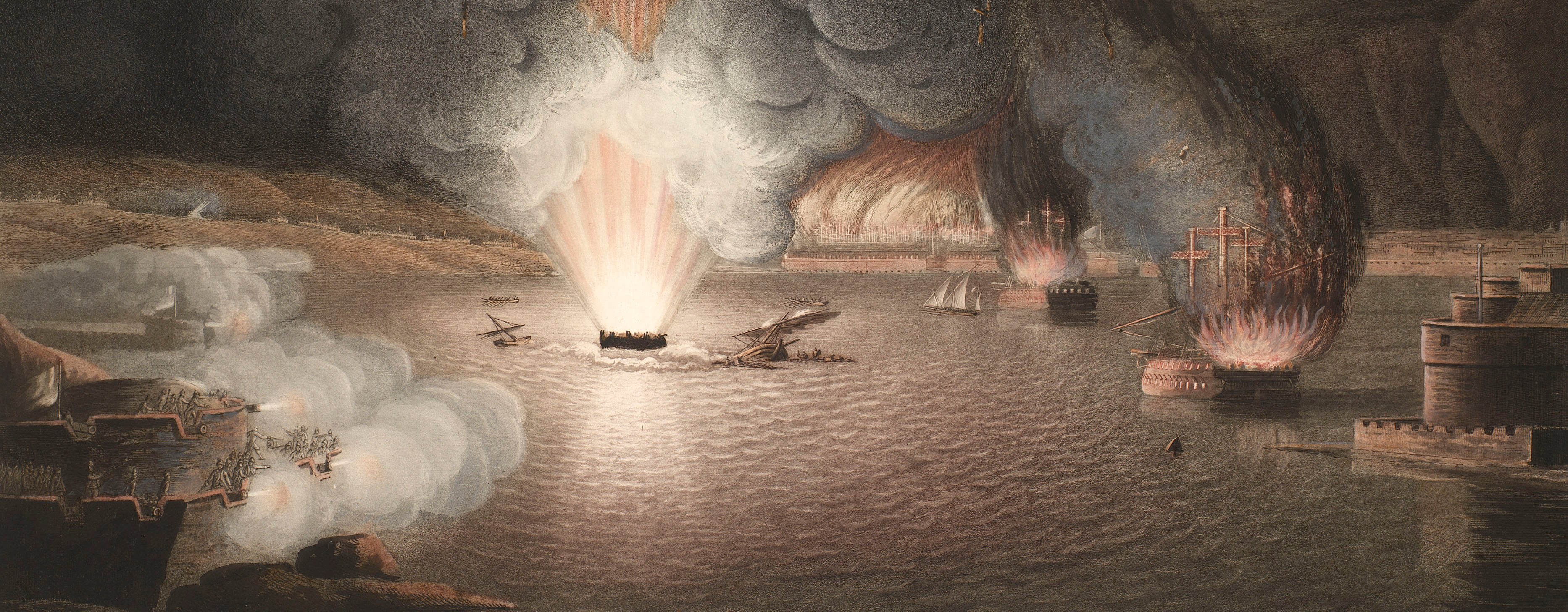
French Revolutionary Wars (1792-1802)
Maps and prints of naval engagements collected by George III during the decade of war
Map of the siege of Mainz, 1795 (Mainz, Rhineland-Palatinate, Germany) 50°00'00"N 08°16'16"E
1795 or laterEtching and engraving; printed on paper; hand coloured | Scale: 1:21,000 approx. | RCIN 735031
The Battle of Mainz, resulting in an Austrian victory and bringing the siege to an end, was fought on 29 October 1795, during which the French commander, Jean-Marie Coutelle, used a hot air balloon as a reconnaissance tool. This detailed topographical map appears to show all the lines of field fortifications, the local route network and relief.
Additional text: [top left, in rectangular panel, a key, A-I, K-Q, to the French and Austrian field fortifications:] ERKLÆRUNG Französische Werker … Kaiserliche Werke. [Bottom right, in rectangular panel, a key, a-i, k-s, to the names of the bastions of Mainz fortifications:] ERKLÆRUNG [bottom right, above this key, a key to the colours used to distinguish between the French centre, left and right wings and the Austrian camp.]
Condition: one fold line; brown discolouration, heavy along fold line. Verso: induced discolouration.
Varrentrapp & Wenner (active 1795) (publisher) [top right, below title, in title cartouche:] Frankfurt a. M. bei Varrentrapp und Wenner. / Gestoch. von C. Felsing zu Darmstadt.
I.N. Arnould (active 1795) (cartographer)
Johann Conrad Felsing (1766-1819) (engraver)
Subject(s)
Army-AustriaArmy-FranceWatermark: None
Condition: one fold line; brown discolouration, heavy along fold line. Verso: induced discolouration
Scale: 1:21,000 approx. Scale bar: Maastab von 1500 Franz. Klafter oder 681 Deutsch. Ruthen iede zu 16 Sch. Gerech. [142 mm =].
51.7 x 60.2 cm (neatline)
52.4 x 60.8 cm (image)
55.0 x 64.0 cm (platemark)
56.0 x 68.8 cm (sheet)
Printed title:
PLAN / der Stadt und Vestung / MAYNZ / und ihrer Gegend / während der Französischen Belagerung / derselben von dem Jahr 1794 bis 1795 / mit allen feindlichen Positionen, Contre- / vallations = Linien und Verschanzungen wie / sie d. 29.t Octob. 1795 von den K.K. Truppen / unter Feldmarschal Gr. v. Clerfait mit / Sturm erobert wurden, nach einem Fran = / zösischen Original Plan und mit Bei = / fügung der wichtigsten Deutschen Verschan = / zungen gezeichn. von I.N. Arnould Ing. [top right, in rectangular panel]
Additional text:
[top left, in rectangular panel, a key, A-I, K-Q, to the French and Austrian field fortifications:] ERKLÆRUNG Französische Werker … Kaiserliche Werke. [Bottom right, in rectangular panel, a key, a-i, k-s, to the names of the bastions of Mainz fortifications:] ERKLÆRUNG [bottom right, above this key, a key to the colours used to distinguish between the French centre, left and right wings and the Austrian camp.]
Annotations:
George III heading: Mentz 1794-1795.
Other annotations: (Recto) none. (Verso) [bottom centre, black pencil, beneath old heading, partly legible:] XVIII/[?]
George III catalogue entry:
Mentz Plan der Stadt und Vestung Maynz und ihrer gegend wahrend der Franzosischen Belagerung derselben von dem Jahr 1794 bis 1795; mit allen feindlichen Positionen, Contrevallations-Linien und Verschanzungen wie sie den 29.ten Oct. 1795 von dem Truppen unter Feldmarschal Gr. v. Clerfait mit sturm erobert wurden, nach einem Franzoischen original Plan und mit beifugung der wichtigsten Deutschen Verschanzungen gezeichen, von I.N. Arnould Ing.r bei Varrentrapp und Wenner.
Subject(s)
Mainz, Rhineland-Palatinate, Germany (50°00'00"N 08°16'16"E)
Page revisions
25 May 2024
Current version


