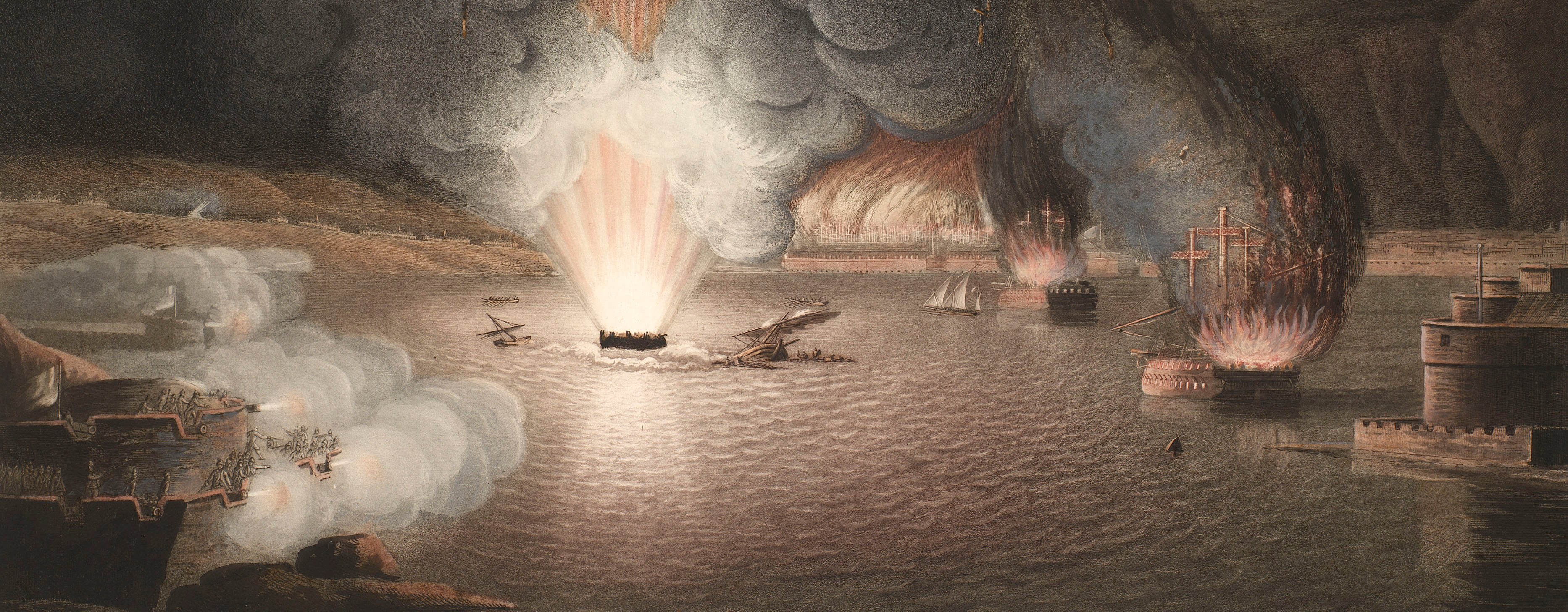
French Revolutionary Wars (1792-1802)
Maps and prints of naval engagements collected by George III during the decade of war
Map of the siege of Valenciennes, 1793 (Valenciennes, Nord-Pas-de-Calais, France) 50°21'00"N 03°32'00"E
c.1793Etching and engraving; printed on paper; hand coloured | Scale: 1:9,000 approx. | RCIN 735012.d
This plan is very similar in detail to the manuscript at RCIN 735012.c and may have been compiled from it, or a copy of it. The routes of the three columns of attack are coloured in red.
Additional text: [left, below title, down left side of map, keys to the locations of the batteries in the three parallels, with details of the number of guns and mortars and their calibres.]
Condition: one fold line; surface dirt; slight brown staining. Verso: induced discolouration.
William Faden (1 July 1749-21 March 1836)) (publisher) [bottom centre, below edge of border:] Publish’d by W. Faden Geog.r to His Majesty & to His R:H: the Prince of Wales Charing Cross Sept.r 10 1793.
Anonymous (draughtsman) [top left, following on from title:] By an Officer in the Army.
Subject(s)
Army-Allied army (War of the First Coalition, 1792-8)Watermark: None
Condition: one fold line; surface dirt; slight brown staining. Verso: induced discolouration
Scale: 1:9,000 approx. Scale not stated.
29.8 x 40.7 cm (neatline)
30.8 x 51.0 cm (image)
32.2 x 53.0 cm (platemark)
33.2 x 53.4 cm (sheet)
Printed title:
PLAN / of the / SIEGE of VALENCIENNES / by the Allied Army Commanded / BY / His R: H: the DUKE of YORK, / from the 18,,th May to the 25,,th July. / By an officer in the army. [top left, above explanatory text, all in a rectangular panel]
Additional text:
[left, below title, down left side of map, keys to the locations of the batteries in the three parallels, with details of the number of guns and mortars and their calibres.]
Annotations:
George III heading: Valenciennes 18 May-25 July 1793.
Other annotations: none.
George III catalogue entry:
Valenciennes Plan of the Siege of Valenciennes by the Allied Army commanded by the Duke of York from the 18.th of May to the 25.th of July 1793: published by Faden, 1793.
Subject(s)
Valenciennes, Nord-Pas-de-Calais, France (50°21'00"N 03°32'00"E)
Page revisions
3 November 2024
Current version


