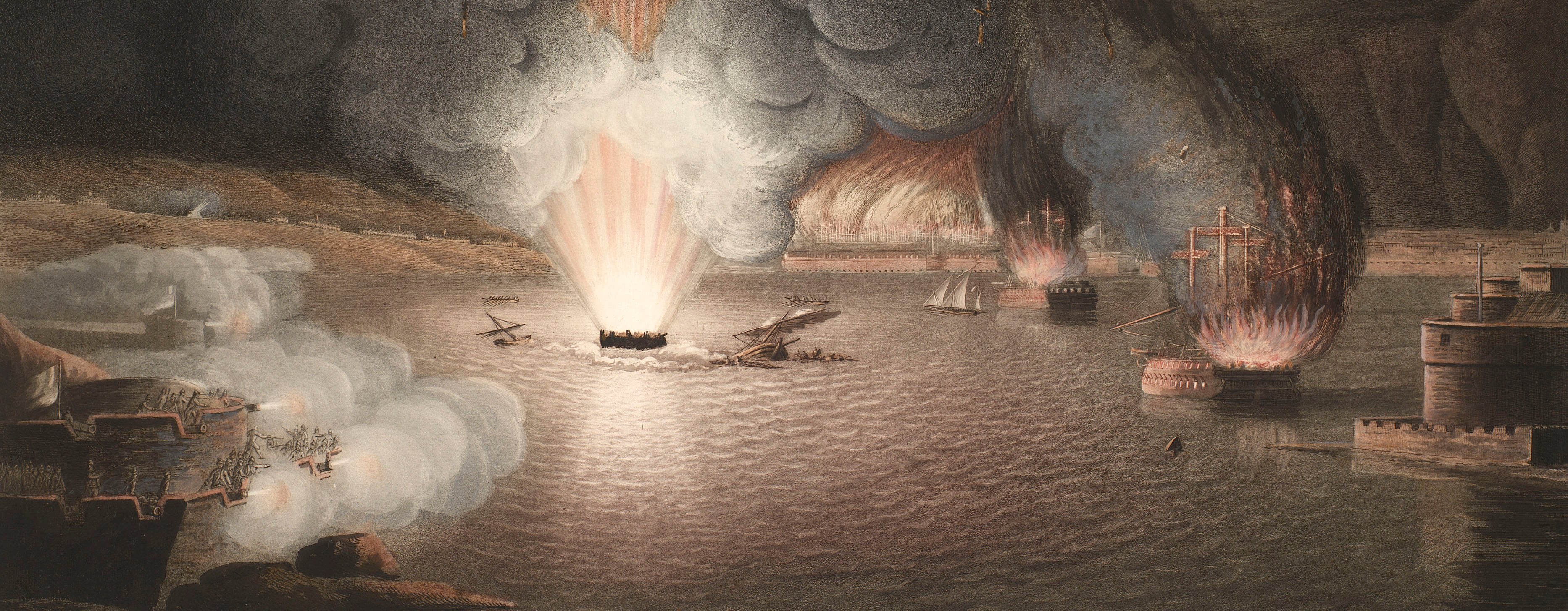
French Revolutionary Wars (1792-1802)
Maps and prints of naval engagements collected by George III during the decade of war
Plan of the siege of Valenciennes, 1793 (Valenciennes, Nord-Pas-de-Calais, France) 50°21'00"N 03°32'00"E
c.1793Pencil, pen, ink and watercolour on paper; pricking through | Scale: 1:3,500 approx. | RCIN 735012.c
Additional text: [top left, below title:] Anmerckung / Die Arbeiten jeder Nacht in den Laufgraben sind durch / Farben und dazu gesetzte rothe Zahlen angezeigt, da / wo die Folge von leztern fehlt ist nichts neues gemacht / sondern blos an Vervollkommung der Tranchée / gearbeitet. [Bottom left, keys to the positions of the batteries in the first, second and third parallels and a key to the stages of the siege.
Condition: one fold line; slight brown spotting to both sides; surface dirt along left edge. Verso: slight surface dirt along left edge, consistent with the map having been rolled.
Schaeffer (active 1793) (cartographer)
Richards (active 1793) (cartographer)
[J.H.] Wilckens (active 1786-93) (cartographer) [bottom right, inside neatline:] gezeichnet von den Ing.r Fahnrich Schaeffer Wilckens Richards
Subject(s)
Army-Allied army (War of the First Coalition, 1792-8)Watermark: D & C BLAUW; fleur-de-lys in crowned shield, a ‘4’ suspending the letters WR below
Condition: one fold line; slight brown spotting to both sides; surface dirt along left edge. Verso: slight surface dirt along left edge, consistent with the map having been rolled
Scale: 1:3,500 approx. Scale bar: Maastab [111 mm =] 200 Toisen.
47.3 x 69.3 cm (neatline)
47.9 x 70.3 cm (image)
50.0 x 72.5 cm (sheet)
Manuscript title:
PLAN / der / Belagerung / von / VALENCIENNES / durch du Kaÿserl: Königl: und Königl, Engl: / alliirte Trouppen unter Commando Seiner / Königl: Hoheit des Herrn Hertzogs / von Yorck / von Eröfnung der Laufgraben in der Nacht vom 13ten auf den 14ten Juny / bis zur Übergabe den 28ten July 1793. [top left]
Additional text:
[top left, below title:] Anmerckung / Die Arbeiten jeder Nacht in den Laufgraben sind durch / Farben und dazu gesetzte rothe Zahlen angezeigt, da / wo die Folge von leztern fehlt ist nichts neues gemacht / sondern blos an Vervollkommung der Tranchée / gearbeitet. [Bottom left, keys to the positions of the batteries in the first, second and third parallels and a key to the stages of the siege.
Annotations:
George III heading: Valenciennes 18 May-25 July 1793.
Other annotations: none.
George III catalogue entry:
Valenciennes Plan der Belagerung von Valenciennes durch die Kayserl. Konigl. und Konigl. Engl. allurte Trouppen unter commando seiner Konigl. Hoheit des Herrn Hertzogs von Yorck, von erofnung der laufgraben in der nacht vom 13 auf den 14 Iuny, bis zur Ubergrabe den 21 Iuly 1793: gezeichnet von den Ing.r Fahnr, Schaeffer, Wilckens und Richards. drawn.
Subject(s)
Valenciennes, Nord-Pas-de-Calais, France (50°21'00"N 03°32'00"E)
Page revisions
23 May 2024
Current version


