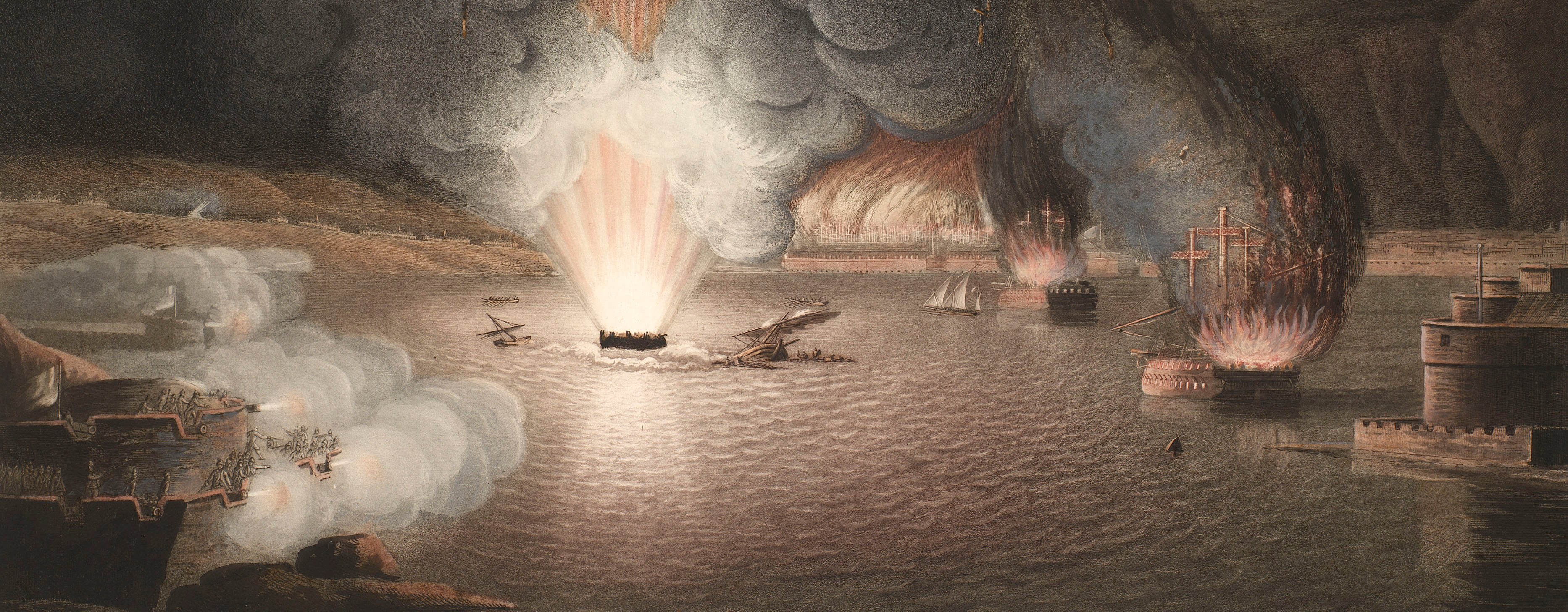
French Revolutionary Wars (1792-1802)
Maps and prints of naval engagements collected by George III during the decade of war
Map of the Rhine River and Saar River, c.1793 (Saarland, Germany)
1796-97Engraving and etching; printed on paper; hand coloured | Scale: 1:227,000 approx. | RCIN 735010.c
This map shows the area to the east of the Saar River, and extends from Saarlouis (49°19'00"N 06°45'00"E) in the north to Herbitzheim (49°10'50"N 07°05'24"E) in the south, and from Maxstadt (49°02'38"N 06°47'34"E) in the west to Walschbronn (49°08'56"N 07°28'53"E) in the east.
The positions and lines of the Prussian and French armies are marked along the Hornbach, Erbach and Saar Rivers. This map appears to accompany the two larger-scale sheets at RCINs 735010.a and b which cover the area to the west of the Rhine between Mainz in the north and Strasbourg in the south. The marches of the armies between Saarlouis, Saarbrücken and Sarreguemines are marked. The engraved key to the colours used to differentiate the armies is left uncoloured on those two sheets and there is no key to the colours, or the Roman numerals II and III, used on this map. It appears that blue represents the French and red is used for the Germans.
For further reading, see:
von Massenbach, (1793:1794), p.111.
Condition: no fold lines.
Carl Jäck (active 1788-1821) (engraver) [bottom left, between border and platemark:] gestochen von C. Jäck Berlin 1796.
Subject(s)
Army-FranceArmy-PrussiaArmy-AustriaWatermark: None
Condition: no fold lines
Scale: 1:227,000 approx. Scale not stated.
23.5 x 28.4 cm (neatline)
24.3 x 28.9 cm (image)
26.2 x 32.2 cm (platemark)
26.9 x 33.9 cm (sheet)
Printed title:
No title
Annotations:
George III heading: Rhine 1793-1794.
Other annotations: none.
George III catalogue entry:
Rhine Karte und Ubersicht der ganzen Operation am Obern Rhinstrohm im Jahr 1793 und 1794 nebst allen Stellungen der Koniglichen Preussischen auch Kayserlichen Konigliche Truppen und Batallien unter fuhrung und befehl Seiner Koniglichen Majestat von Preussen, hernachmals aber unter befehl Seiner Hochfurstlichen Durchlaucht des regierenden Herzog von Braunschweig und Kayserliche Konigliche General Lieutenant Graffen von Wurmser: gestochen von Carl Jack, 1796-97. 3 blattern.
Subject(s)
Saarland, Germany
Bibliographic reference(s)
C.K.A.L. von Massenbach, Kurze Uebersicht der Feldzuges an der Saar und Blies: aus einem Tagebuch eines bey der Aliirten Armee befindlichen Englischen Officiers frey übersetzt ... Frankfort and Leipsic (1793), which is referred to in The analytical review, or history of literature, domestic and foreign…also the literary intelligence of Europe, vol. 20, September to December 1794, p. 111
Page revisions
3 November 2024
Current version


